On The Waterfront Blog

A Perspectival Analysis of the Ecological and Sociological Implications to Community with the Revitalization of European Urban Waterfronts.

With some travel in between!

Wonderful, Wonderful Copenhagen!

2-4 July 2016

Hilsener fra københavn!

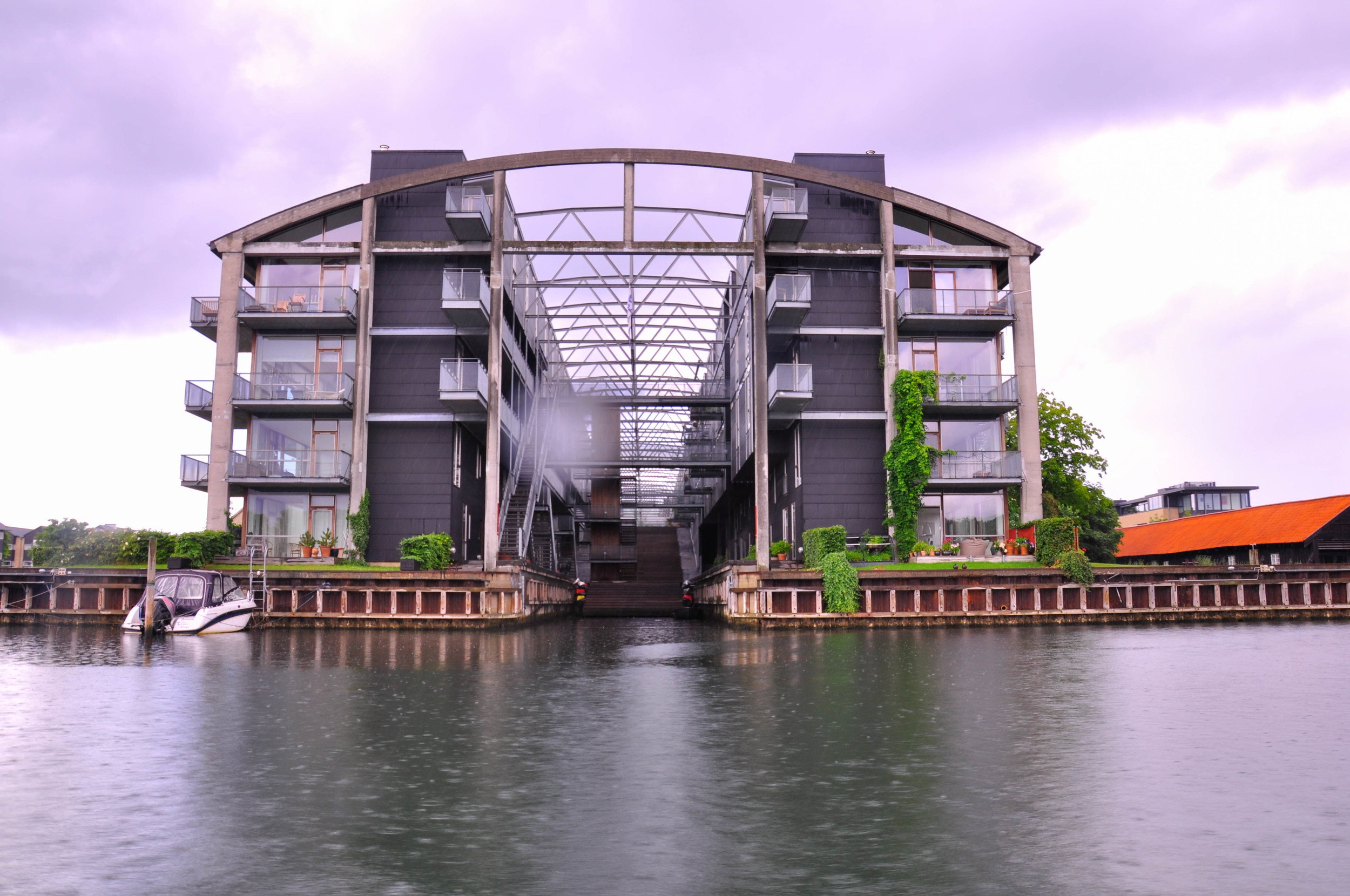
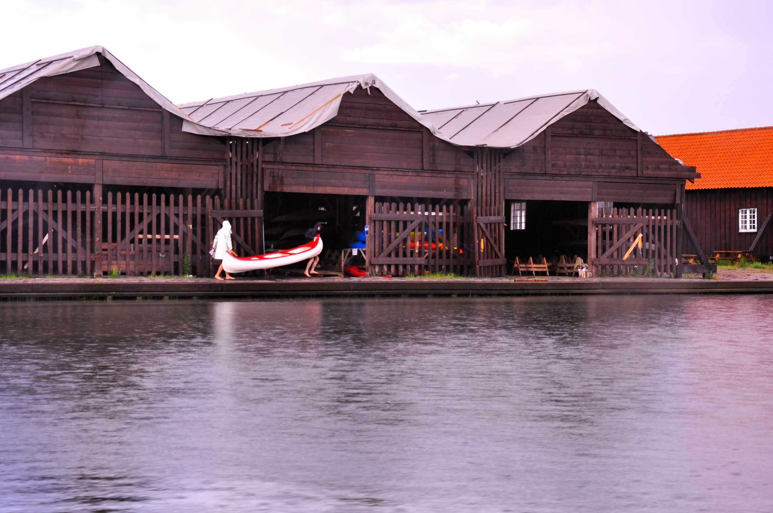
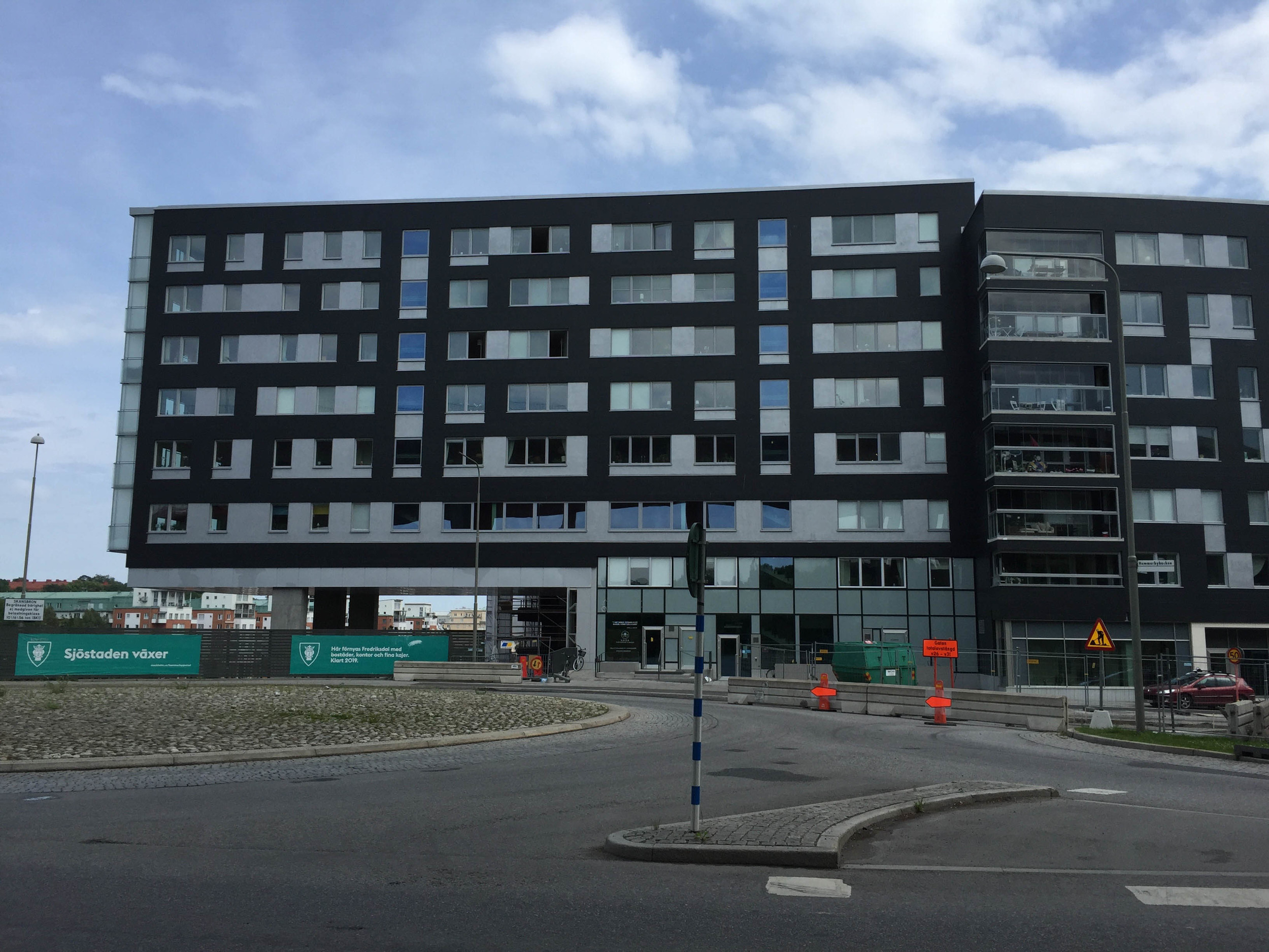
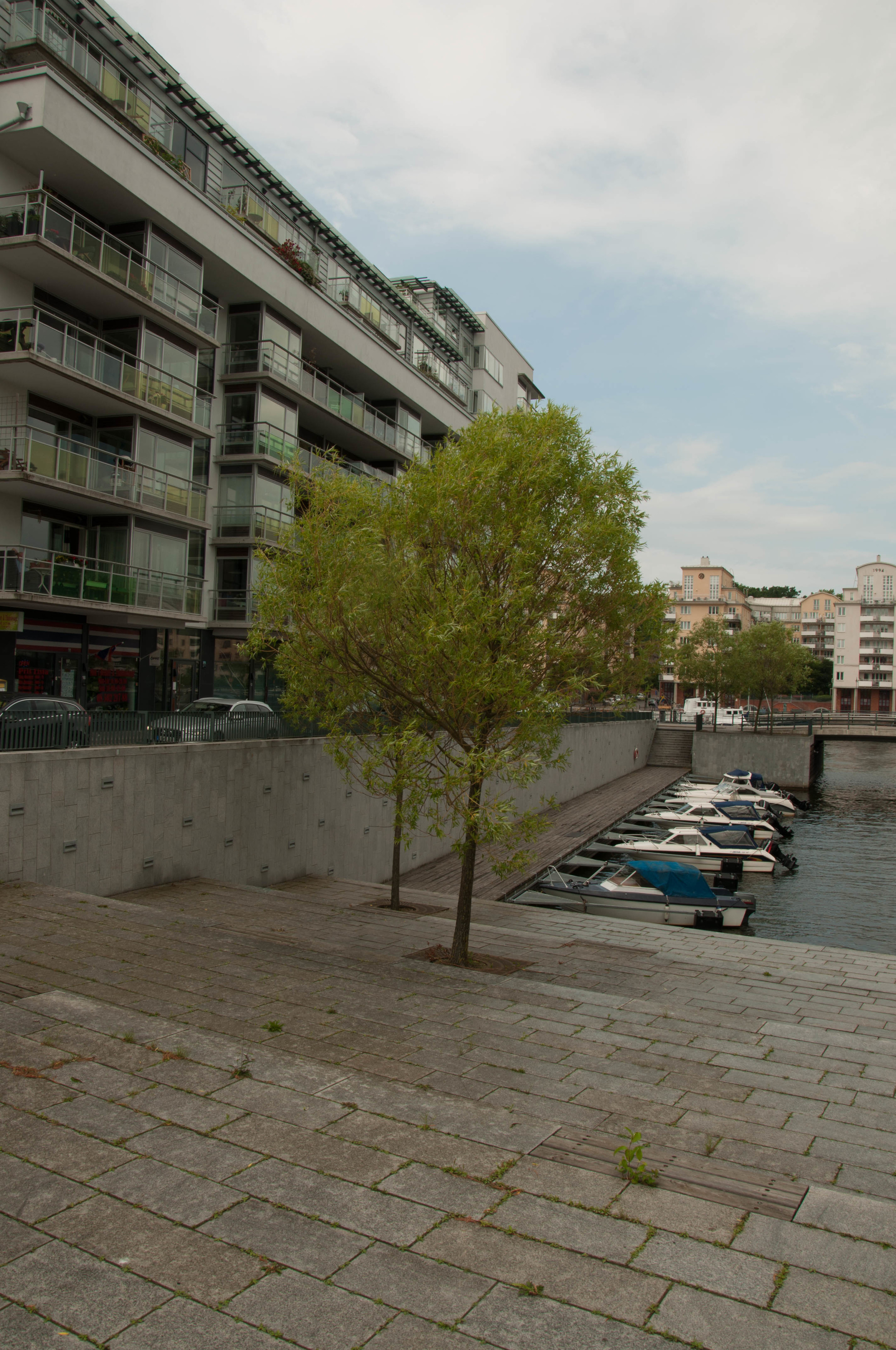
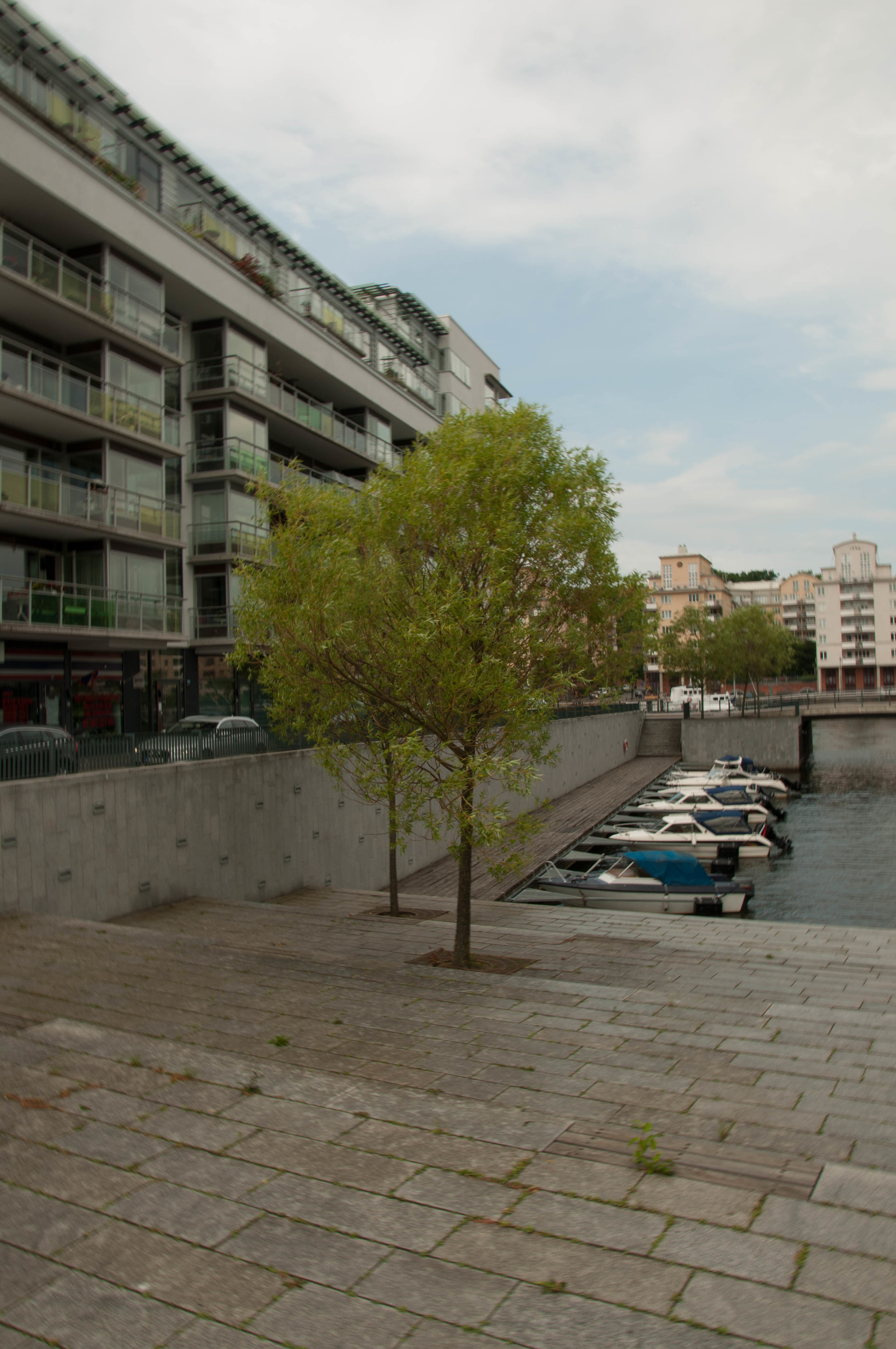
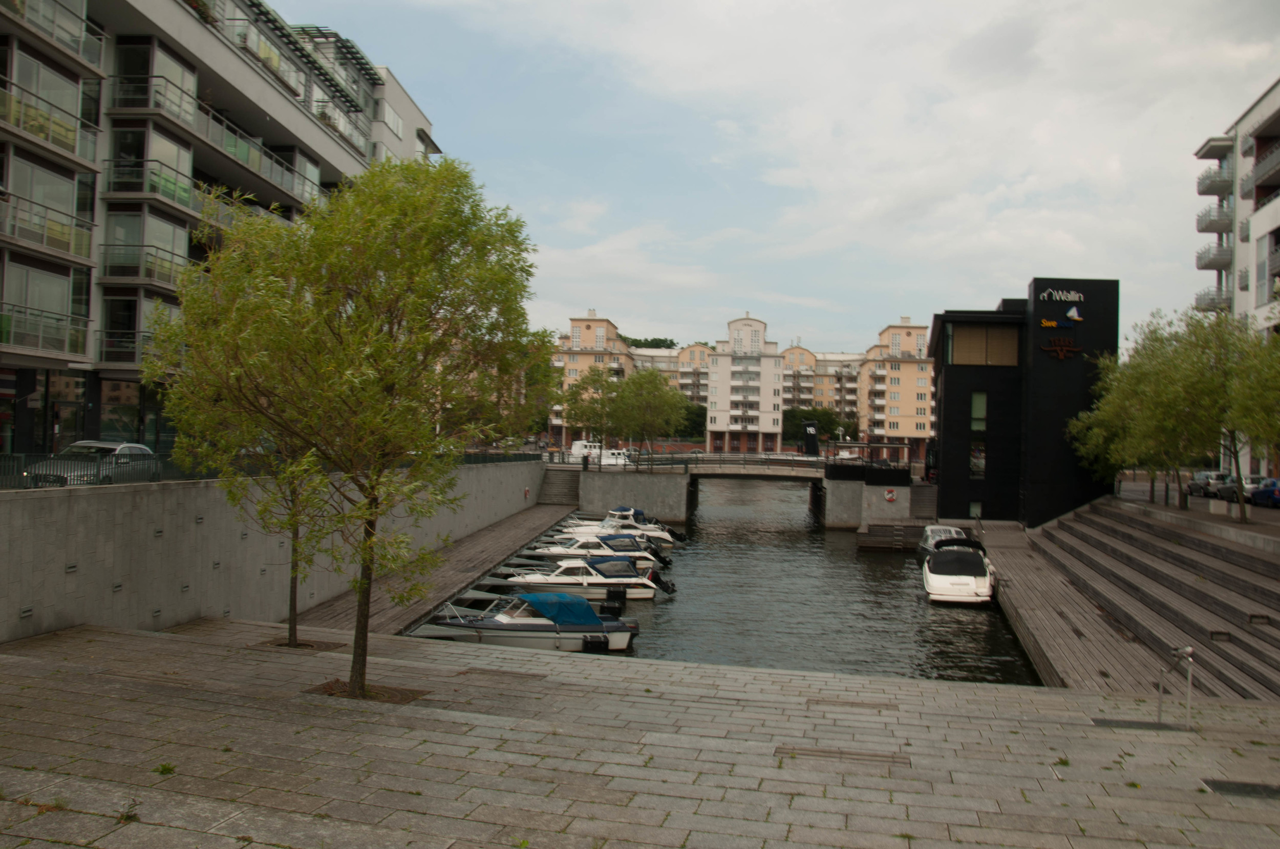
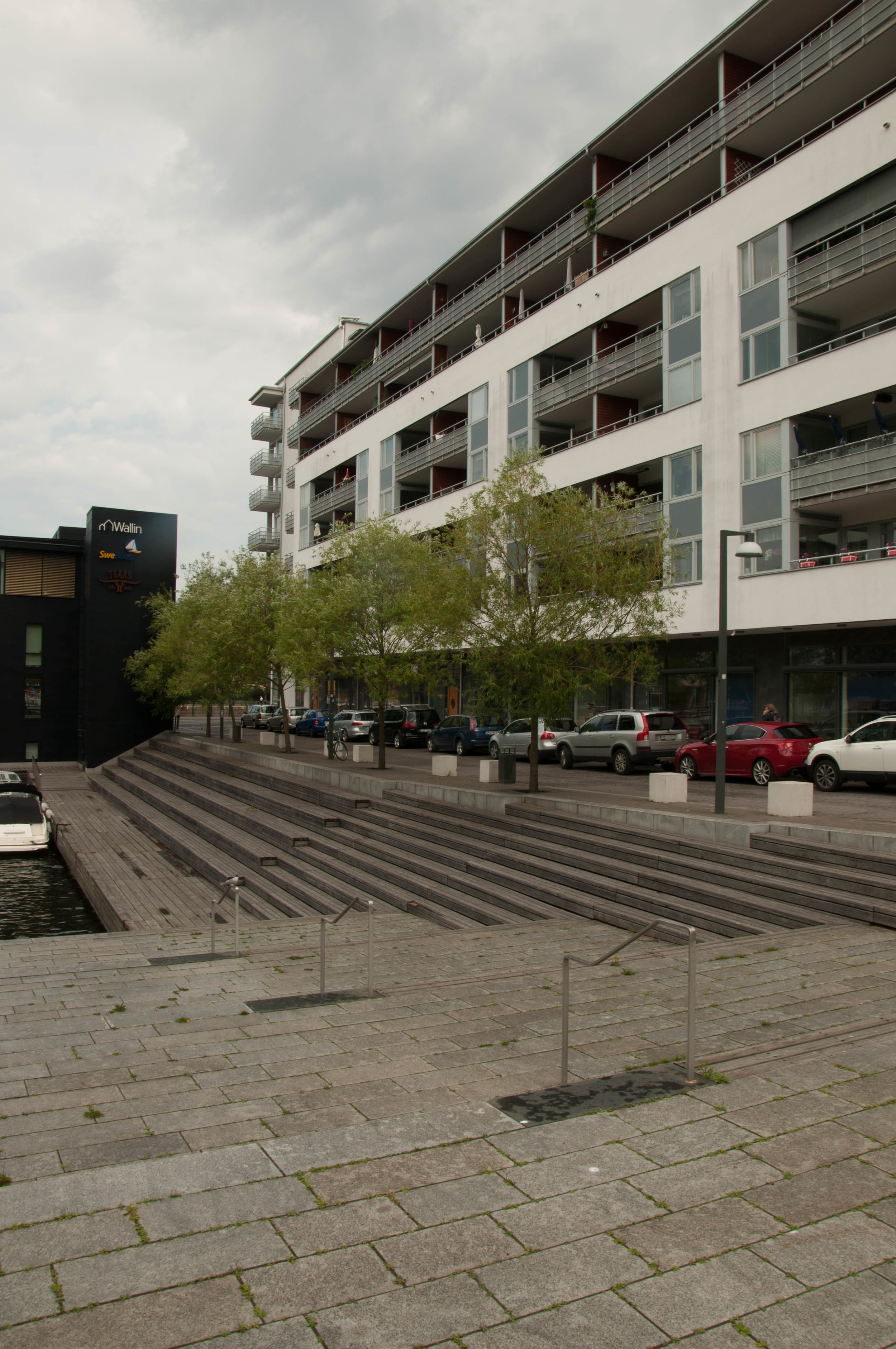
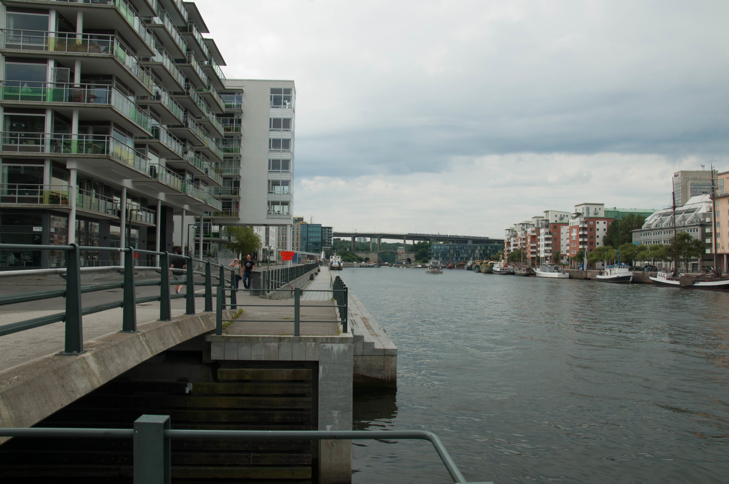
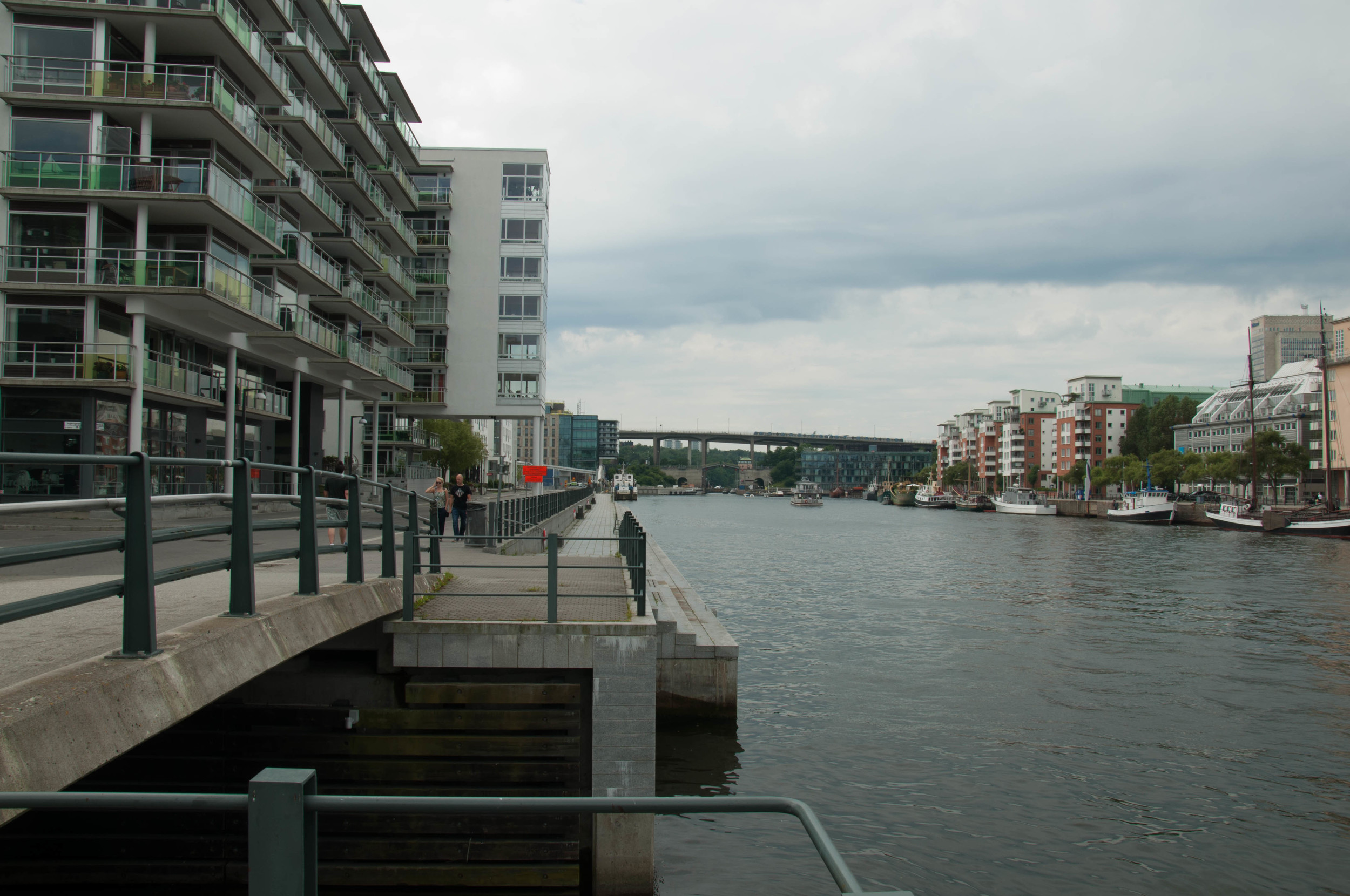
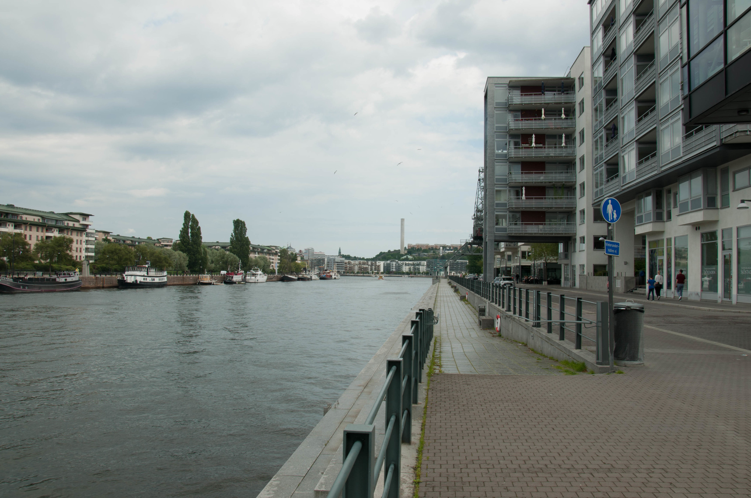
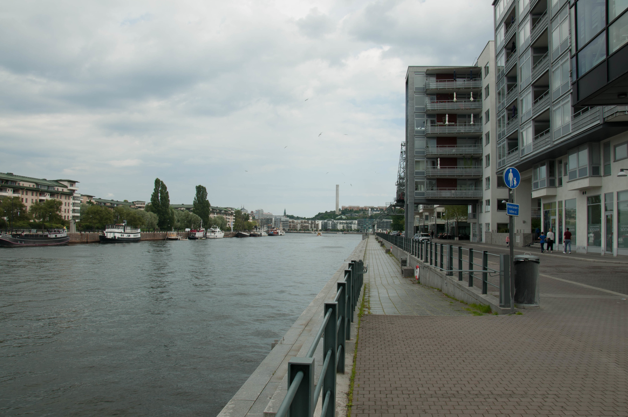
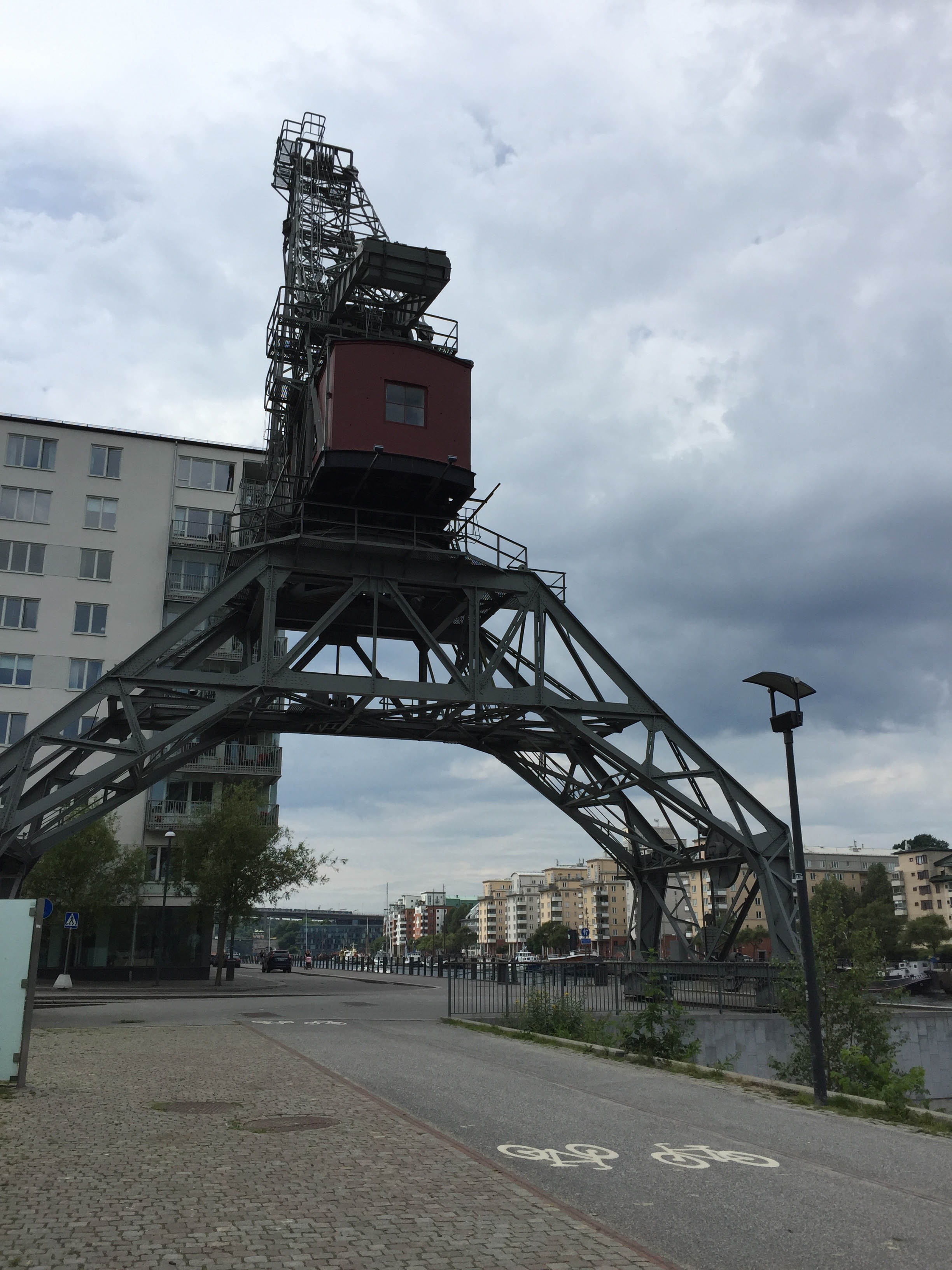
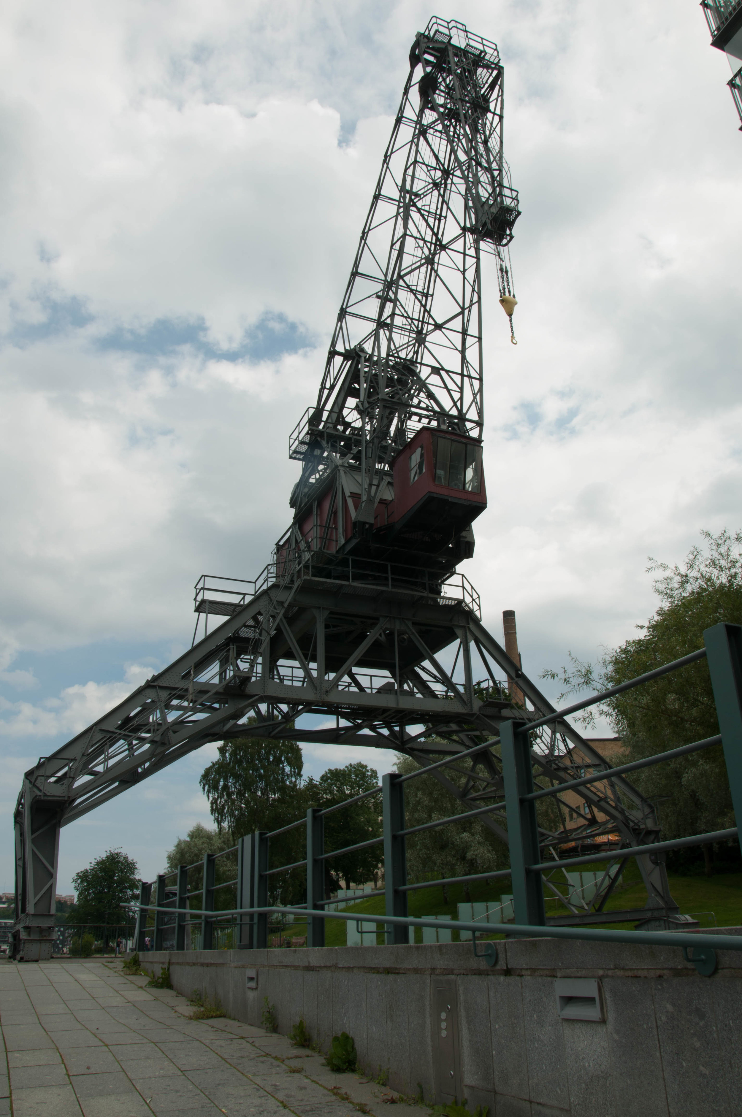
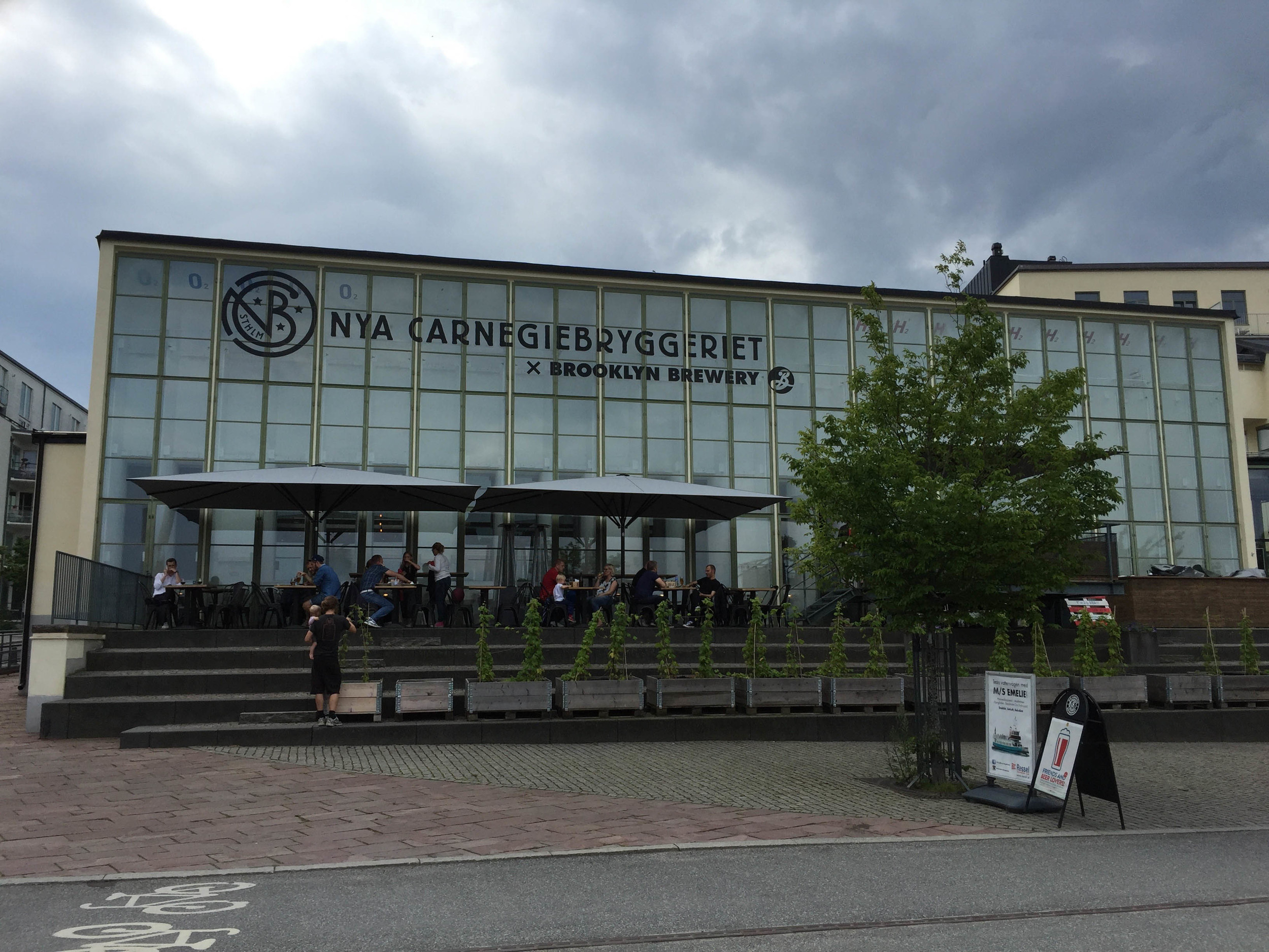
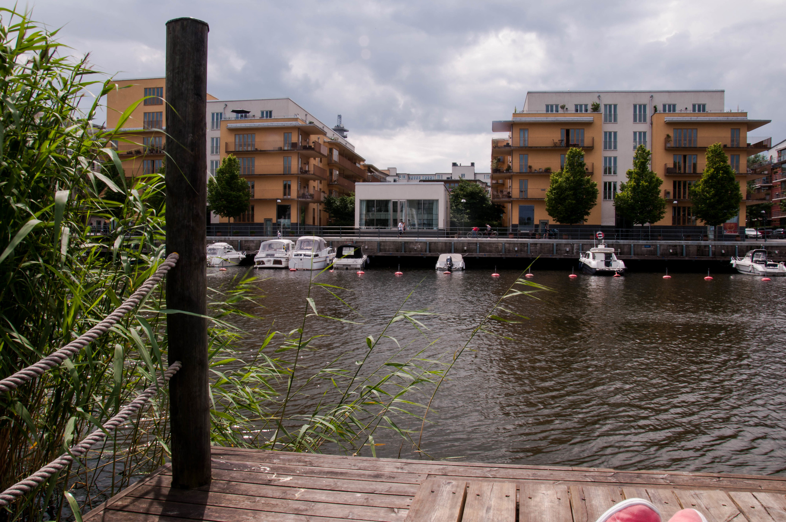
Former ship hanger turned into luxury housing that must be entered by boat.

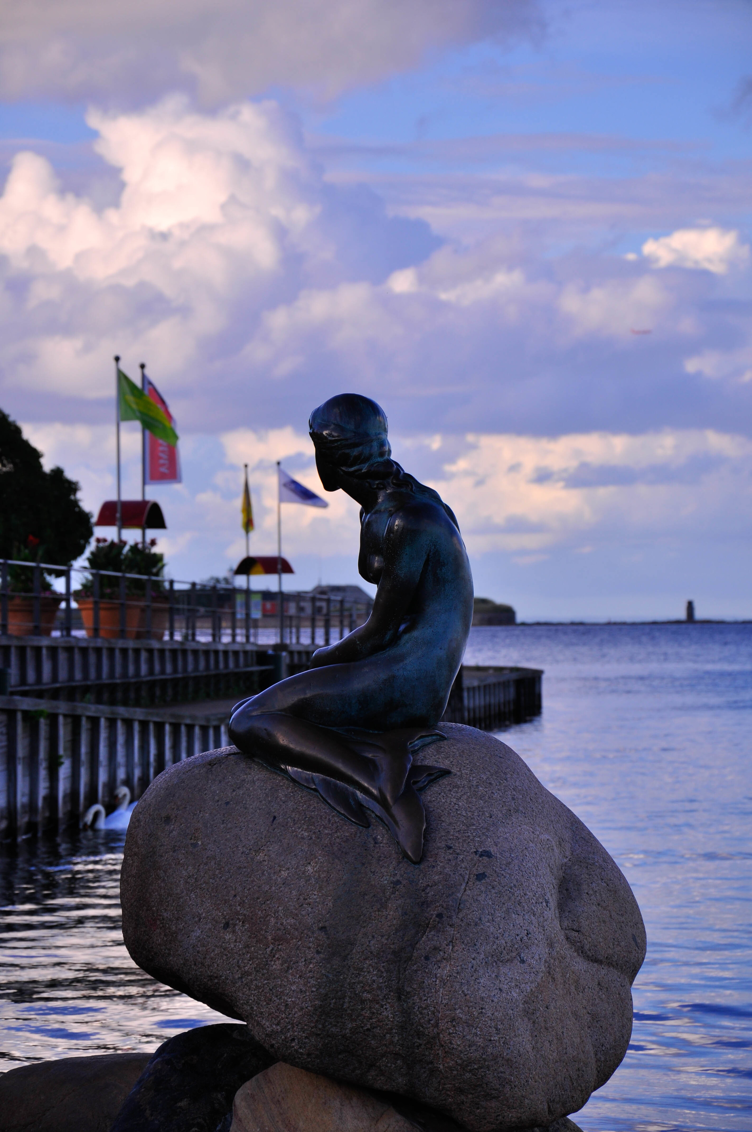
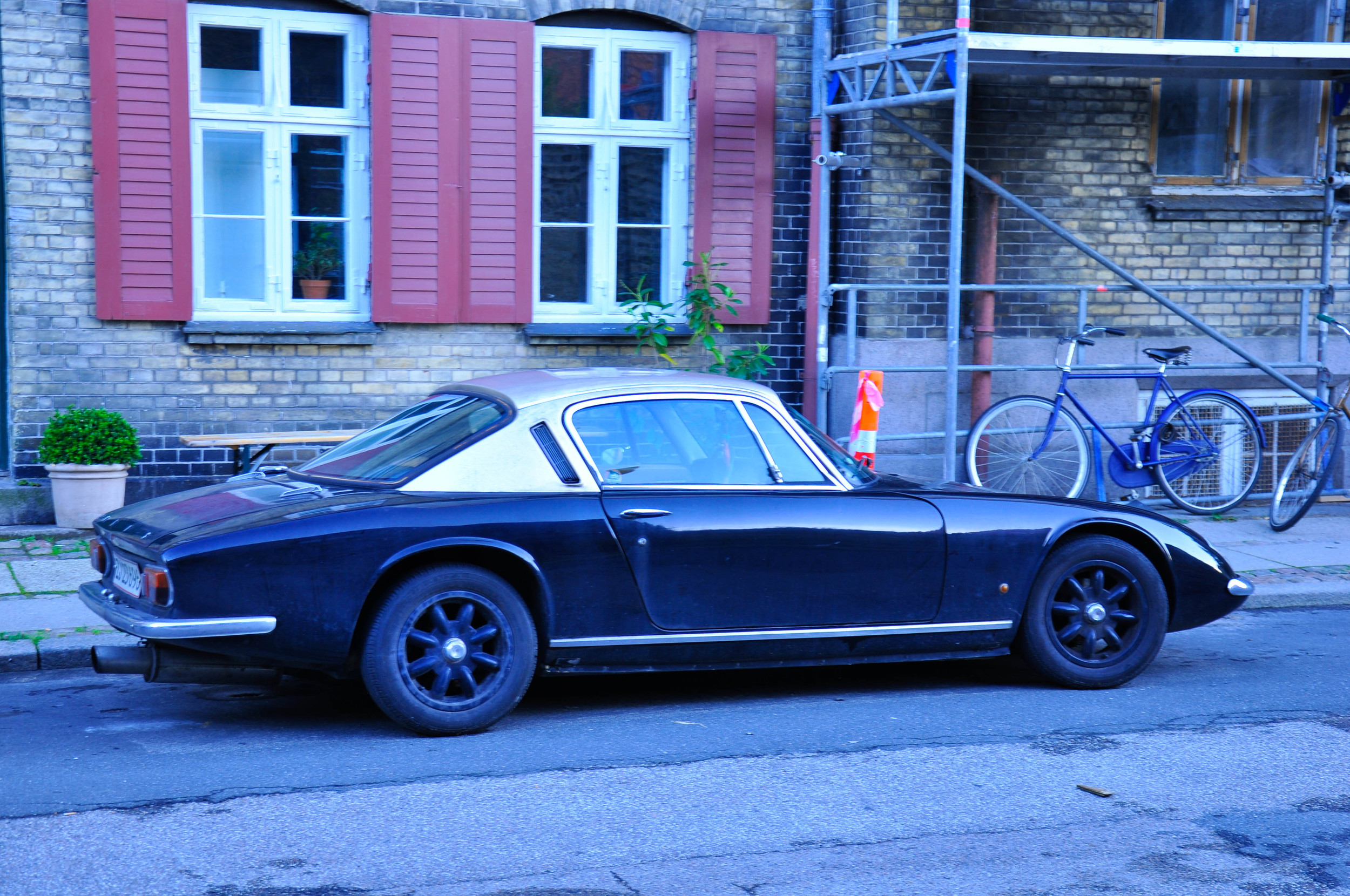
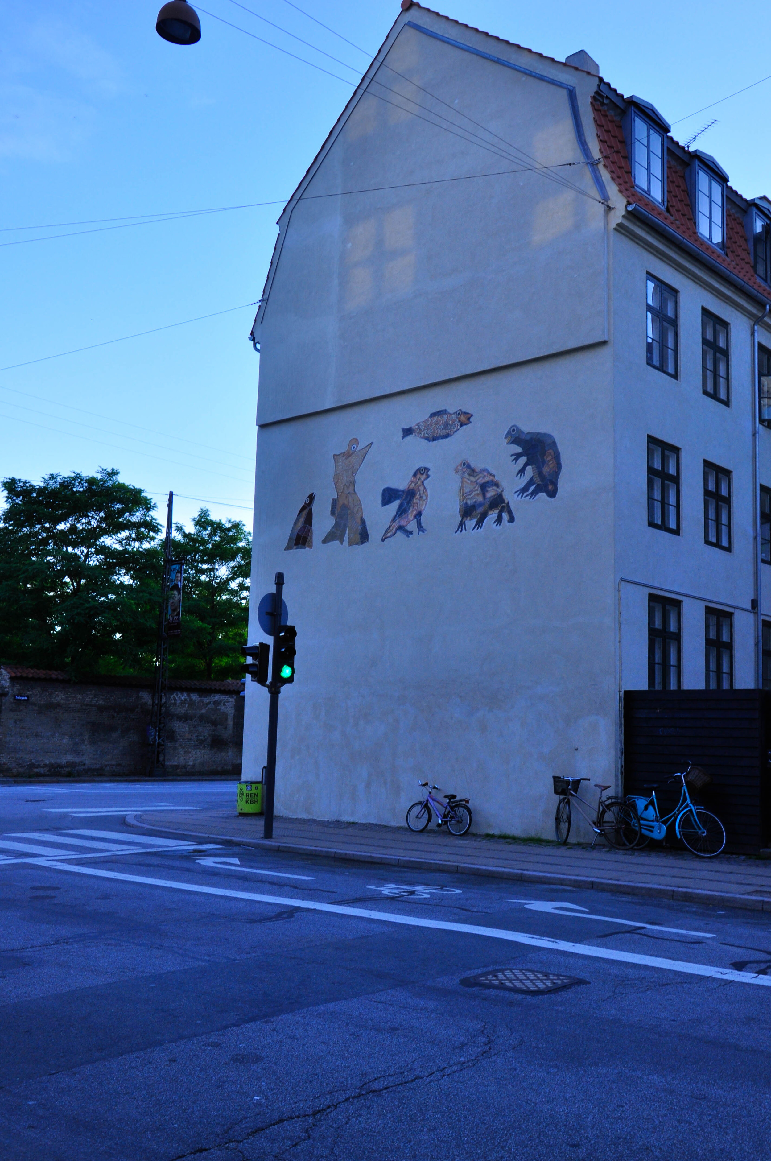
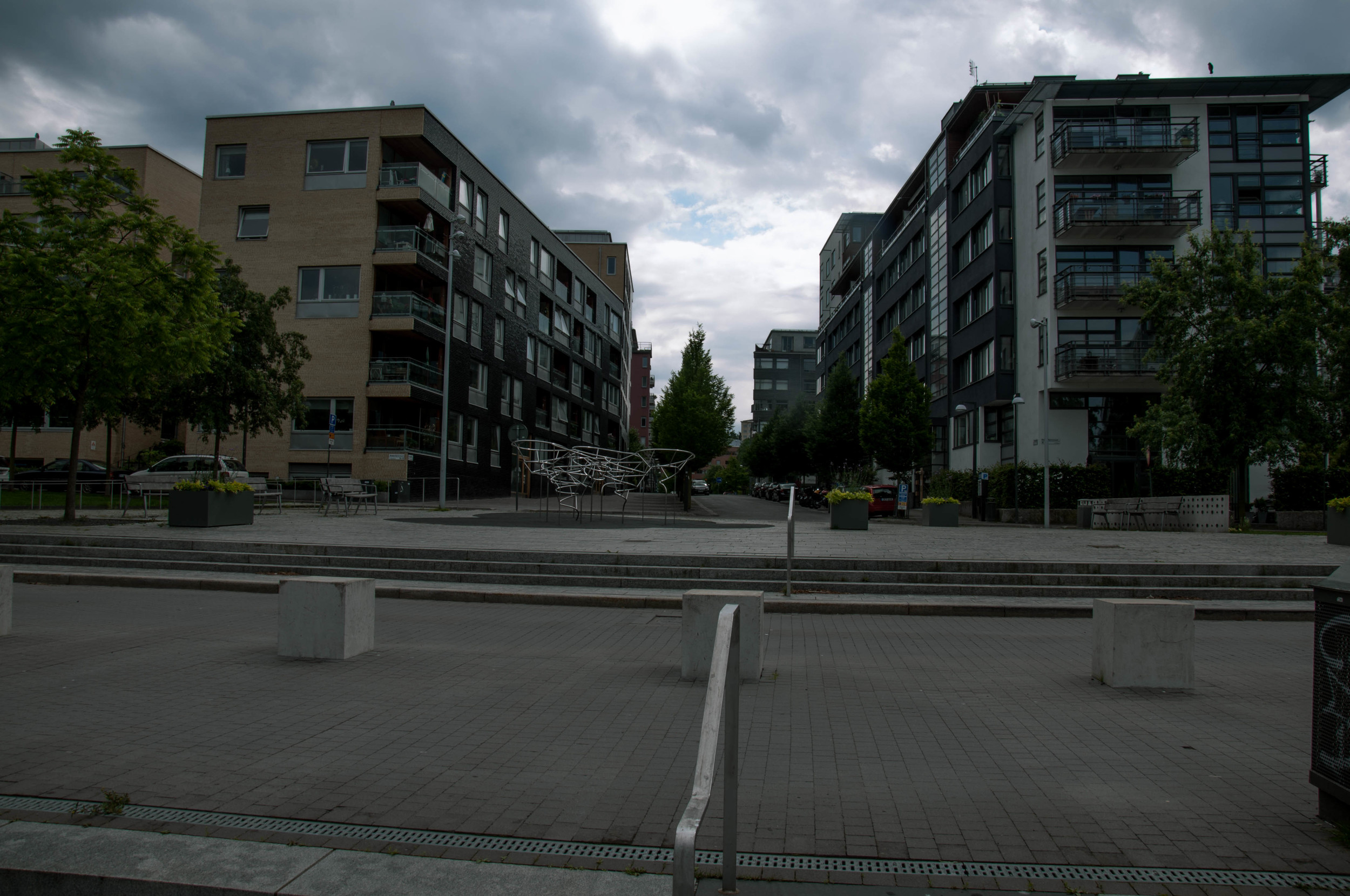
After, literally, running through Stockholm, I am journeying on my train to Copenhagen. As long admirer of Hans Christian Andersen’s tales, naturally the first wonders that come to mind when thinking of Copenhagen are, “Wonderful, Wonderful, Copenhagen!” and “There once was an ugly duckling…Whose feathers were stubby and brown!”[1] Mention the city Copenhagen to an architecture student, and the words that follow are typically Bjarke Ingels, BIG, and bicycles. While there is truth to all these descriptive monikers, Copenhagen is an infrastructural gem!

The Lay of the Land

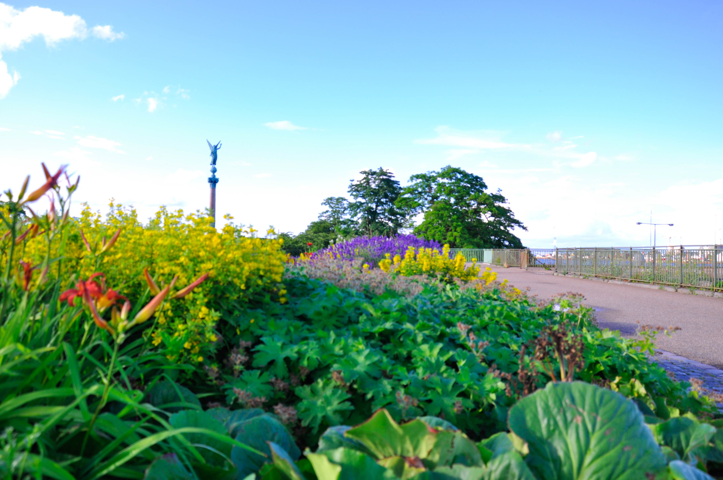
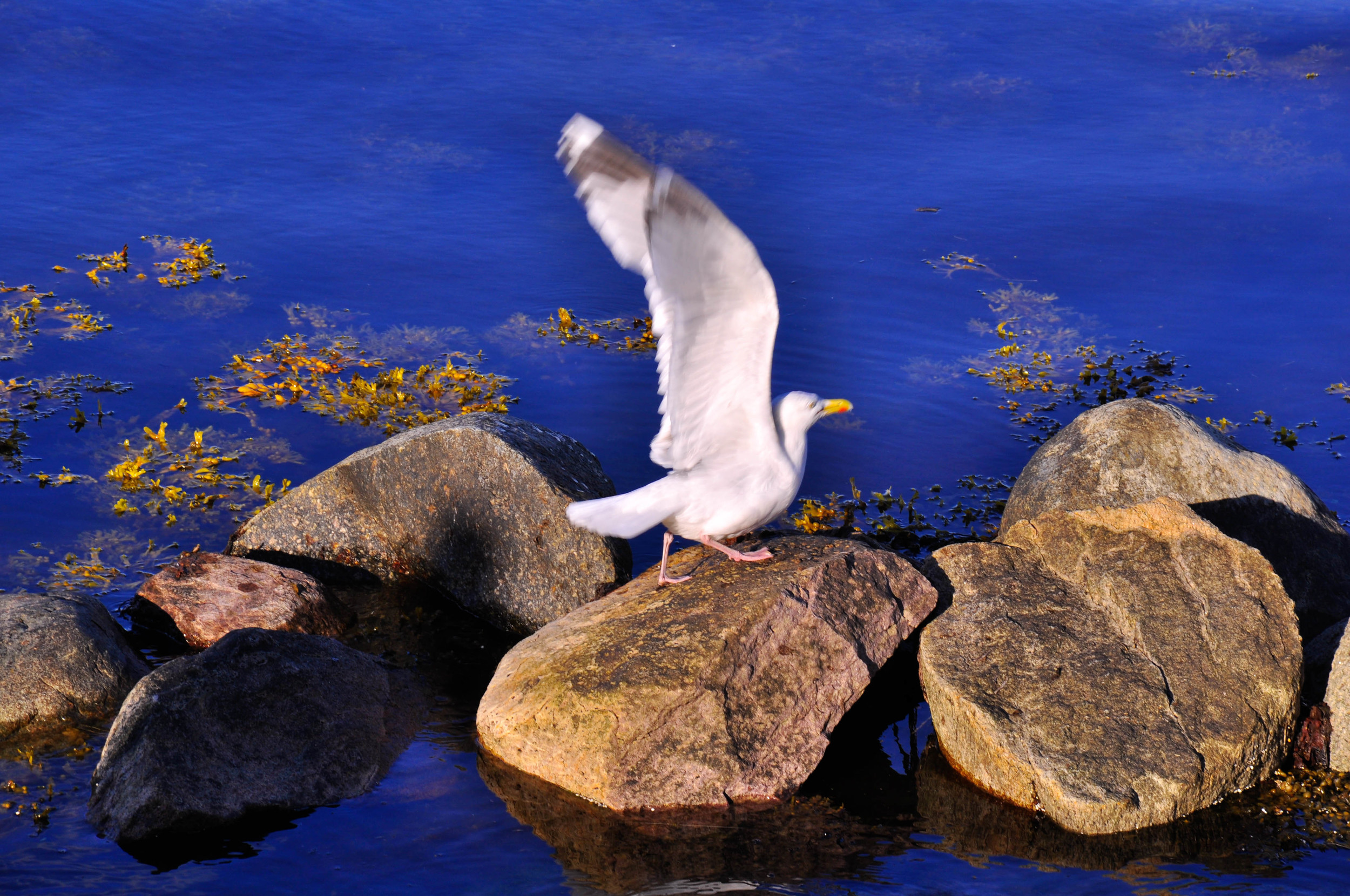
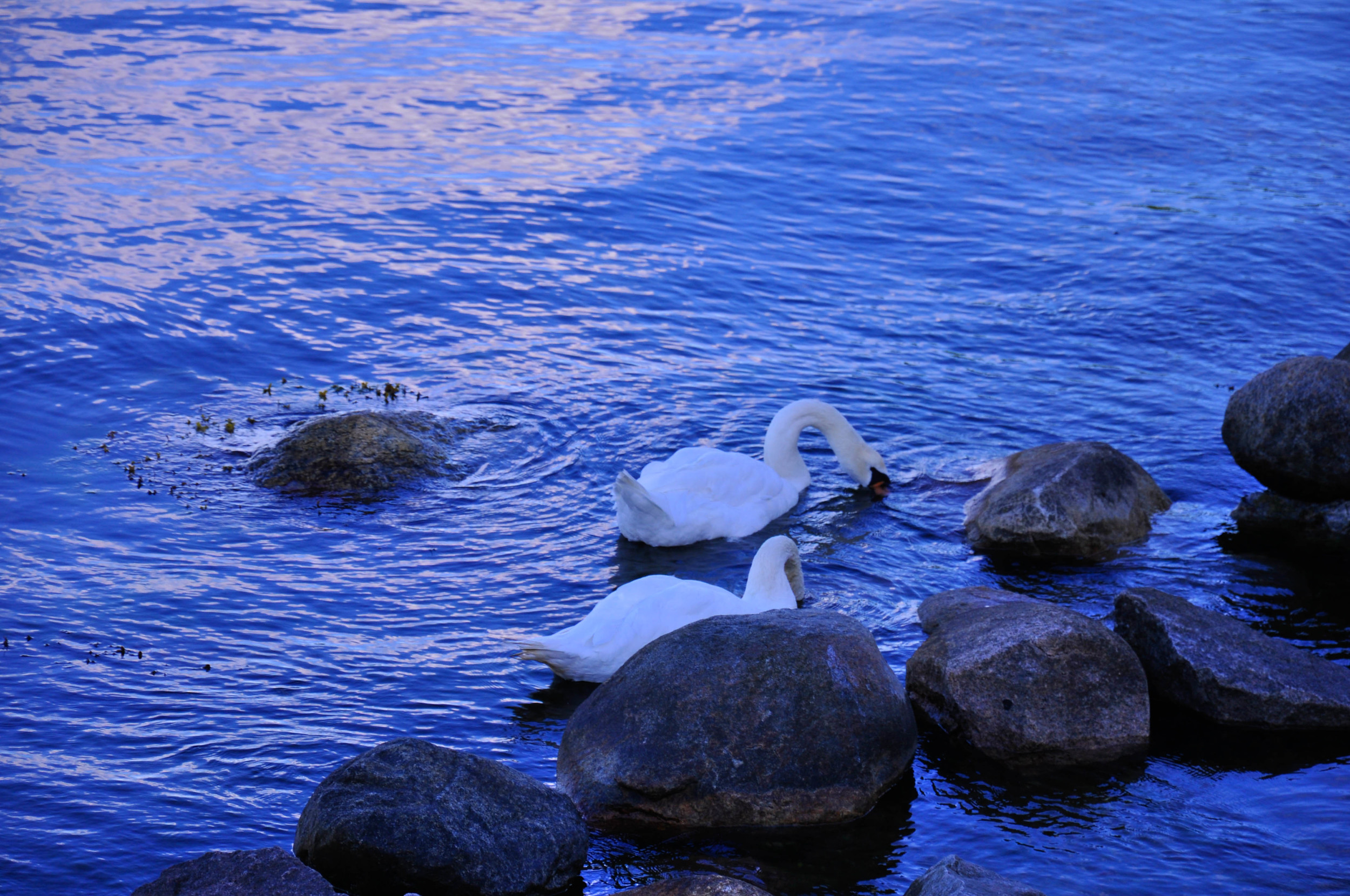
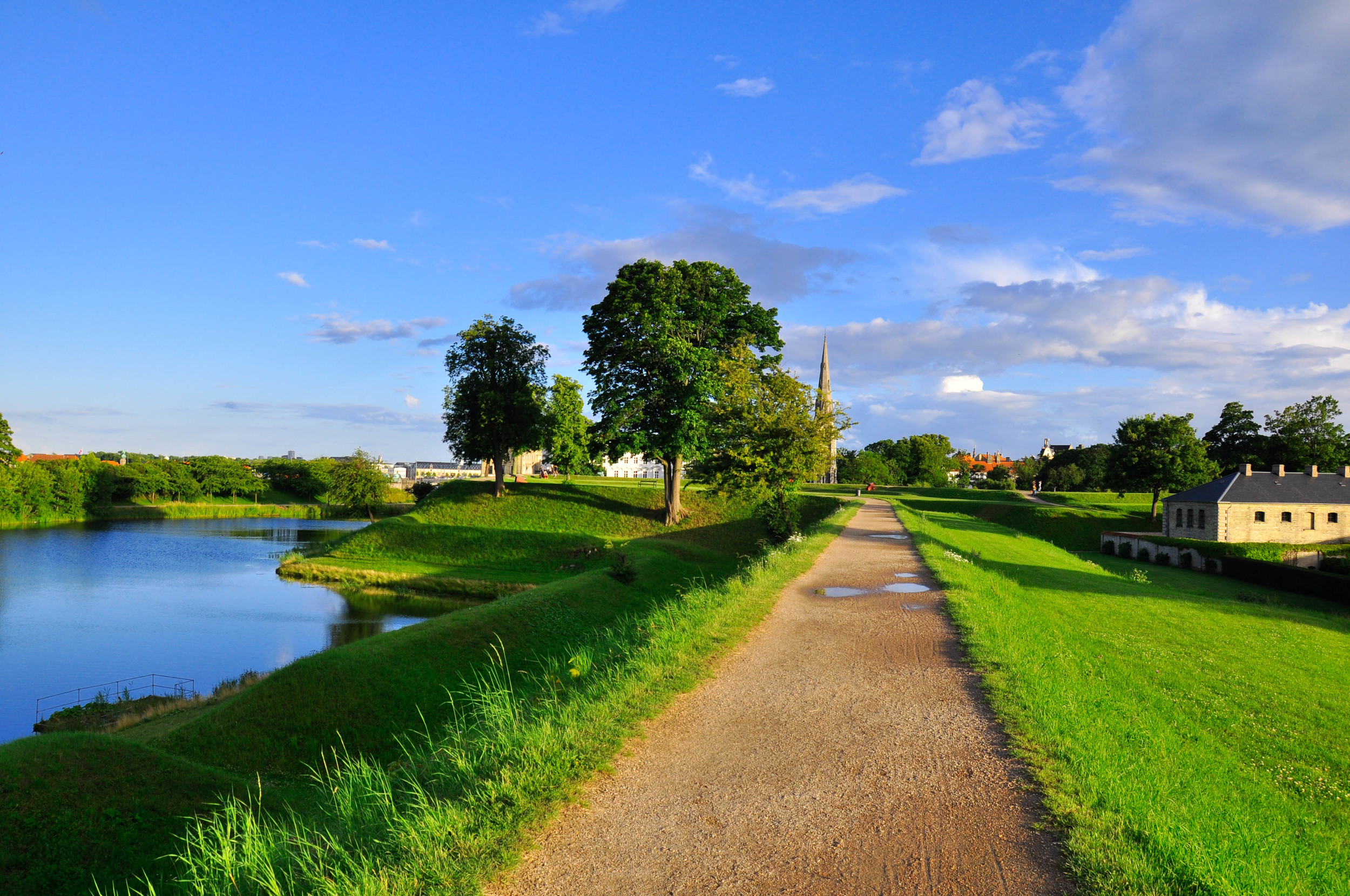
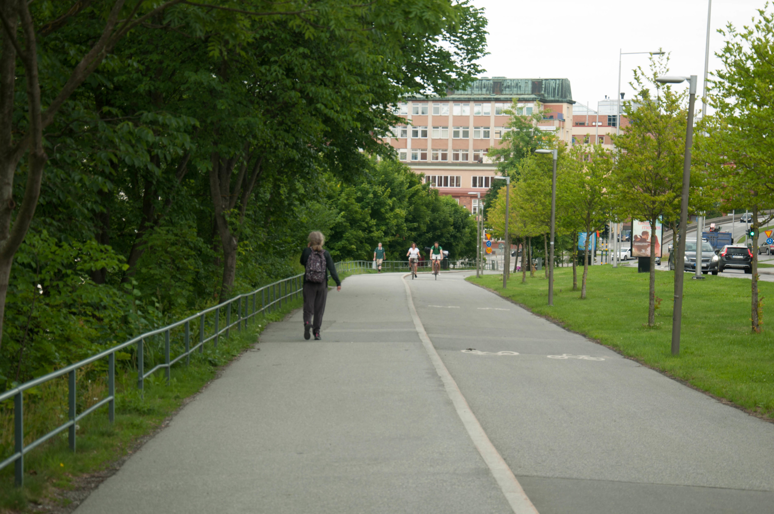
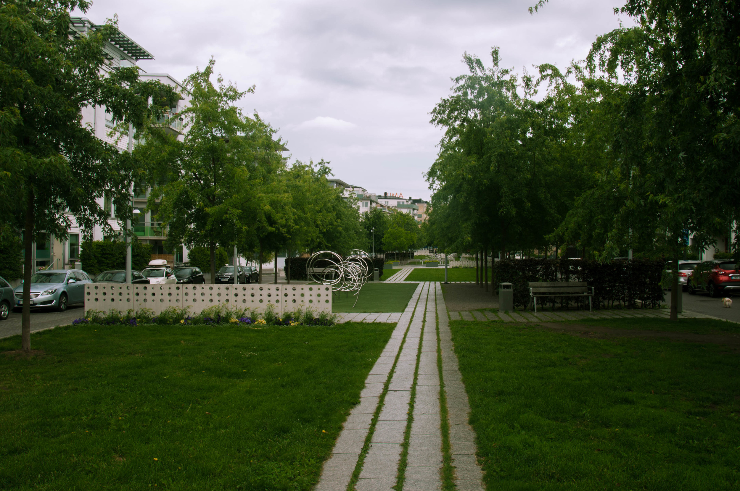
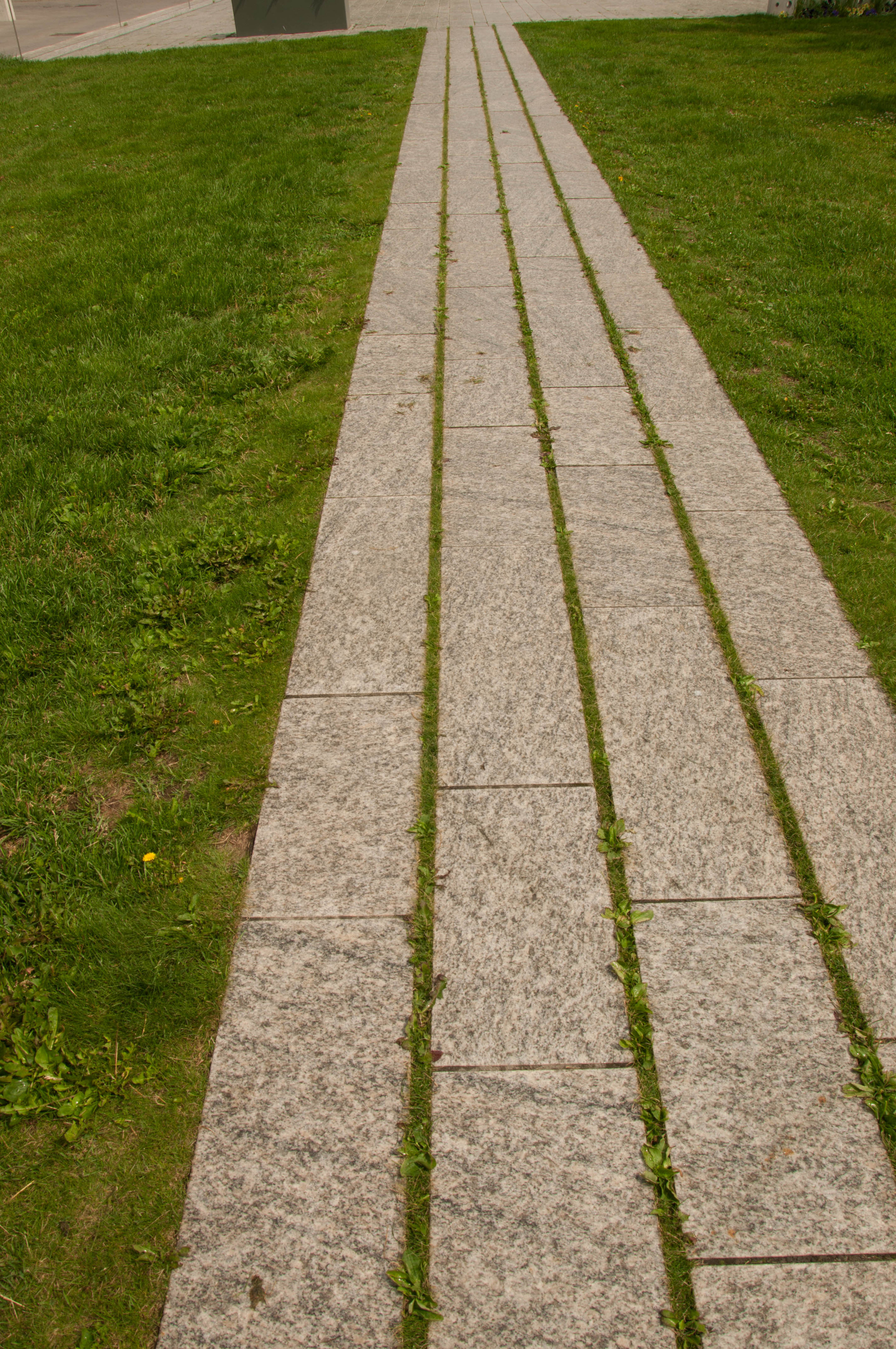
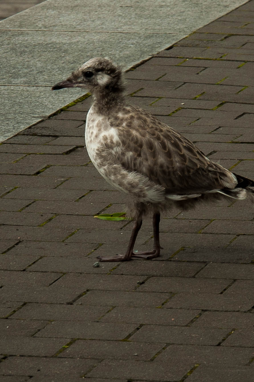
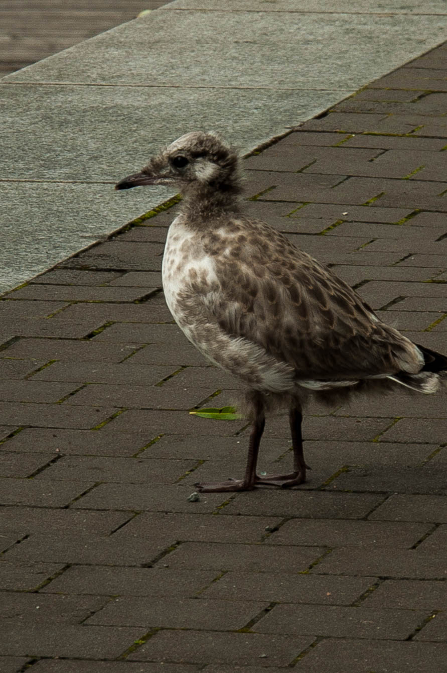
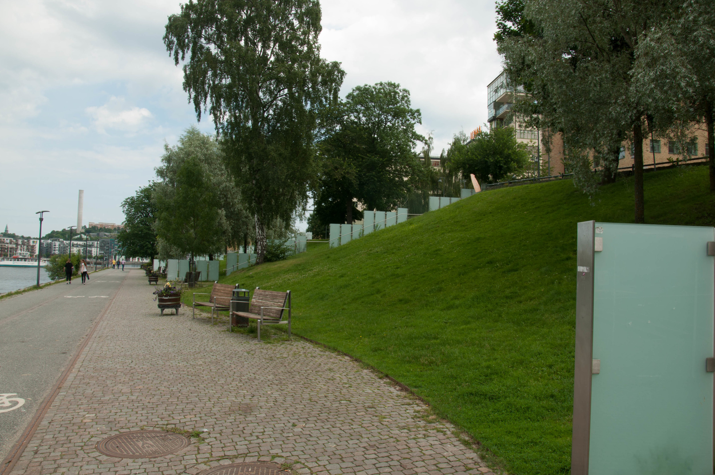
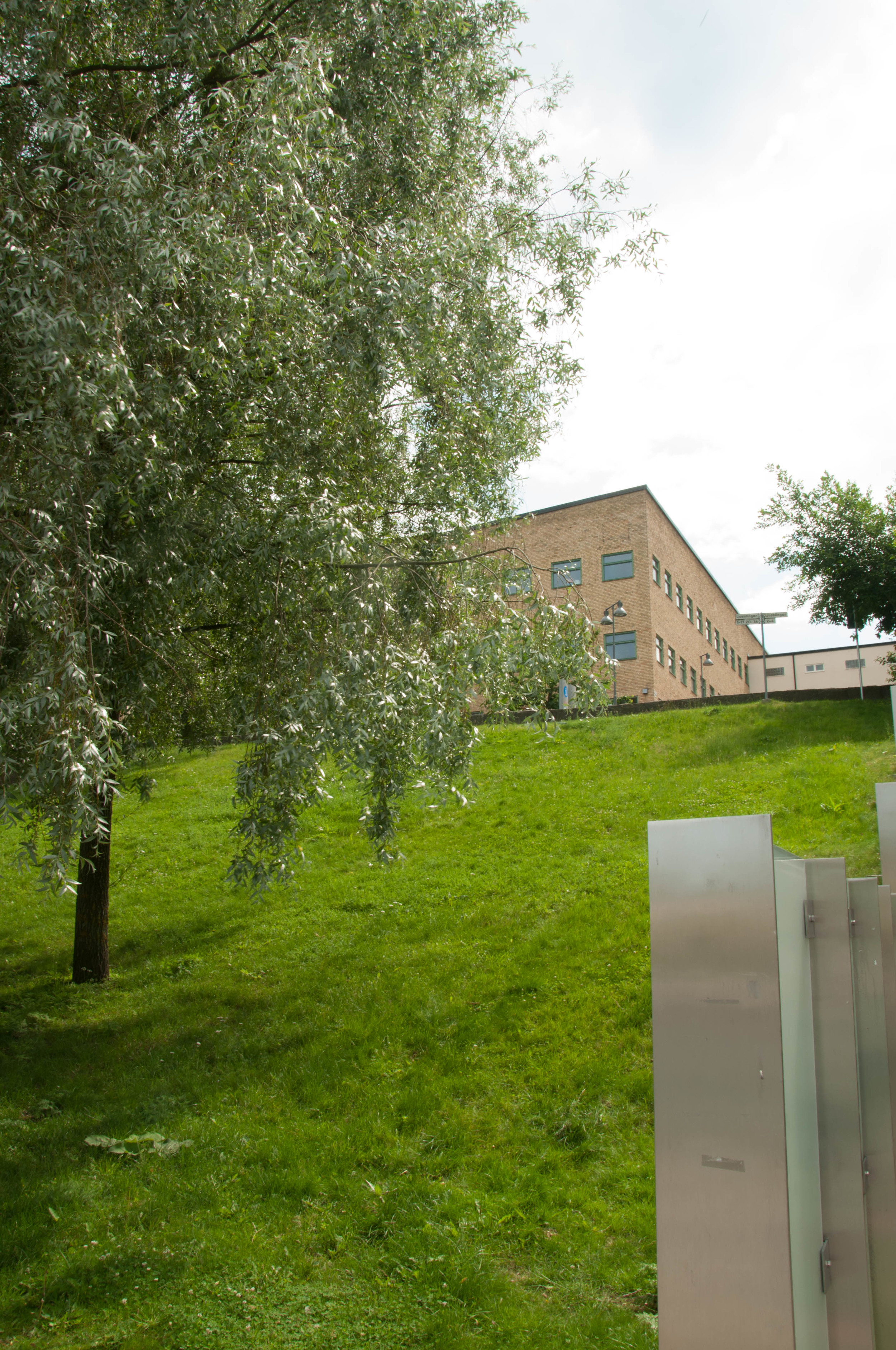
Geographically, Denmark comprises the Jutland Peninsula and an archipelago of some 443 islands located between Germany, Sweden, and the North and Baltic Seas in Europe. At roughly 43,000 square kilometers, Denmark is roughly the same size as New Mexico. One is never far from the sea in Denmark; which just makes me happy, as I love the sea! Though topographically challenged, Denmark does not lack variation—the country is full of sandy coasts, rolling plains, arable land, and some forests. With temperate seasonal climatic changes, the aqua and terra of Denmark is home to a broad range of flora and fauna—including deer, hedgehogs, blue whales, cod, and herring. But, this location also makes for a cool and damp climate with (as the photos will show) changeable weather by the minute. Therefore, it is no surprise that Copenhagen is a relatively flat city good for walking and cruising by bicycle.

Arrival and Hostel

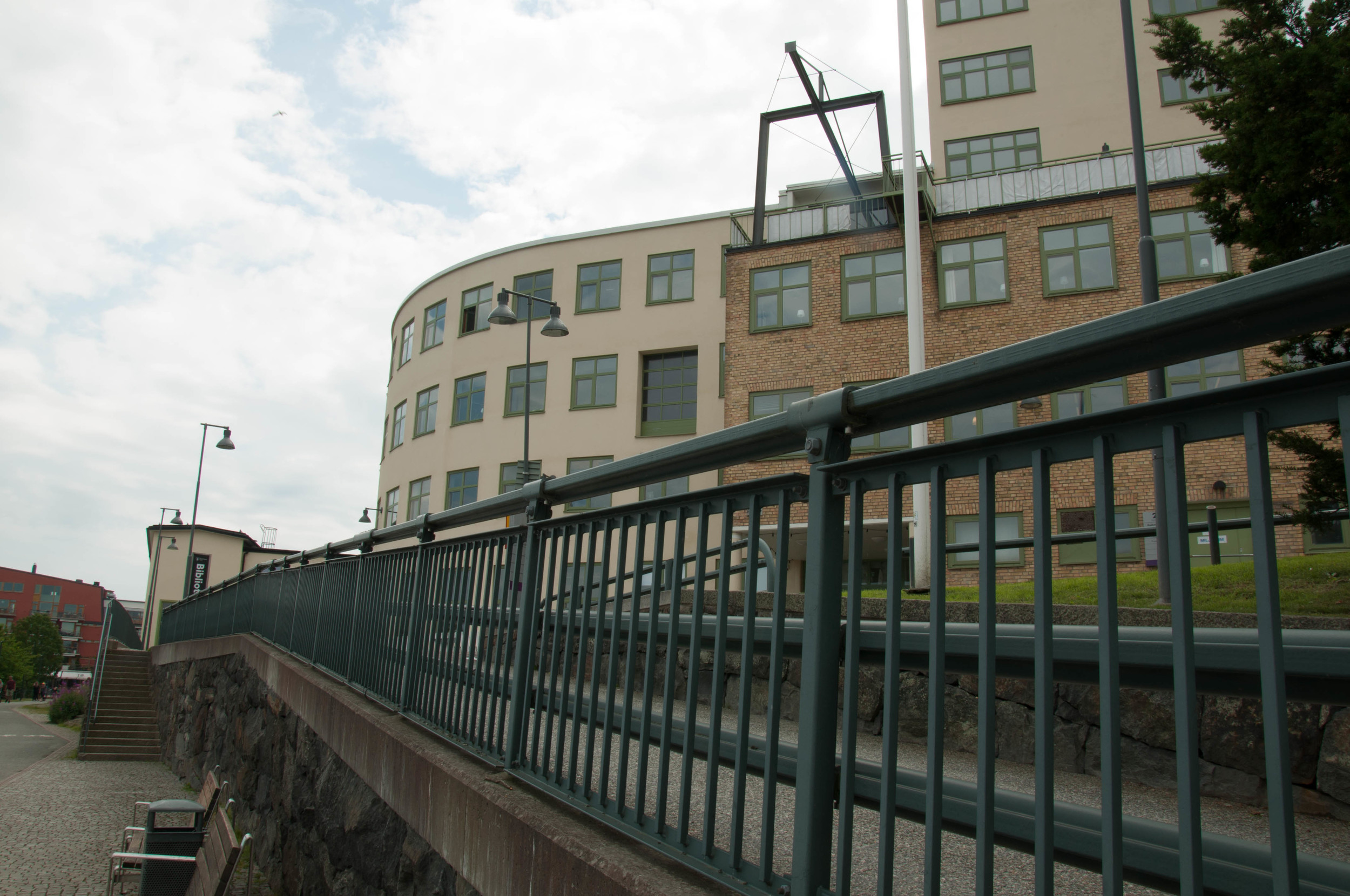
Whenever my time is short in a city, I try to stay as central as is affordable to allow for easy access to transit hubs. As my time is super short in Denmark, I chose to stay in a hostel near Central Station called the Copenhagen Backpackers Hostel. While it is cash only and my room of eight was a little tight, it is clean, the atmosphere jovial, and the multilingual staff friendly and helpful. What more could one traveler ask for than this!
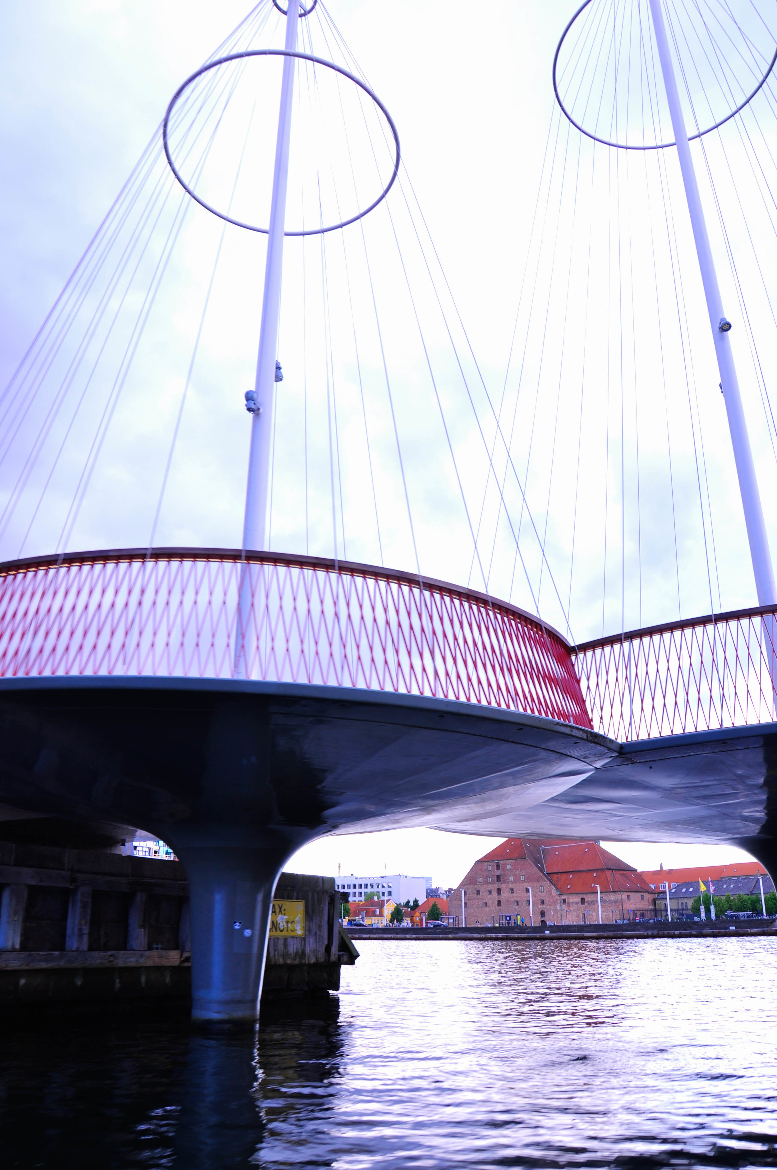
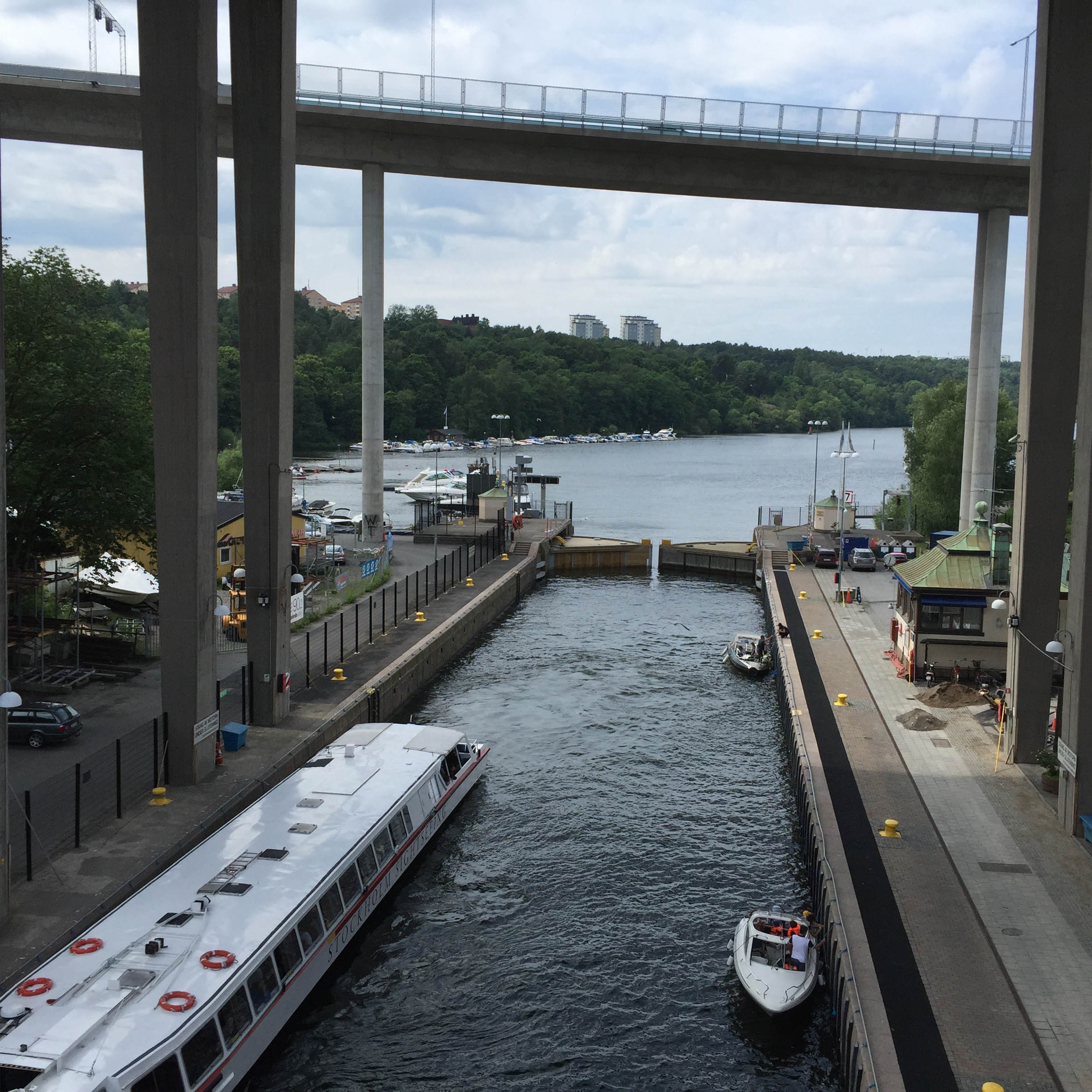
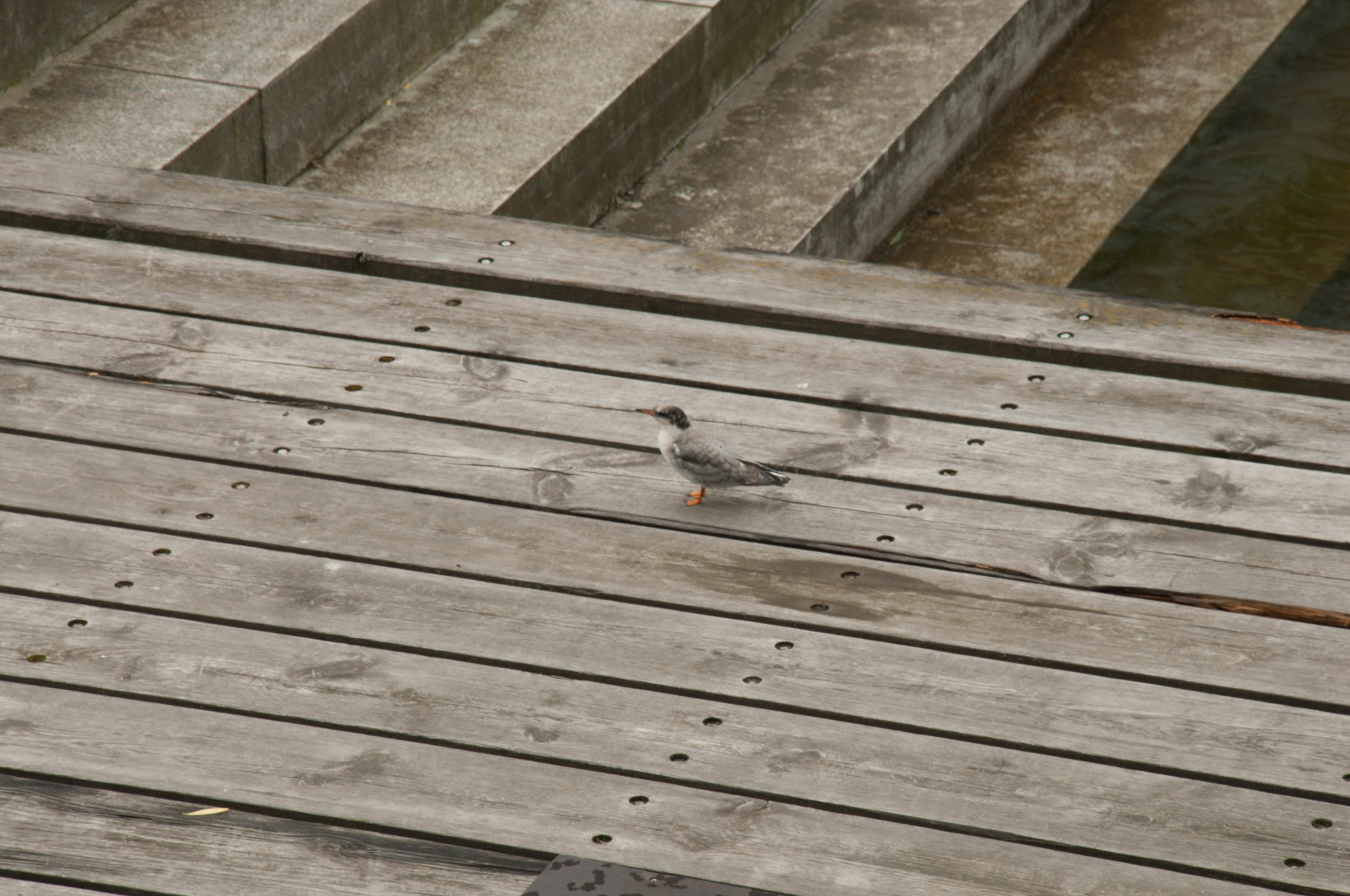
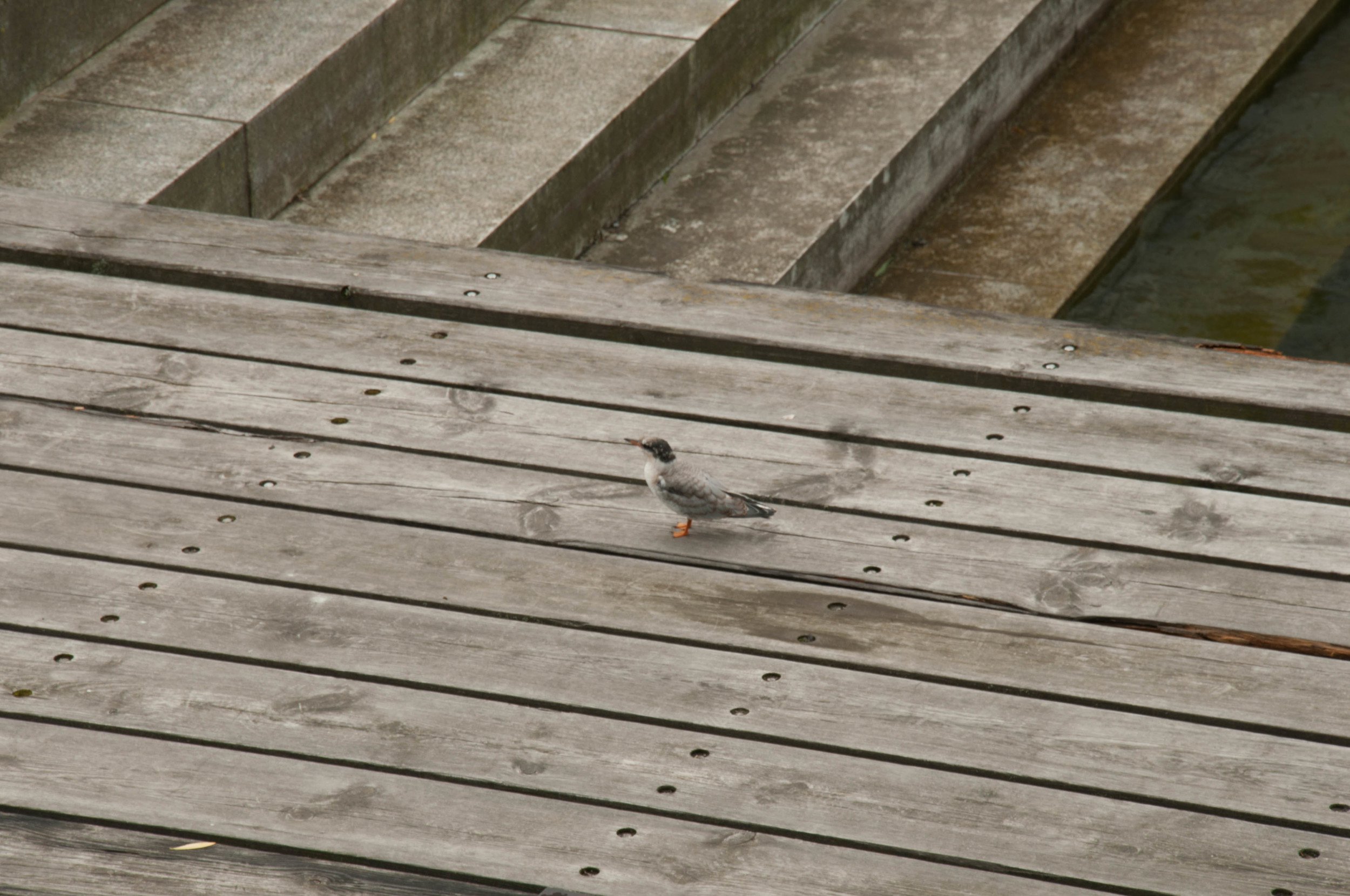
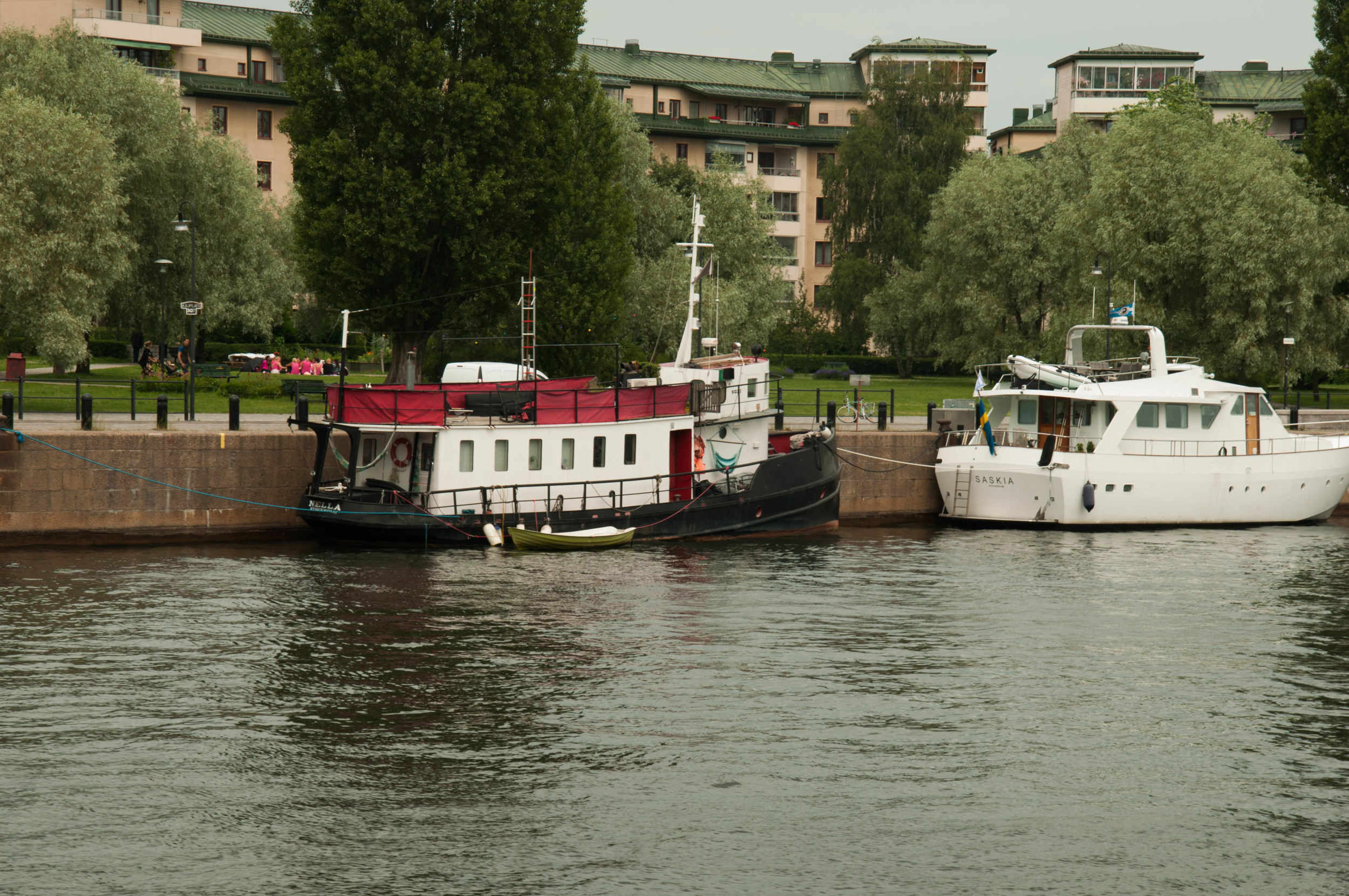
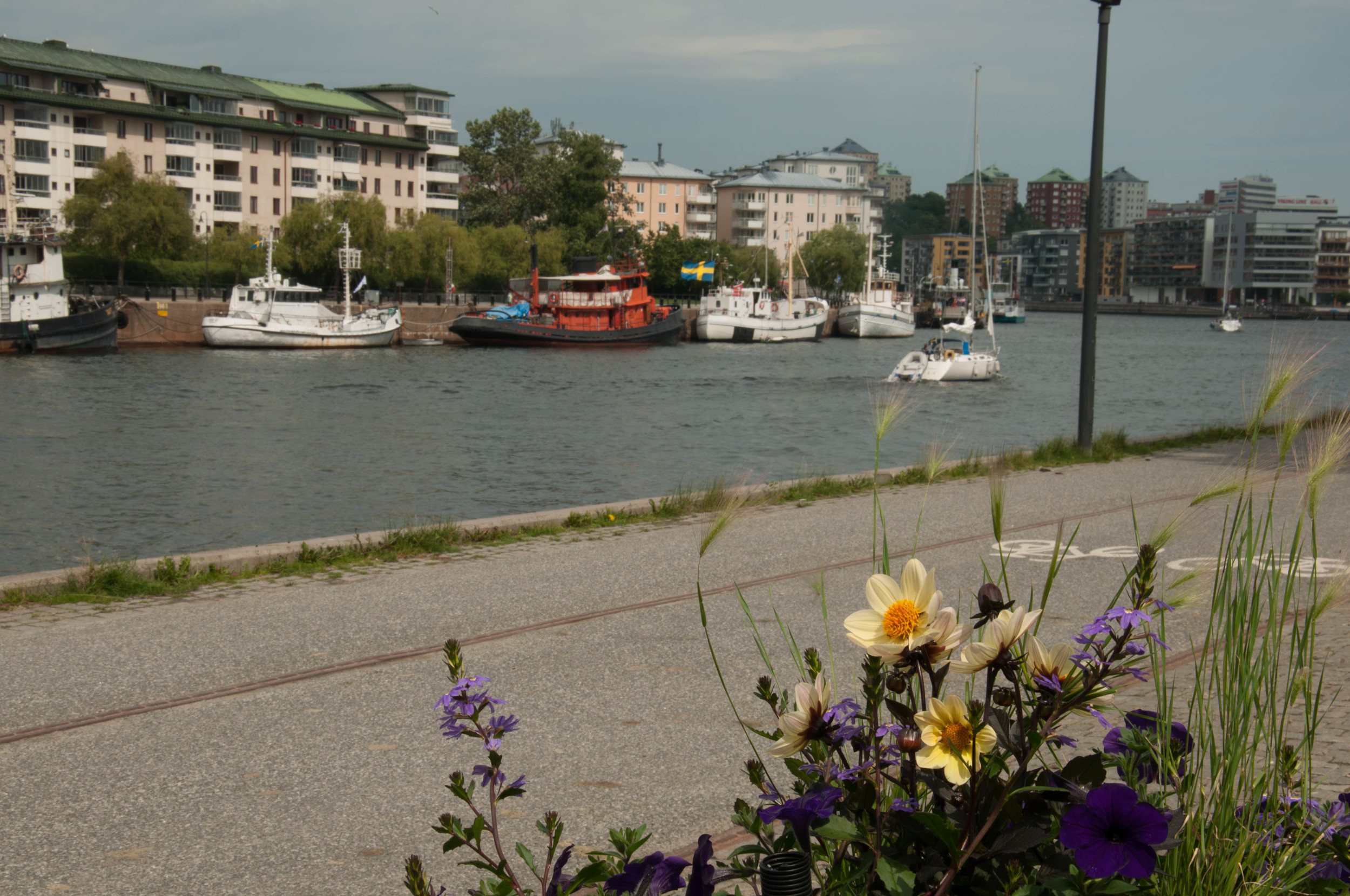
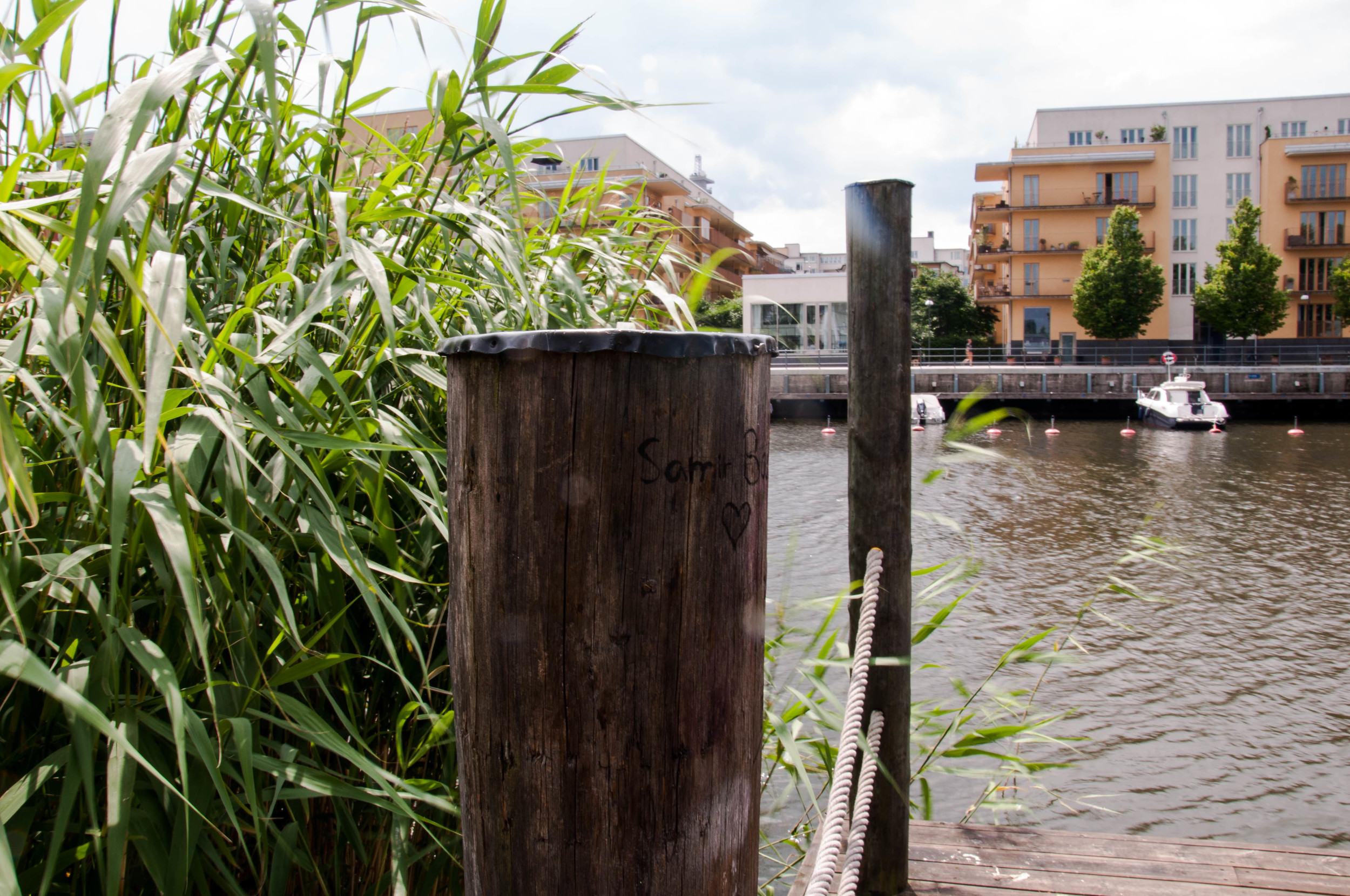
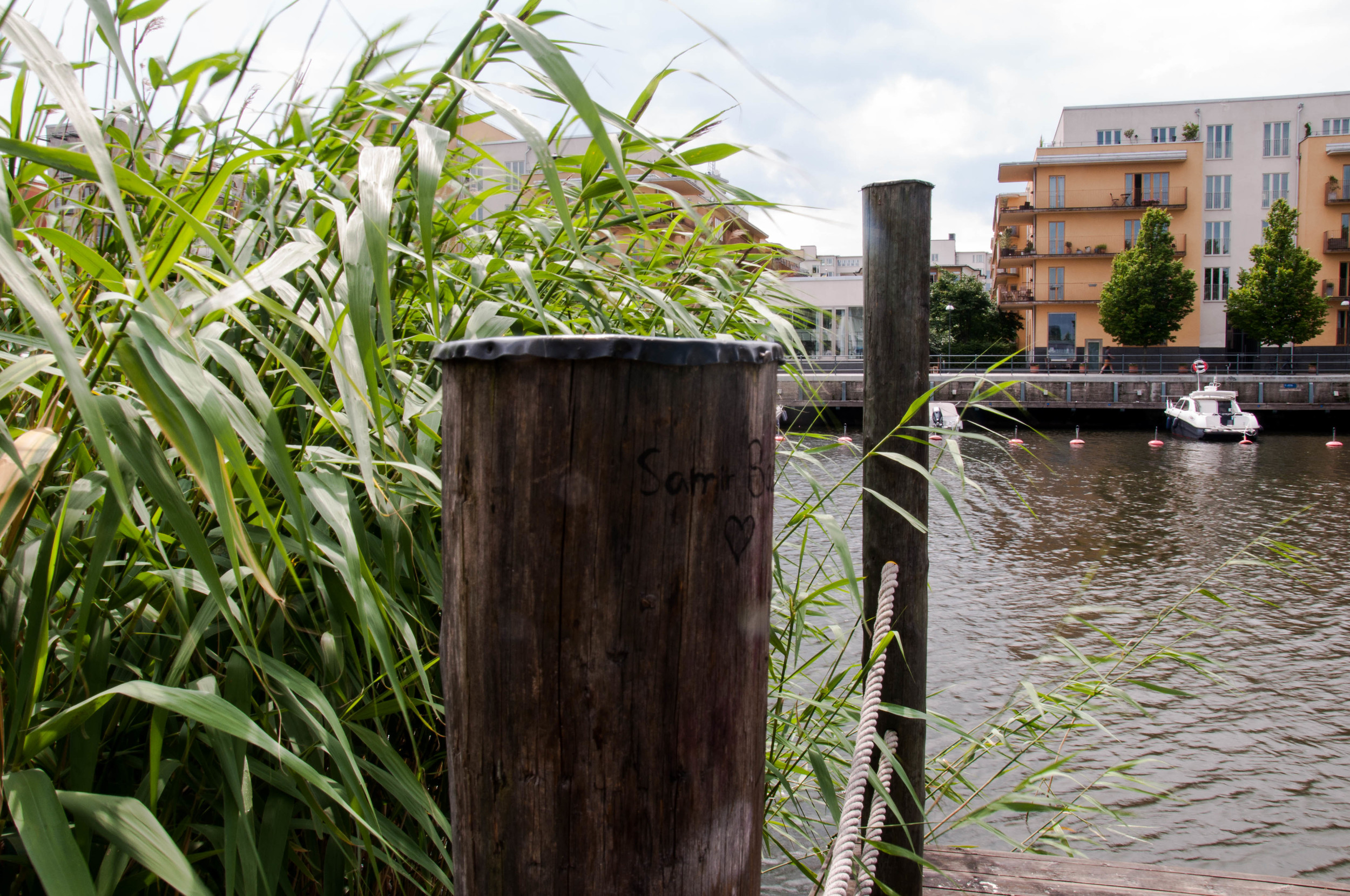
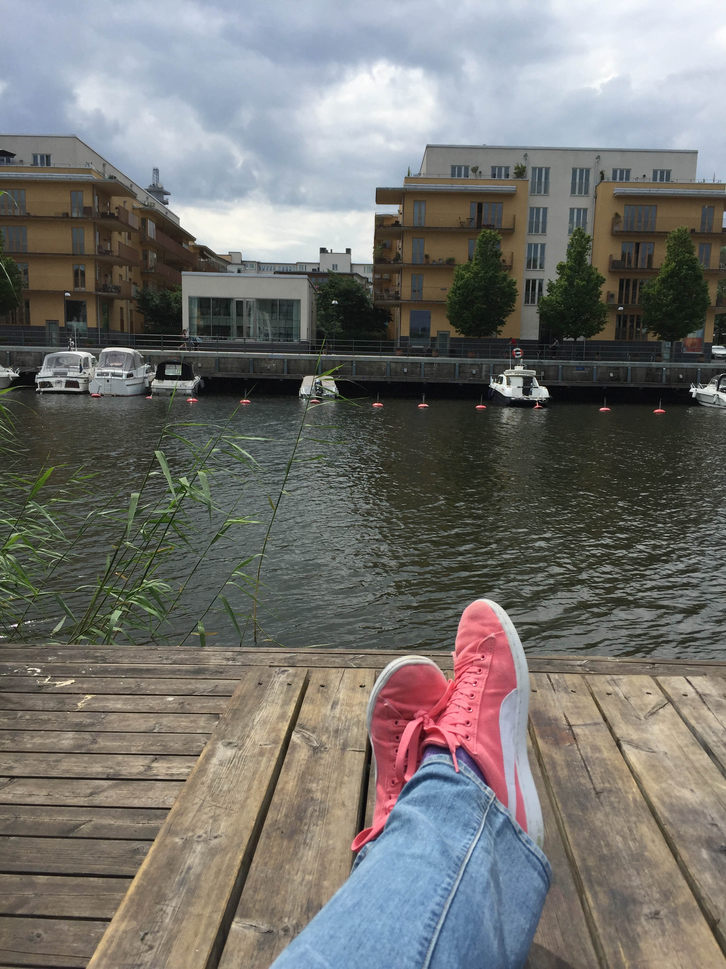
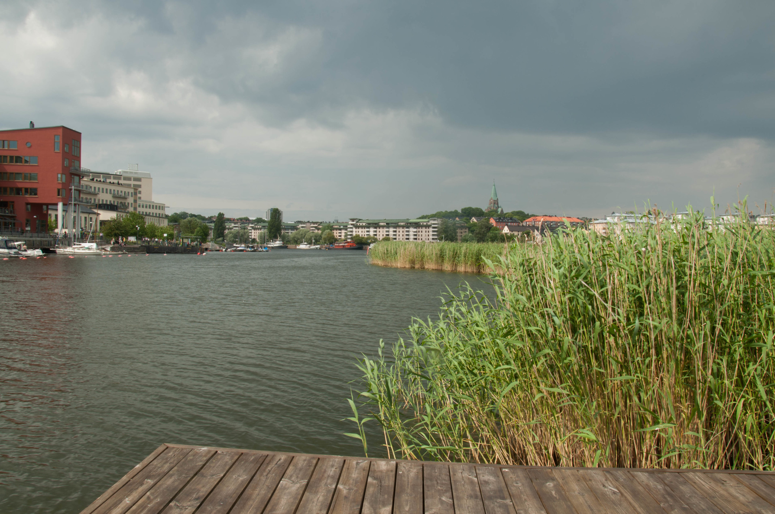
River Tour

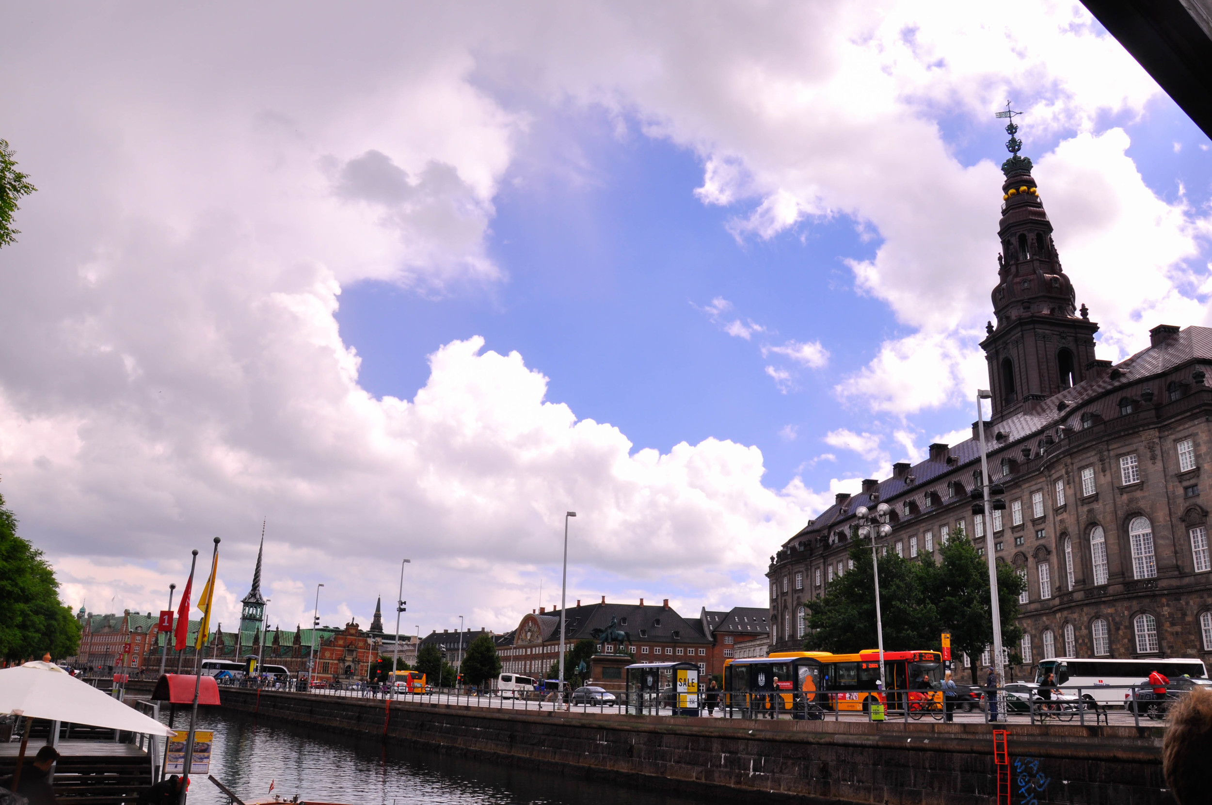
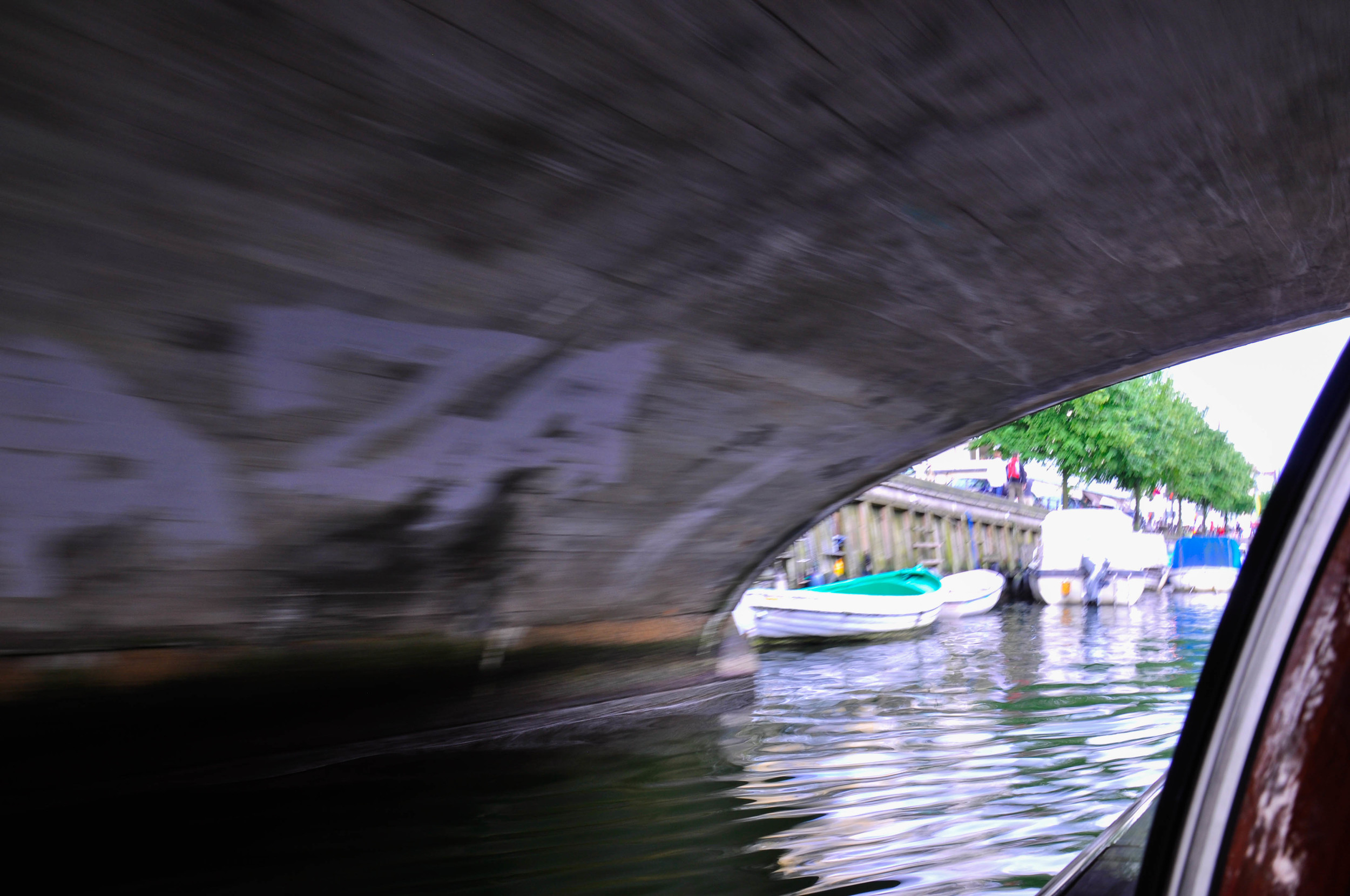
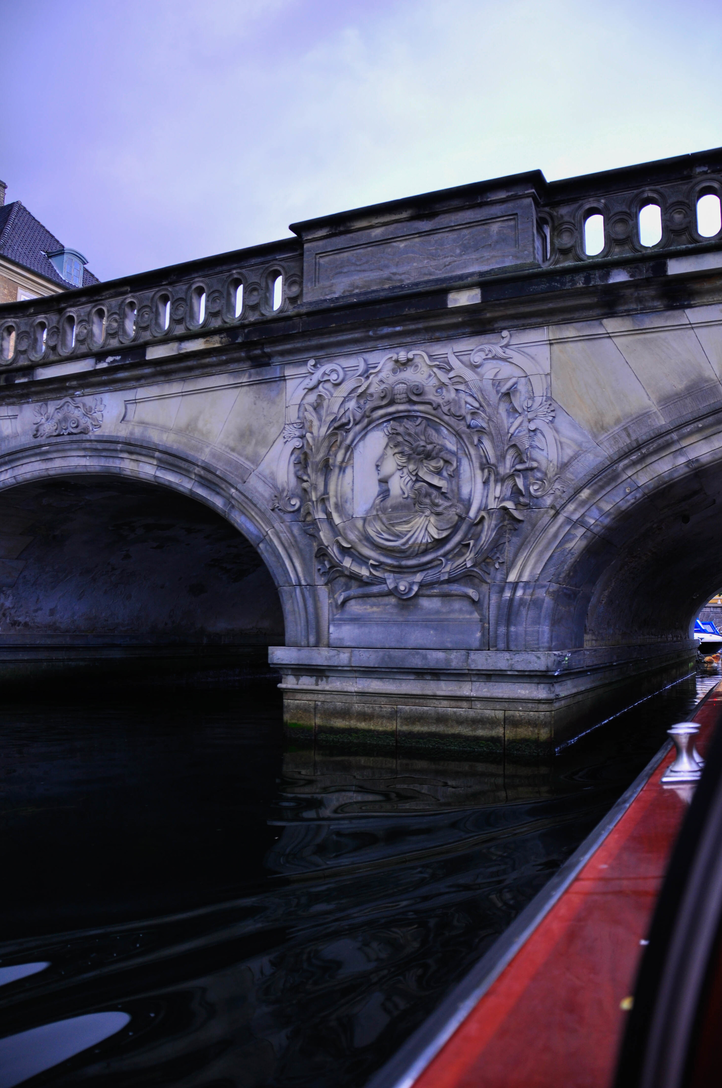
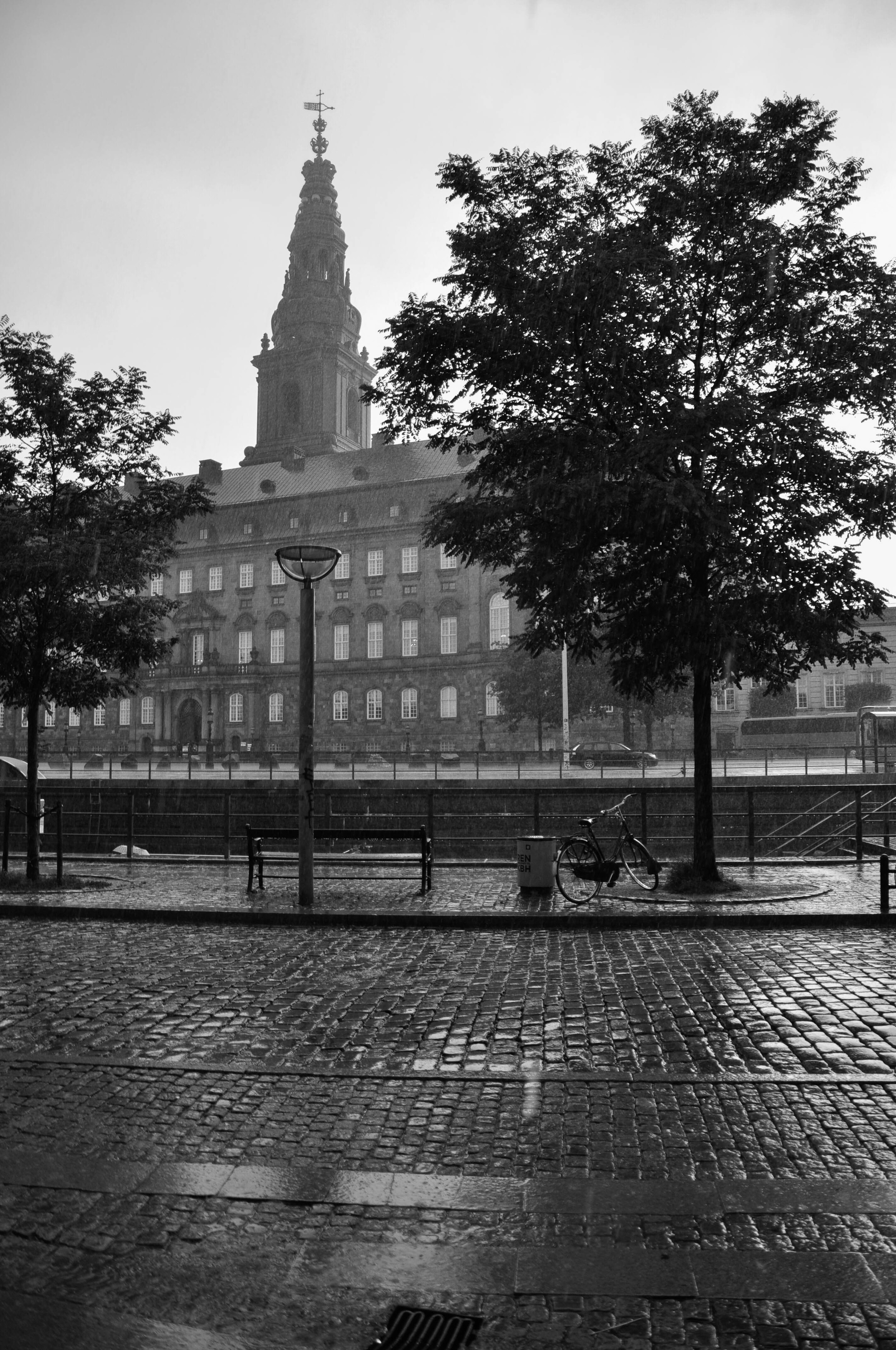
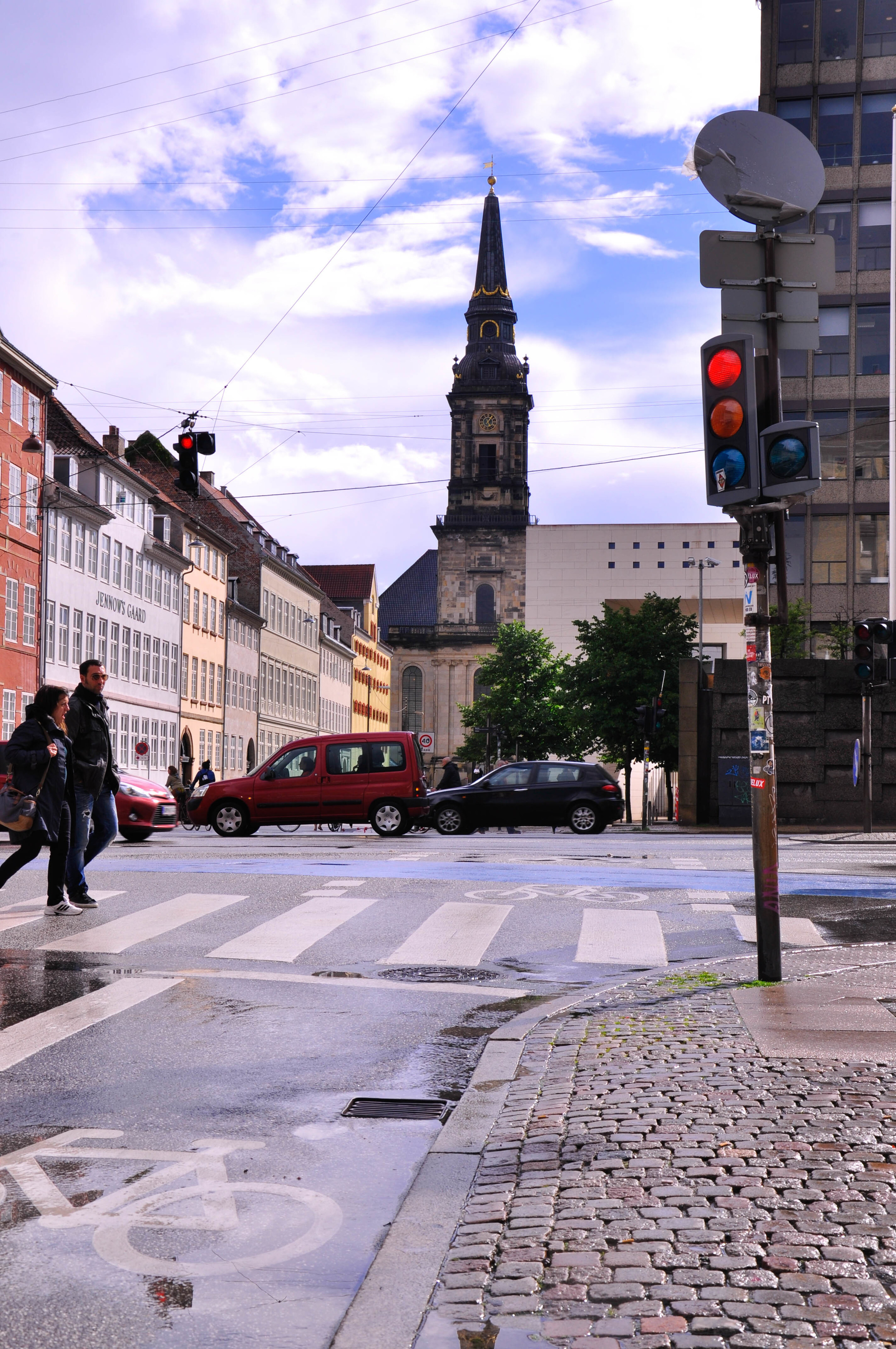
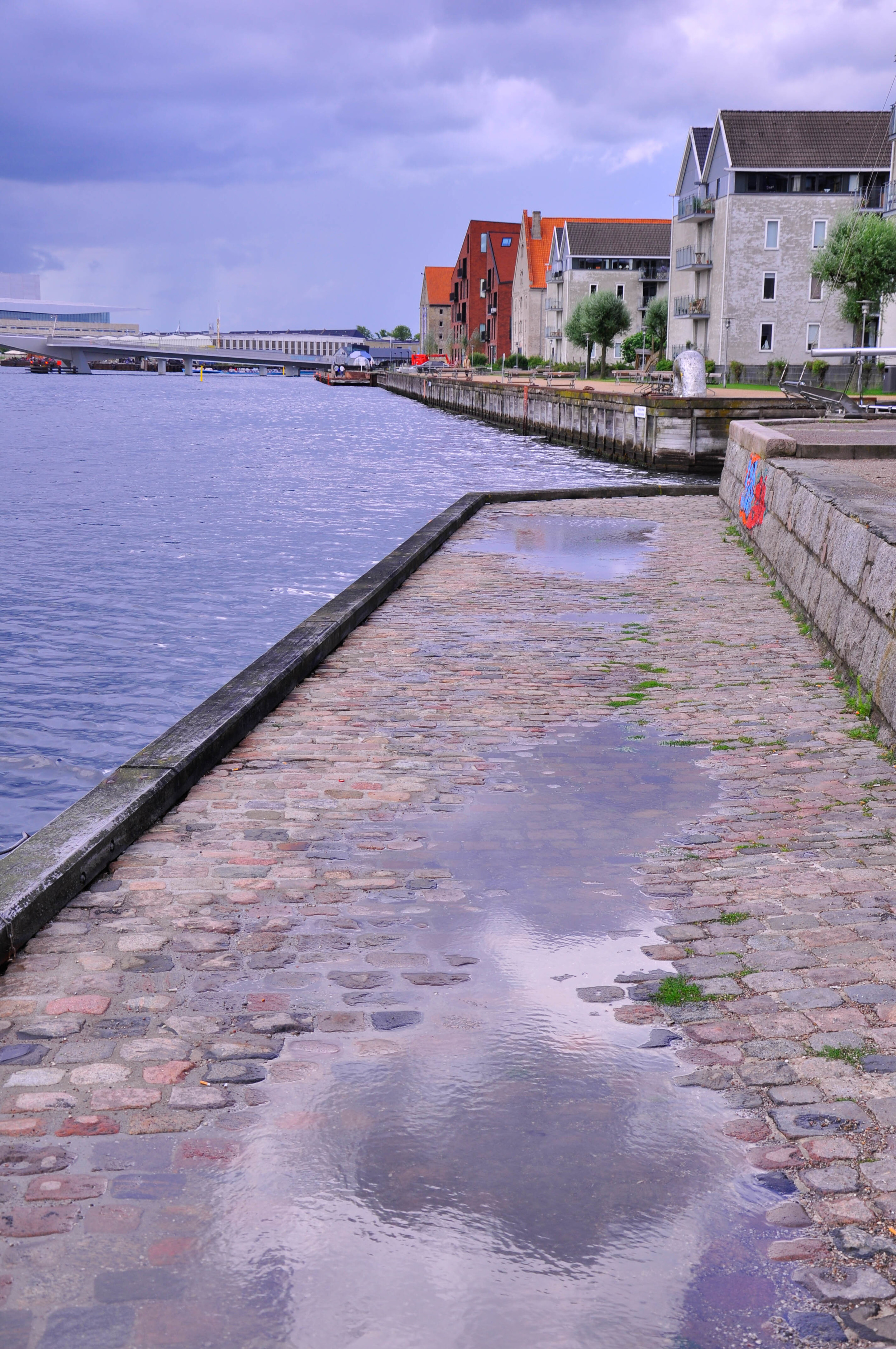
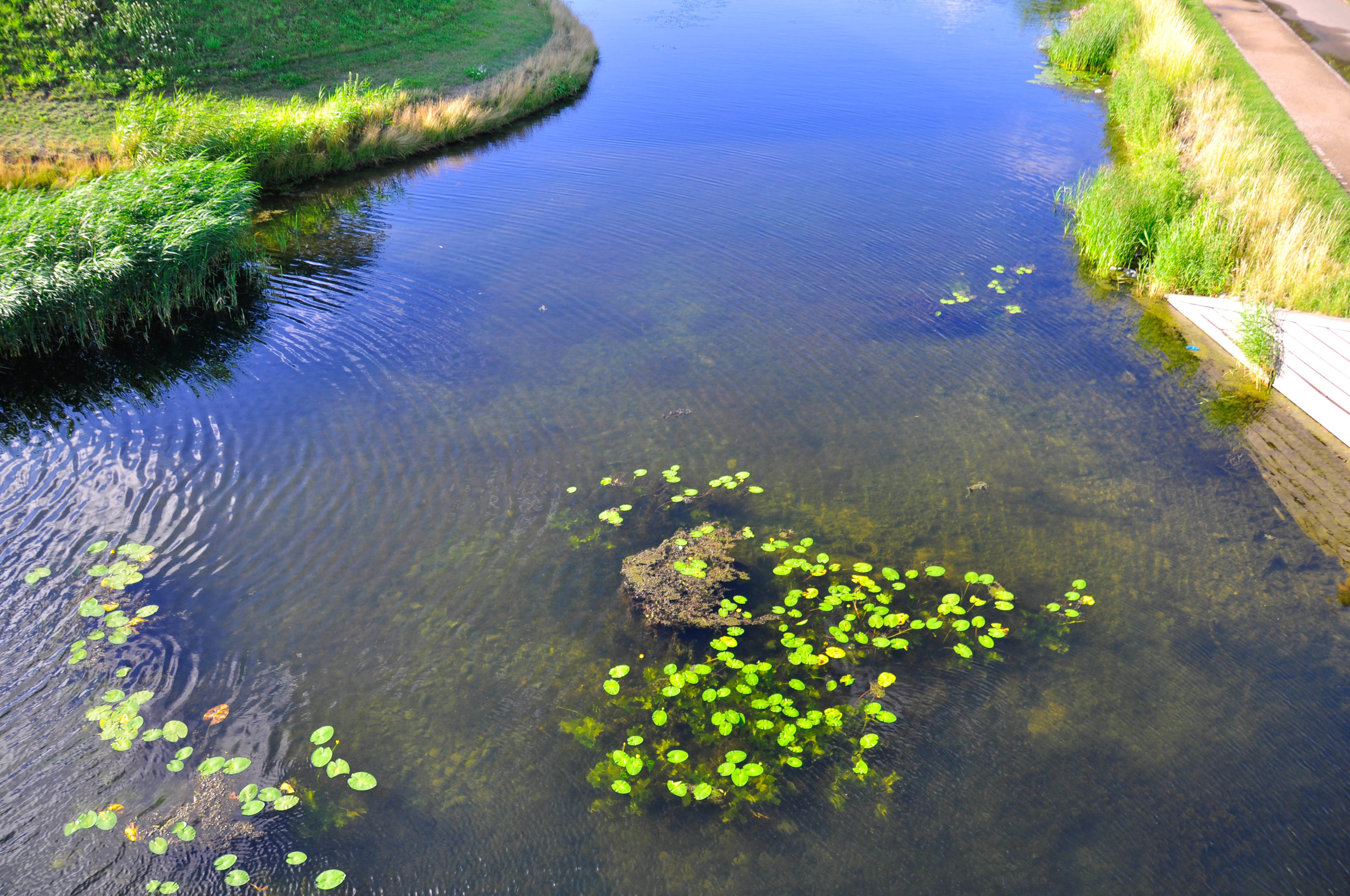
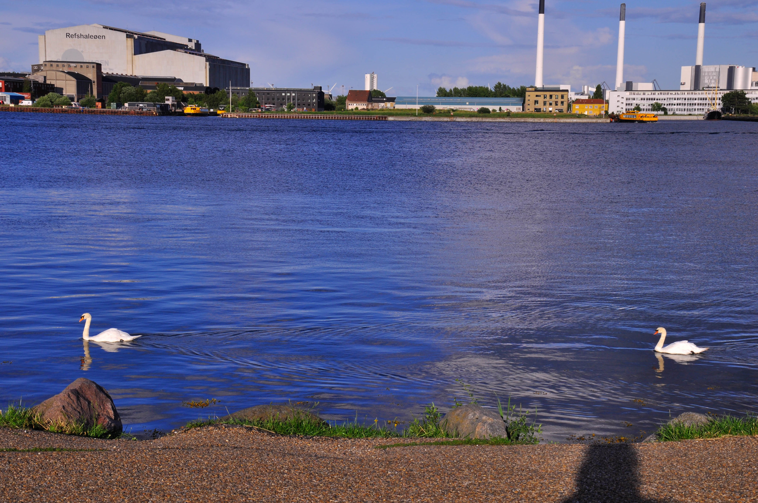
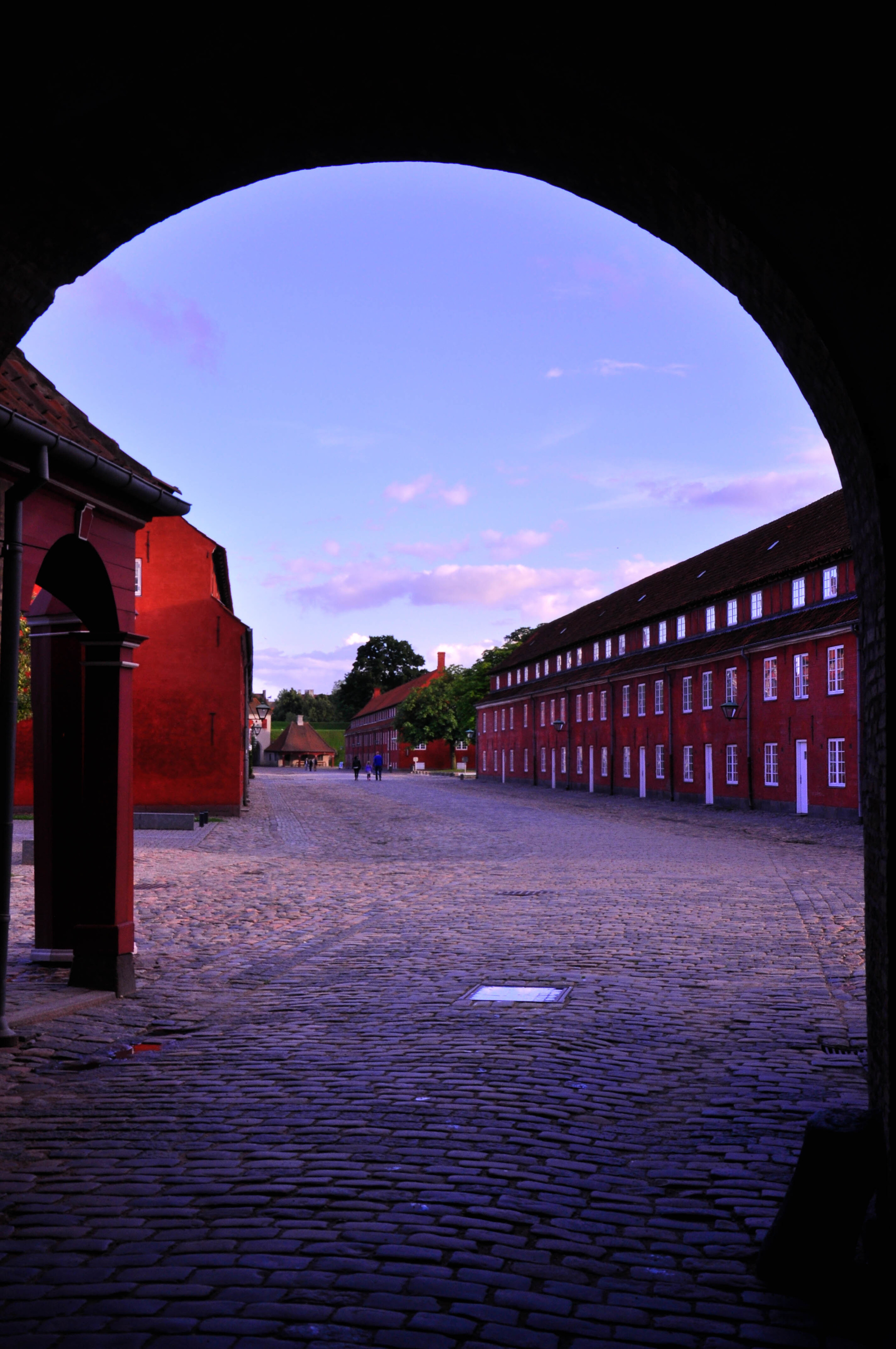
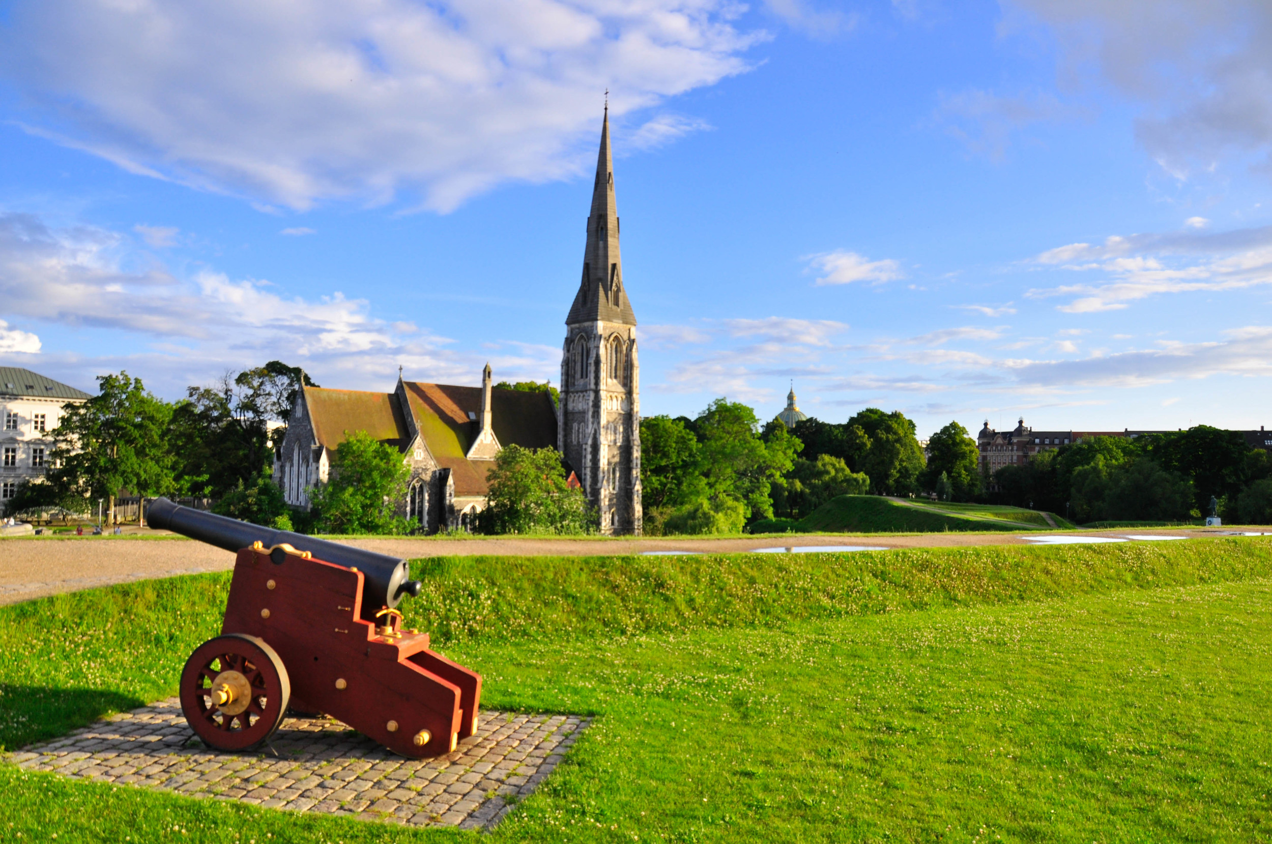
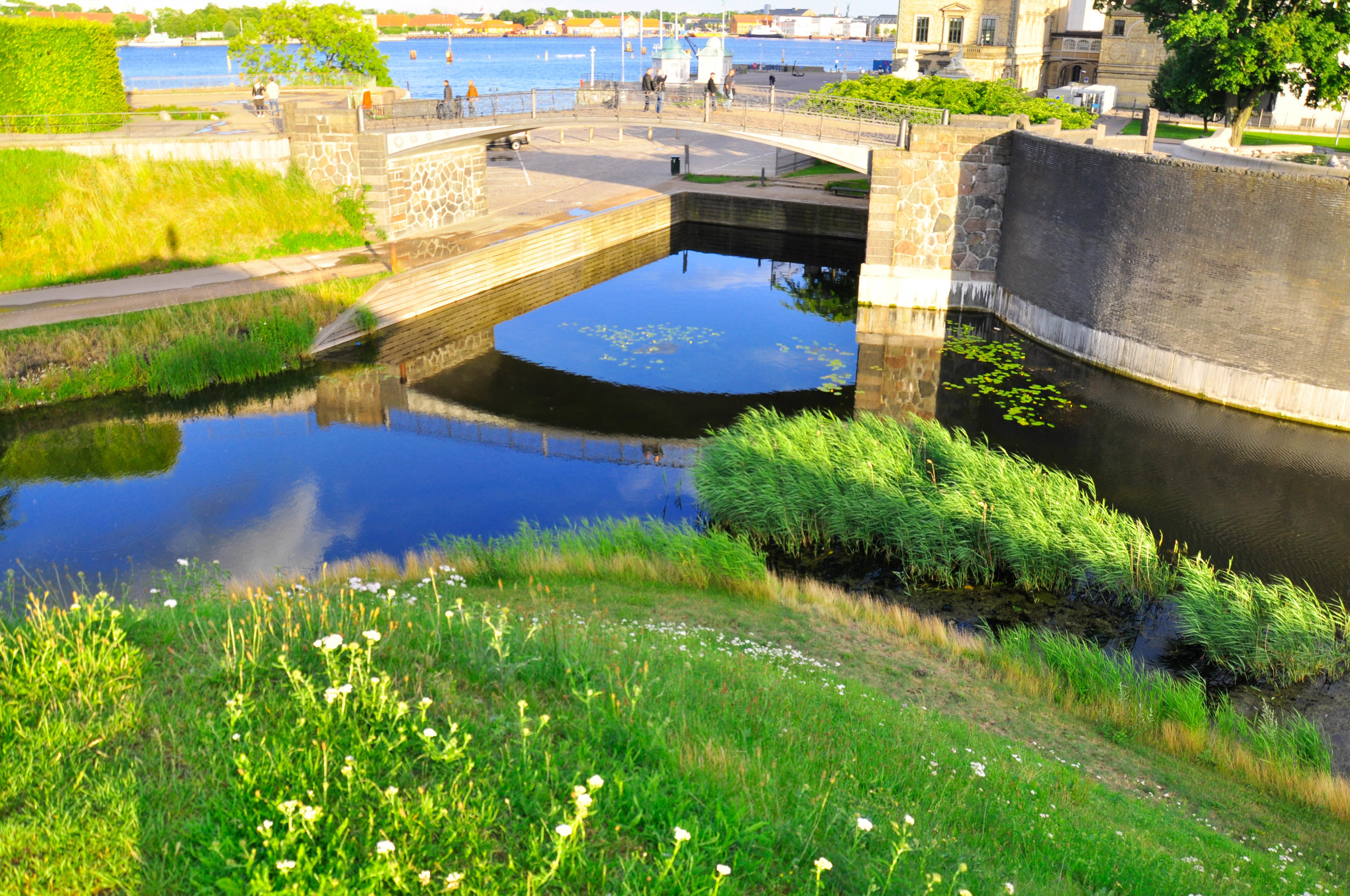
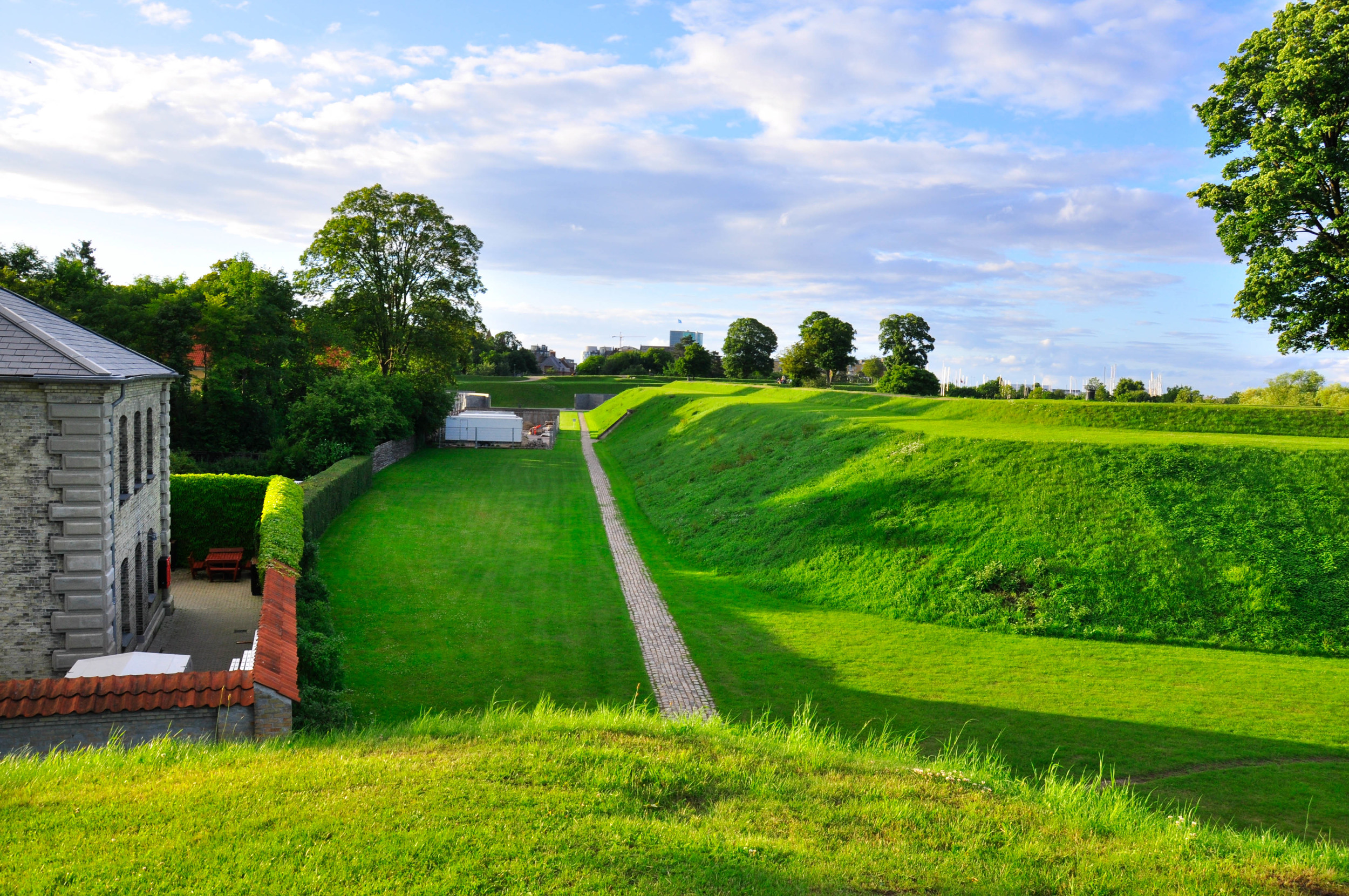
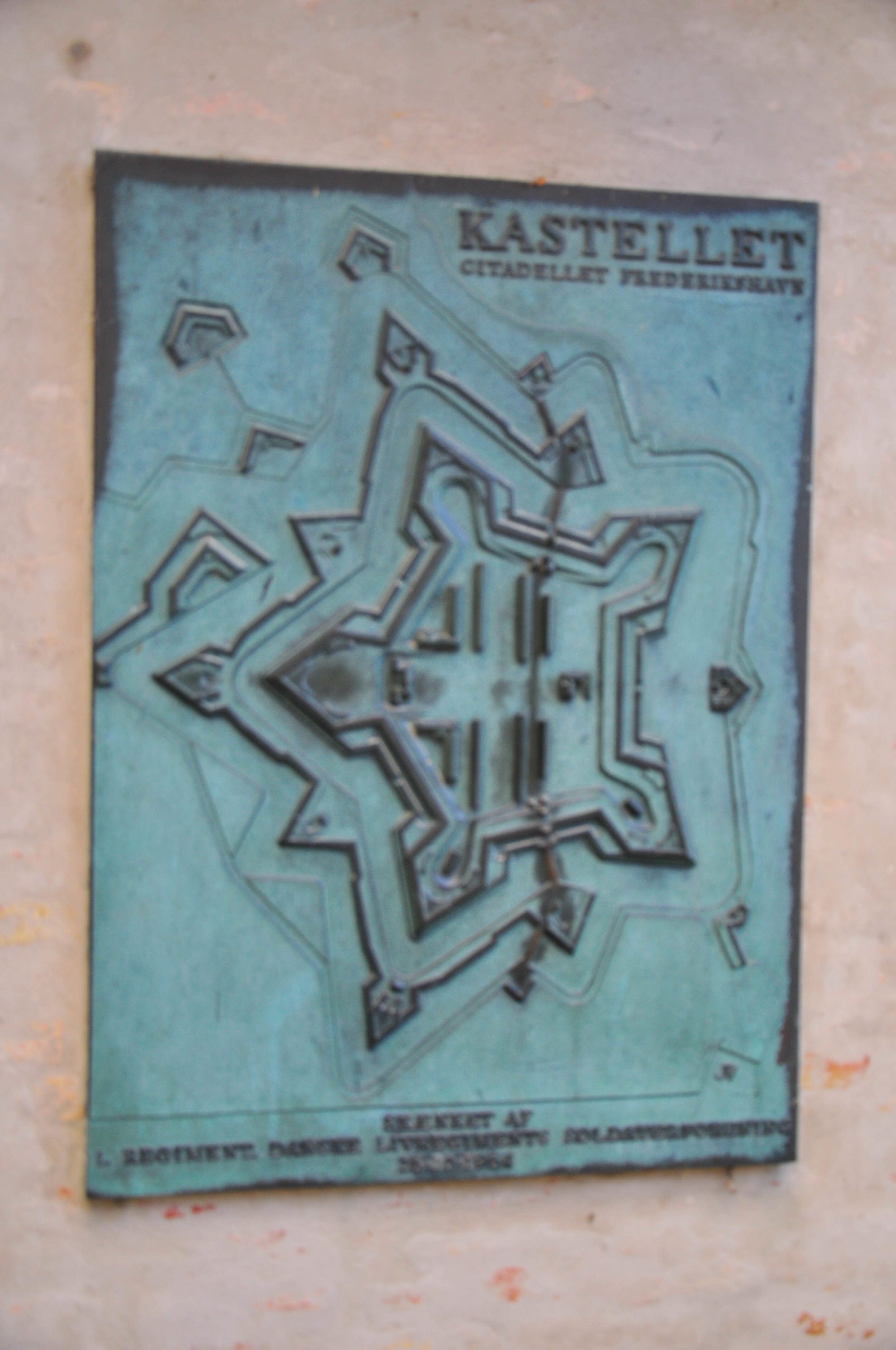
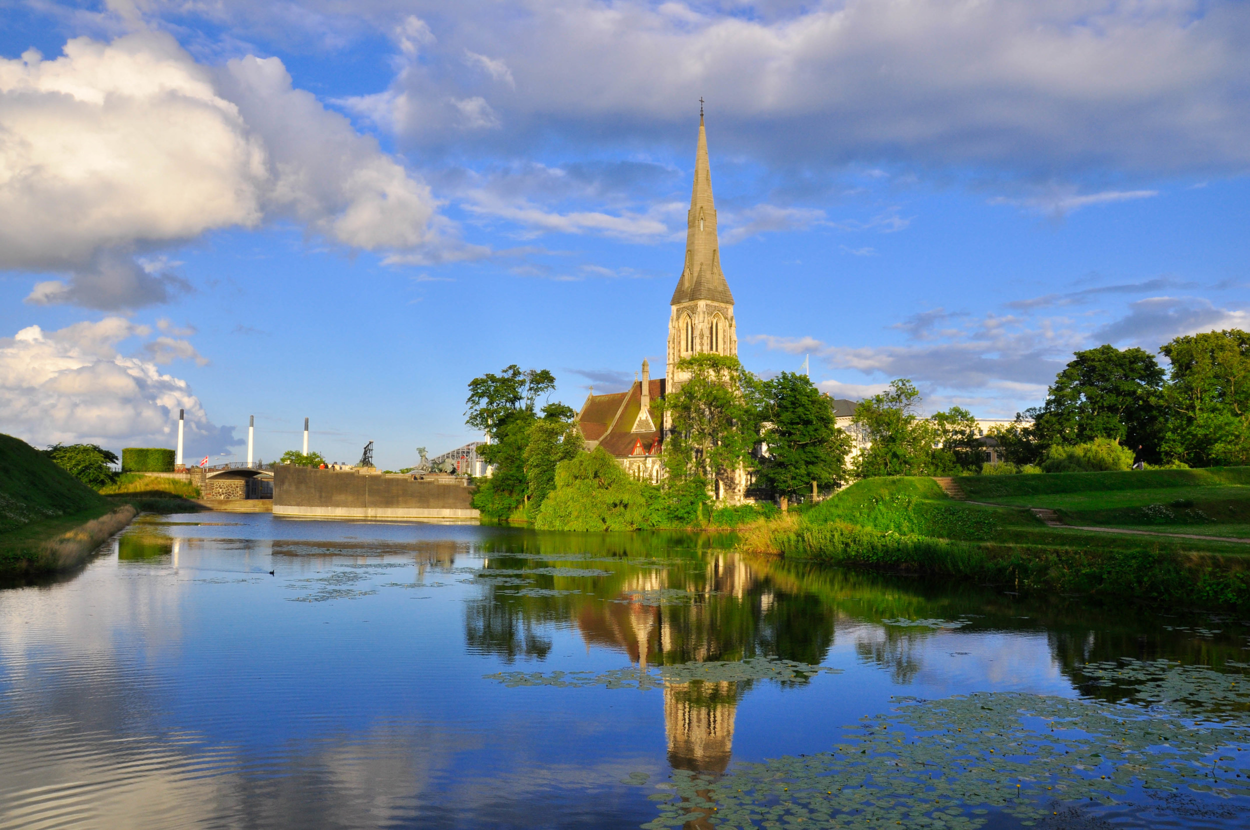
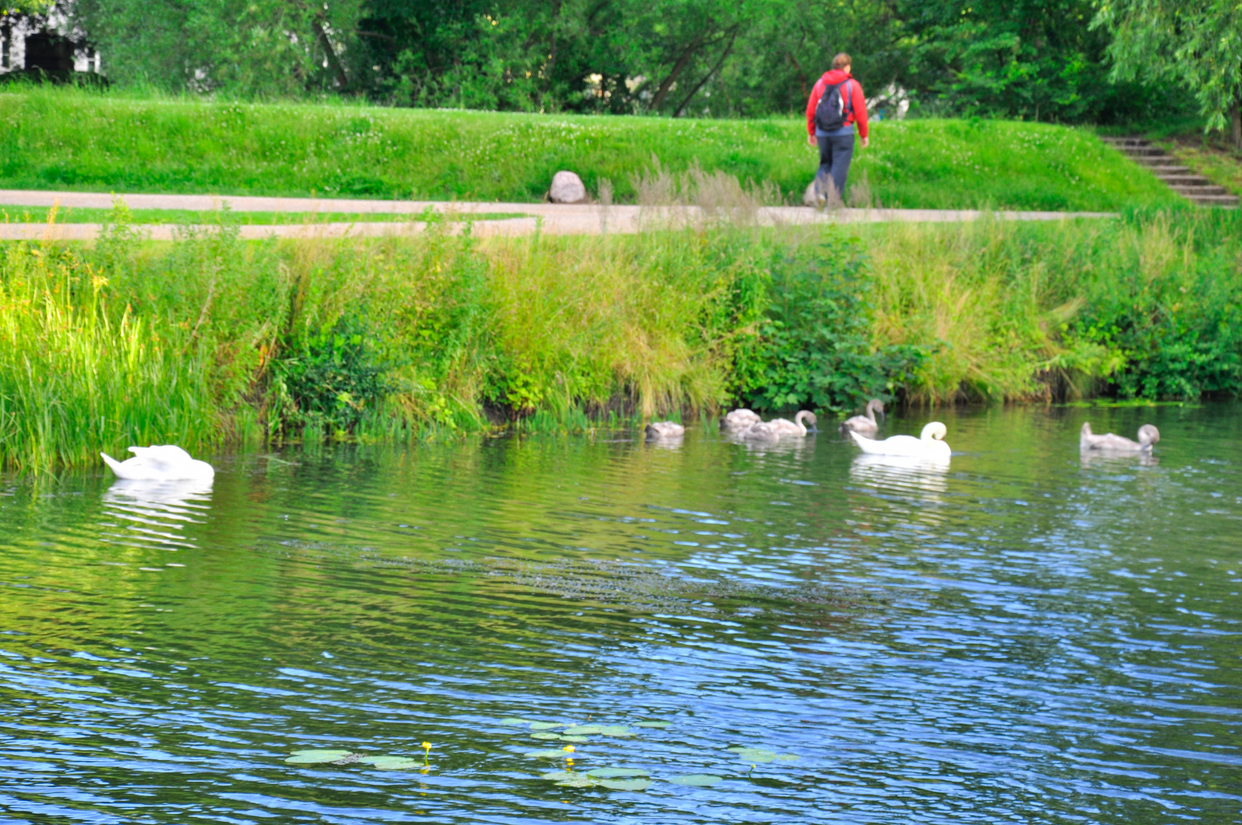
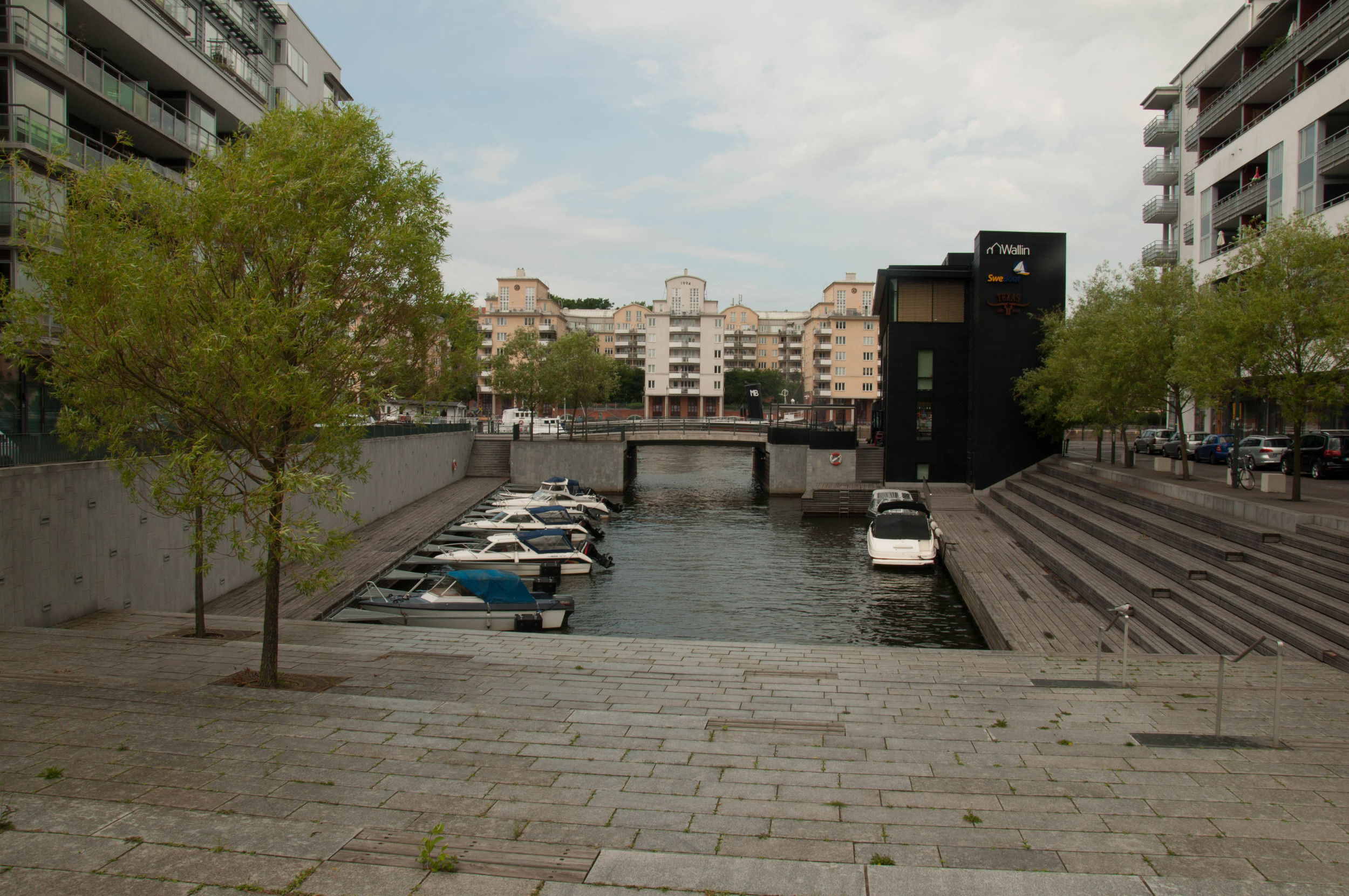
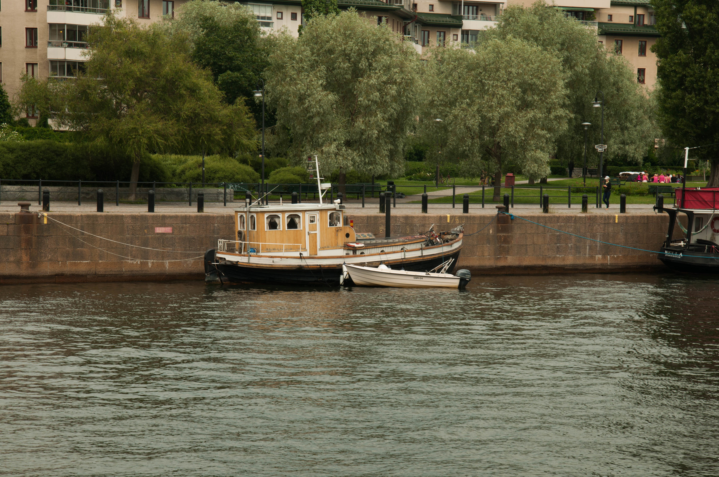
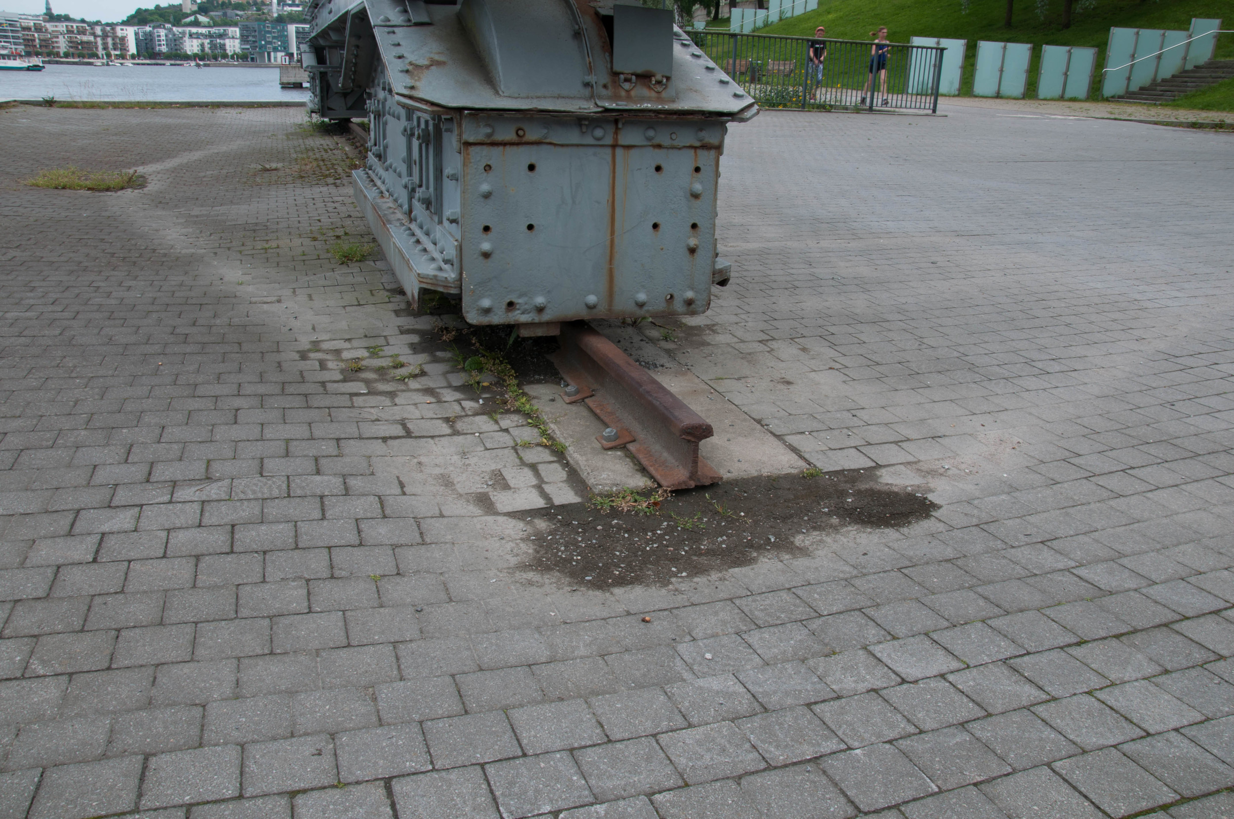
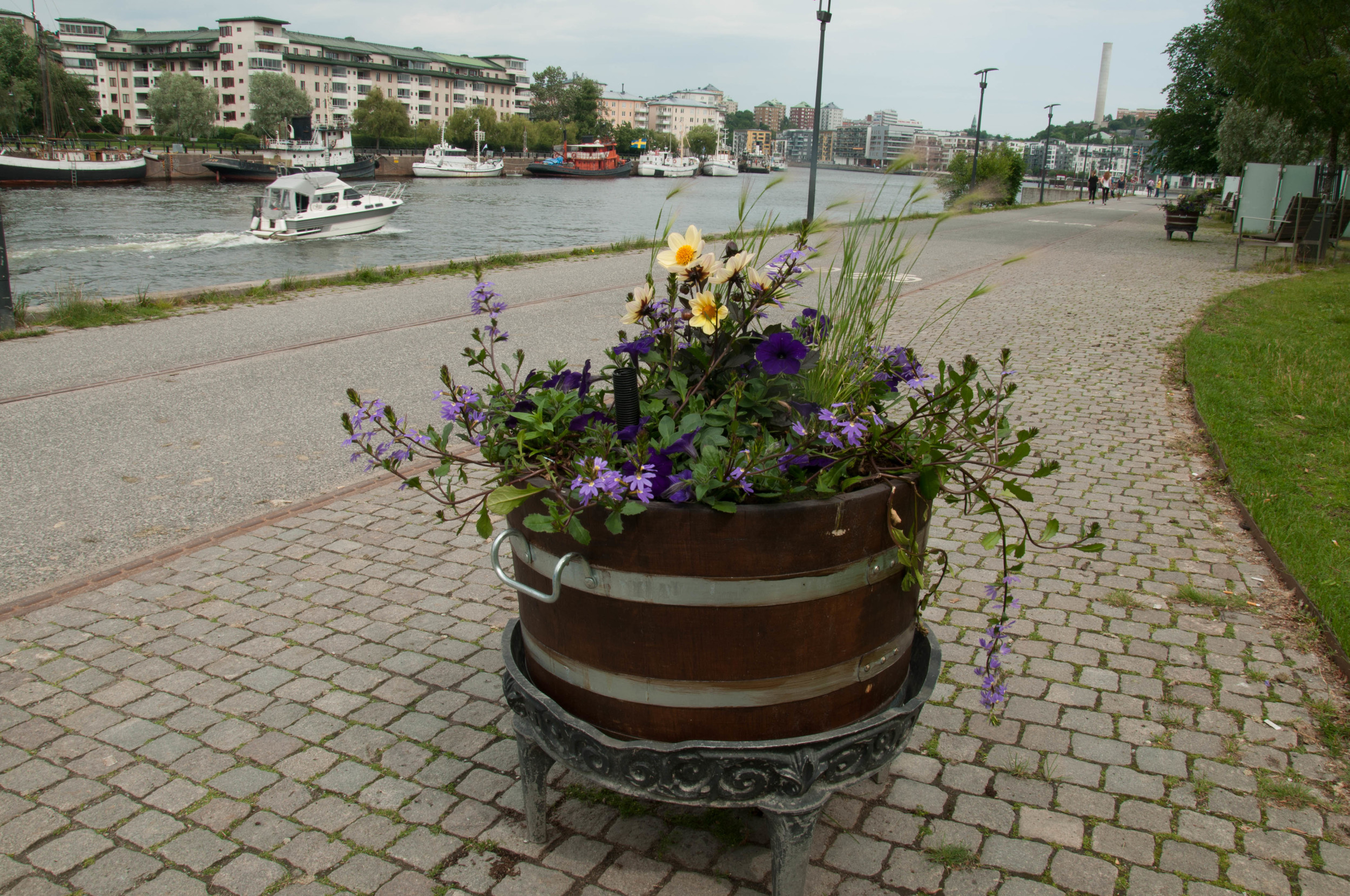
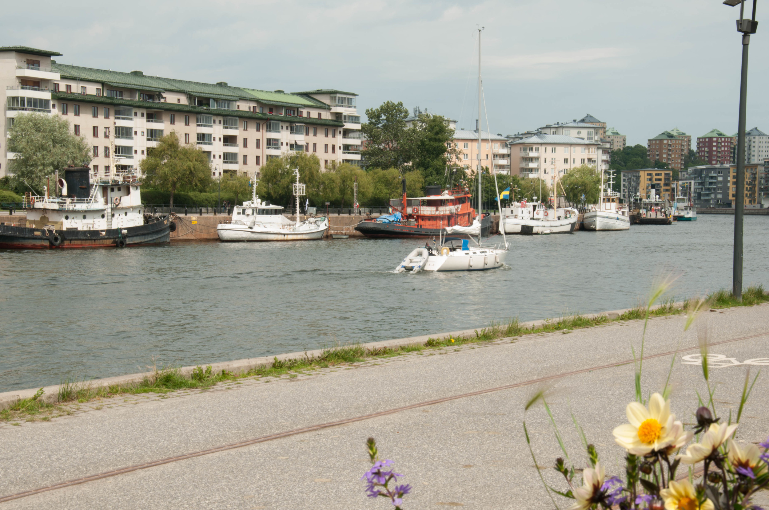
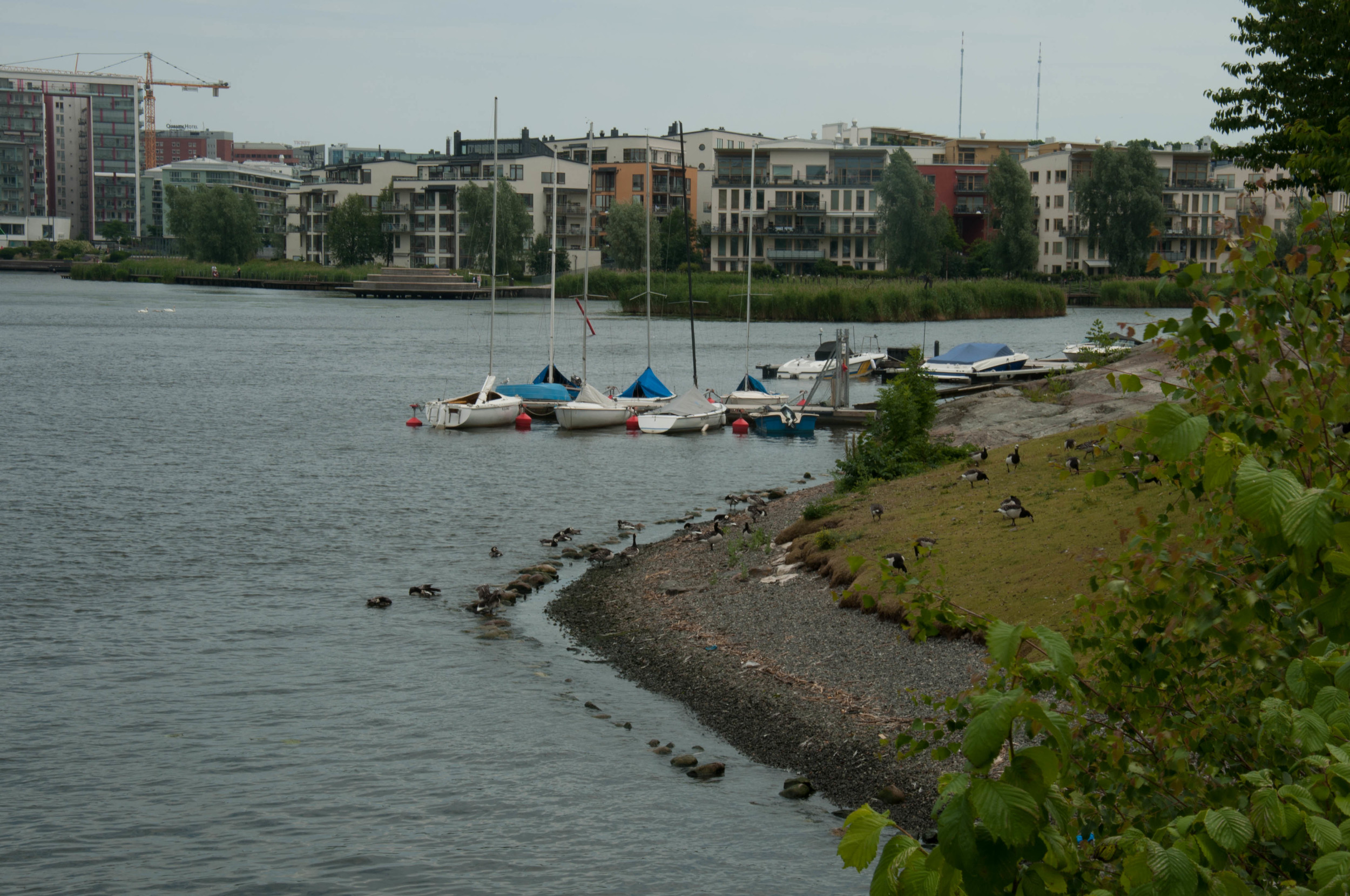
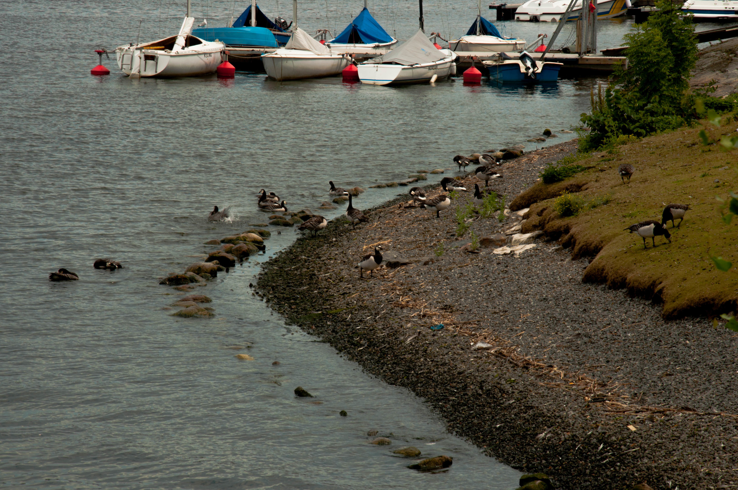
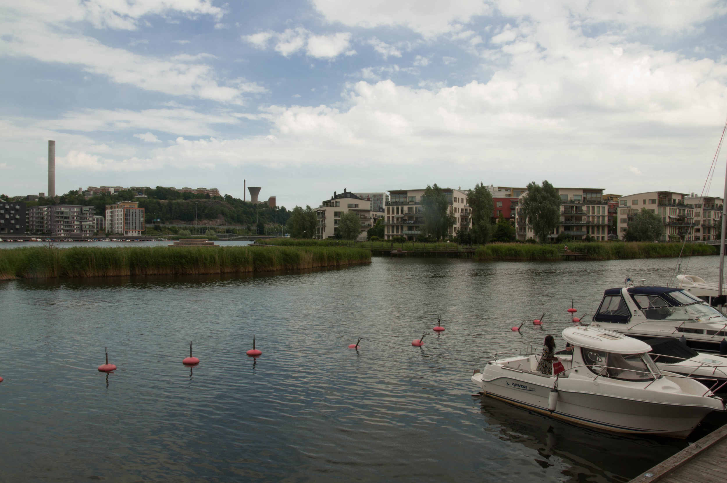
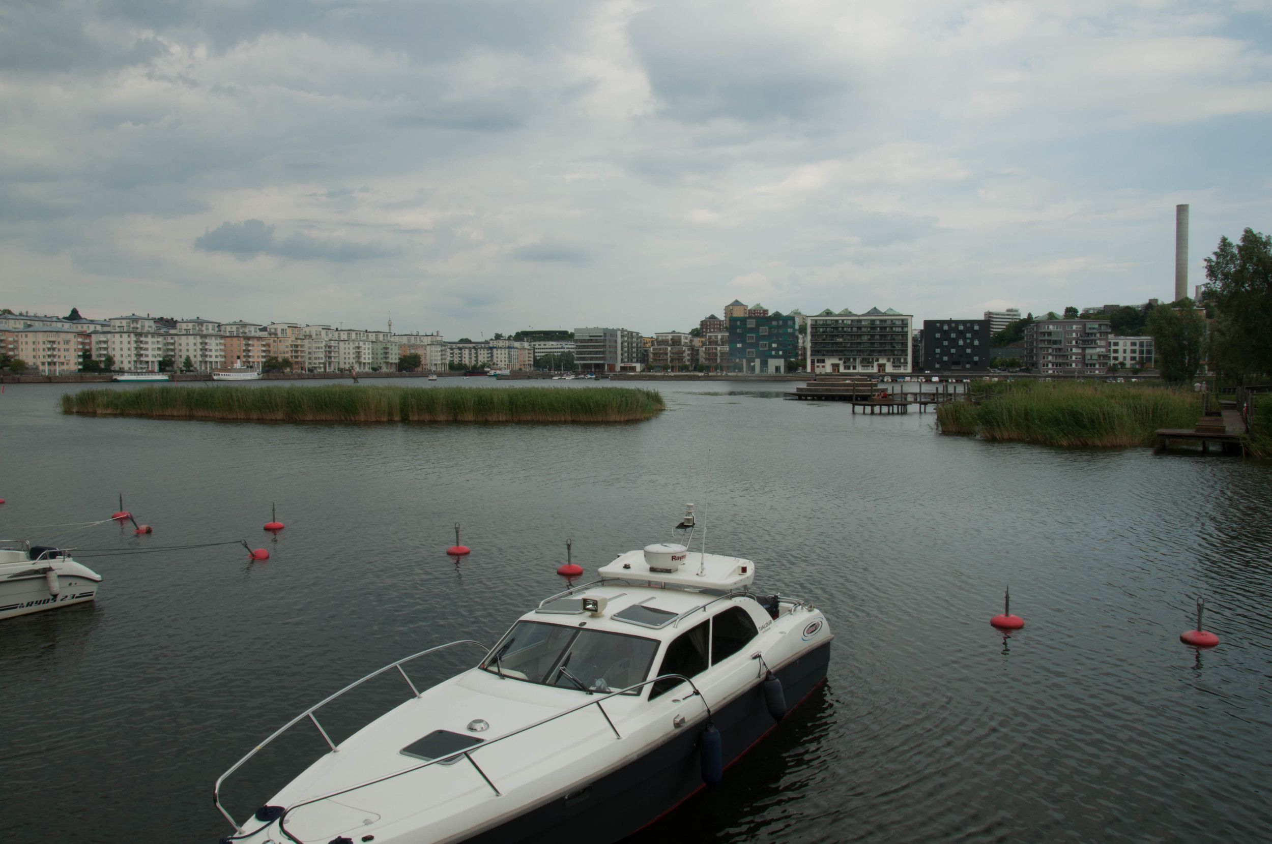
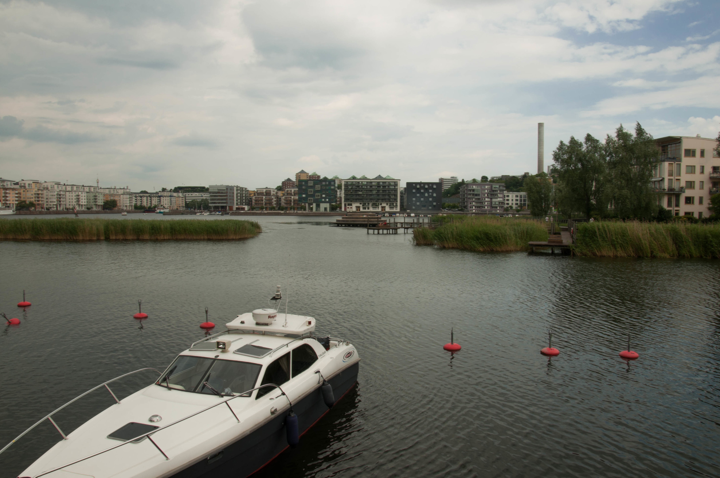
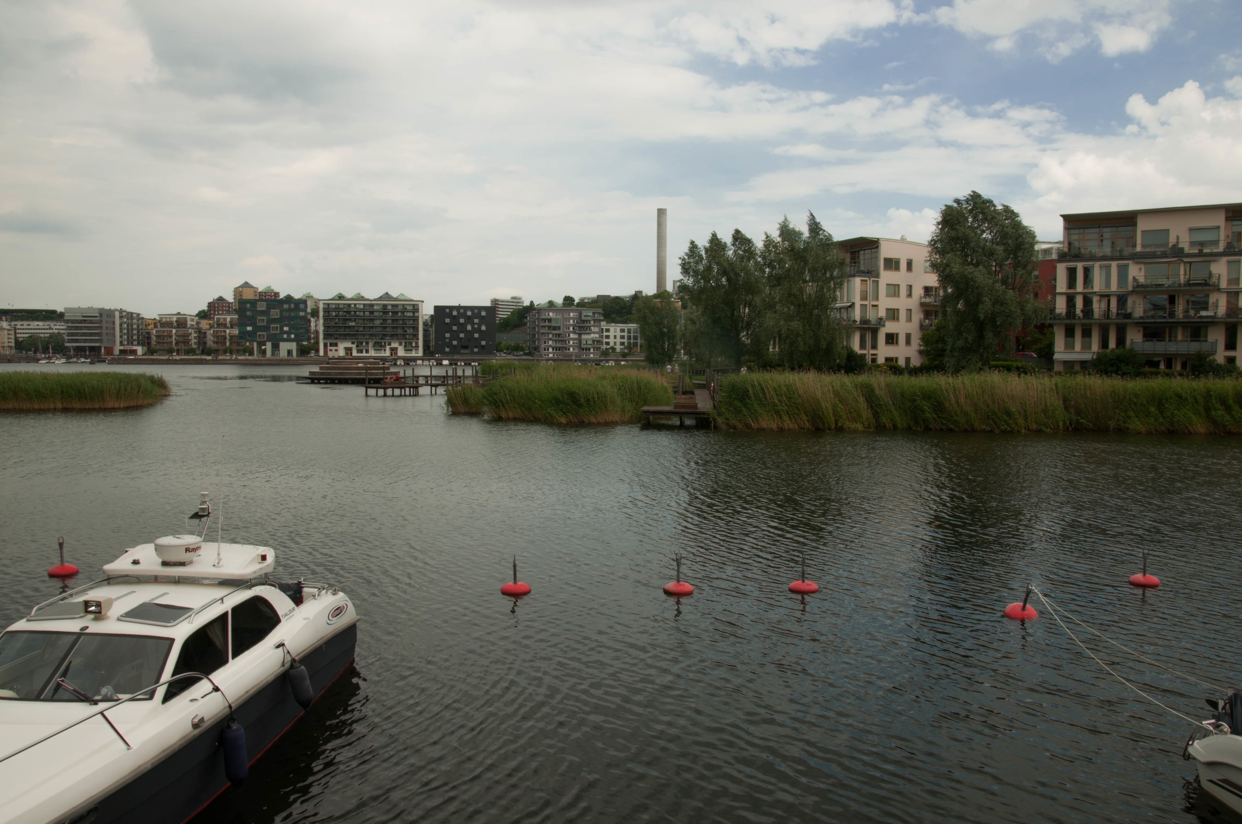
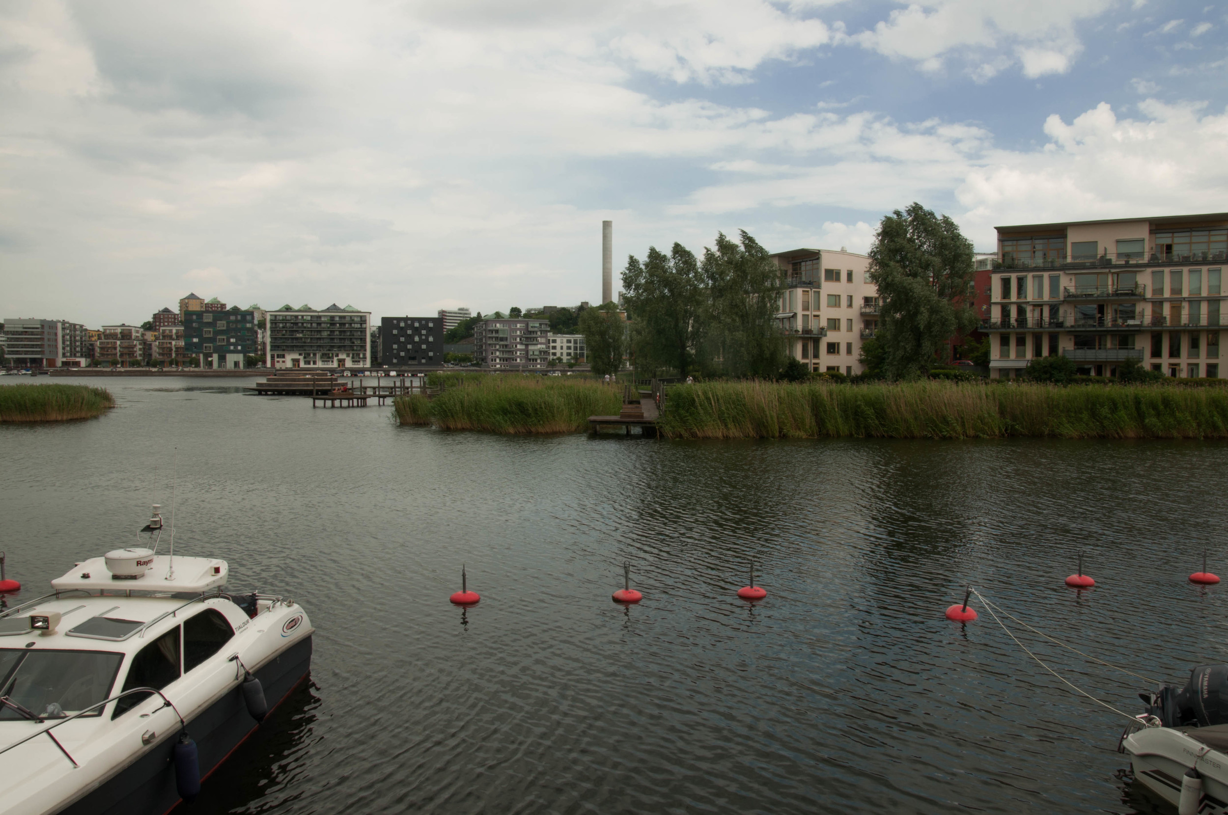
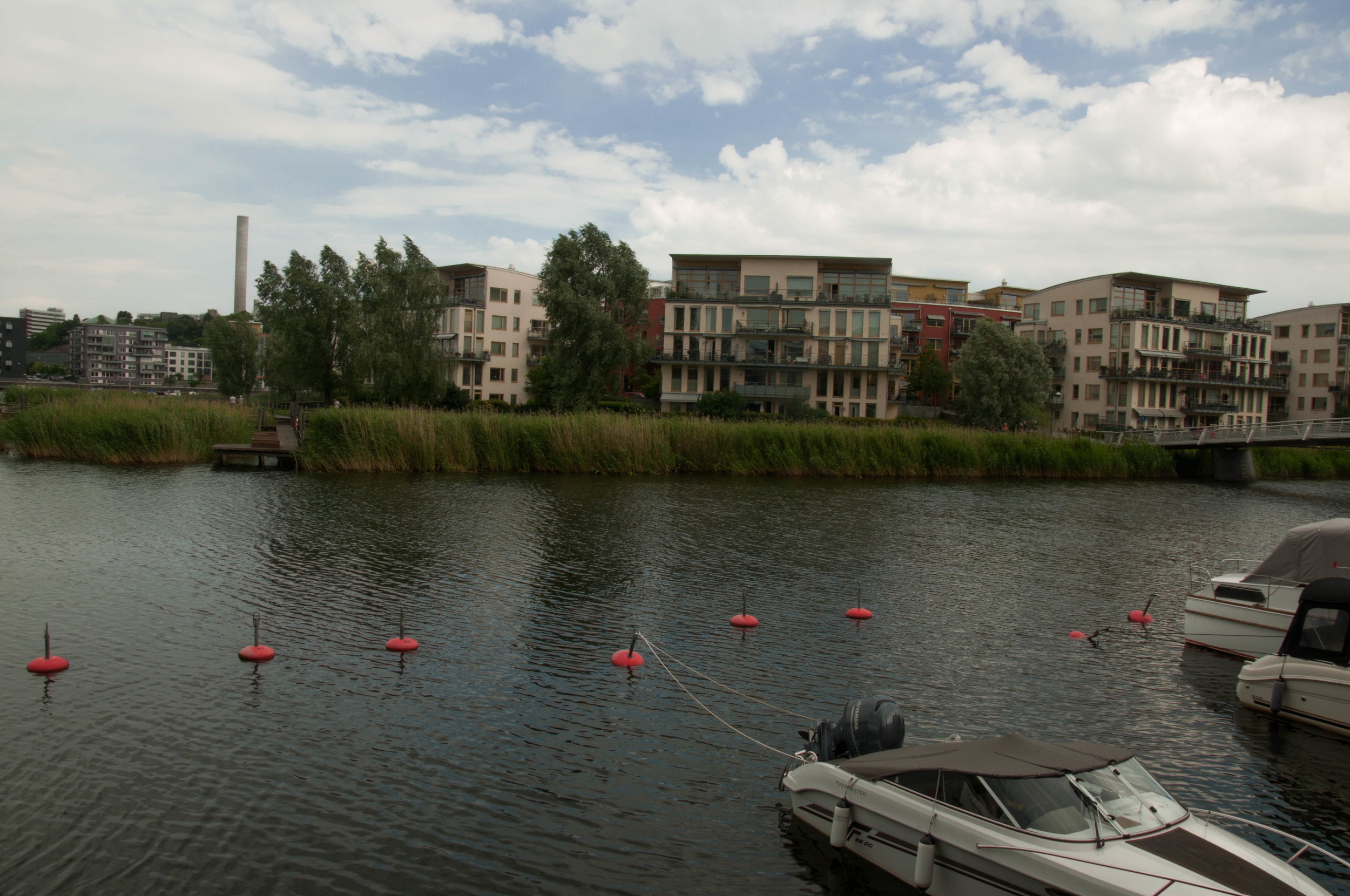
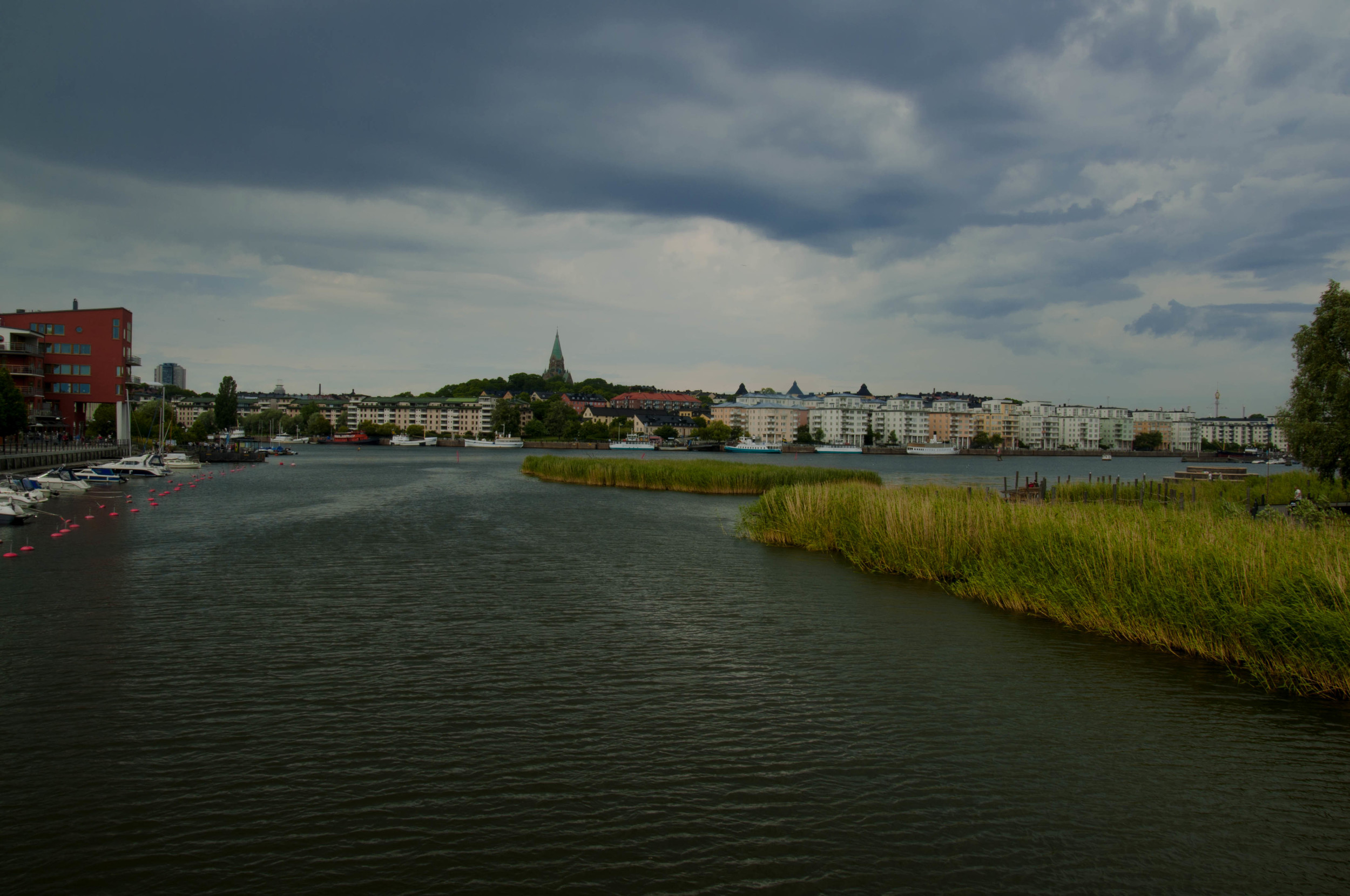
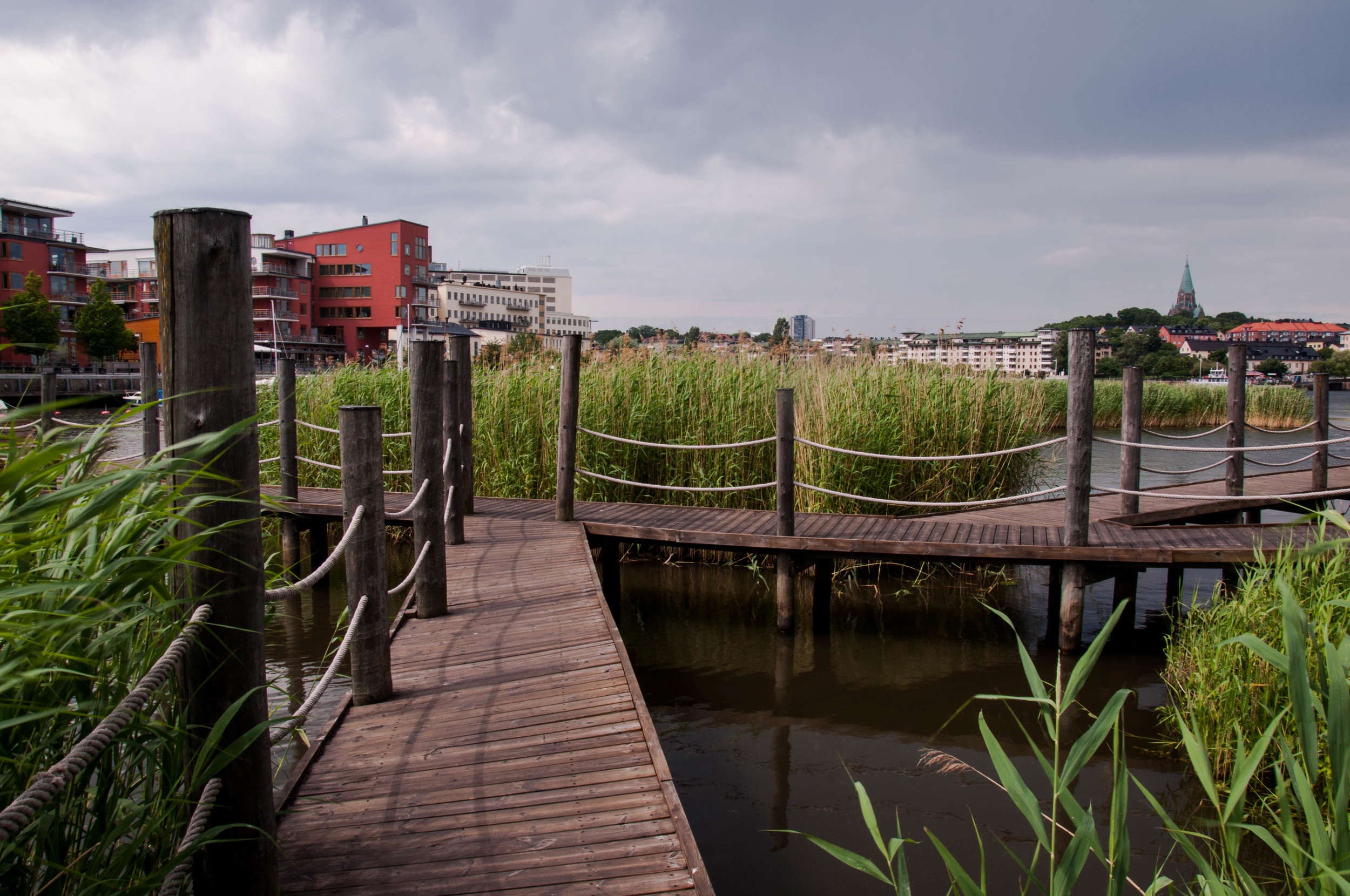
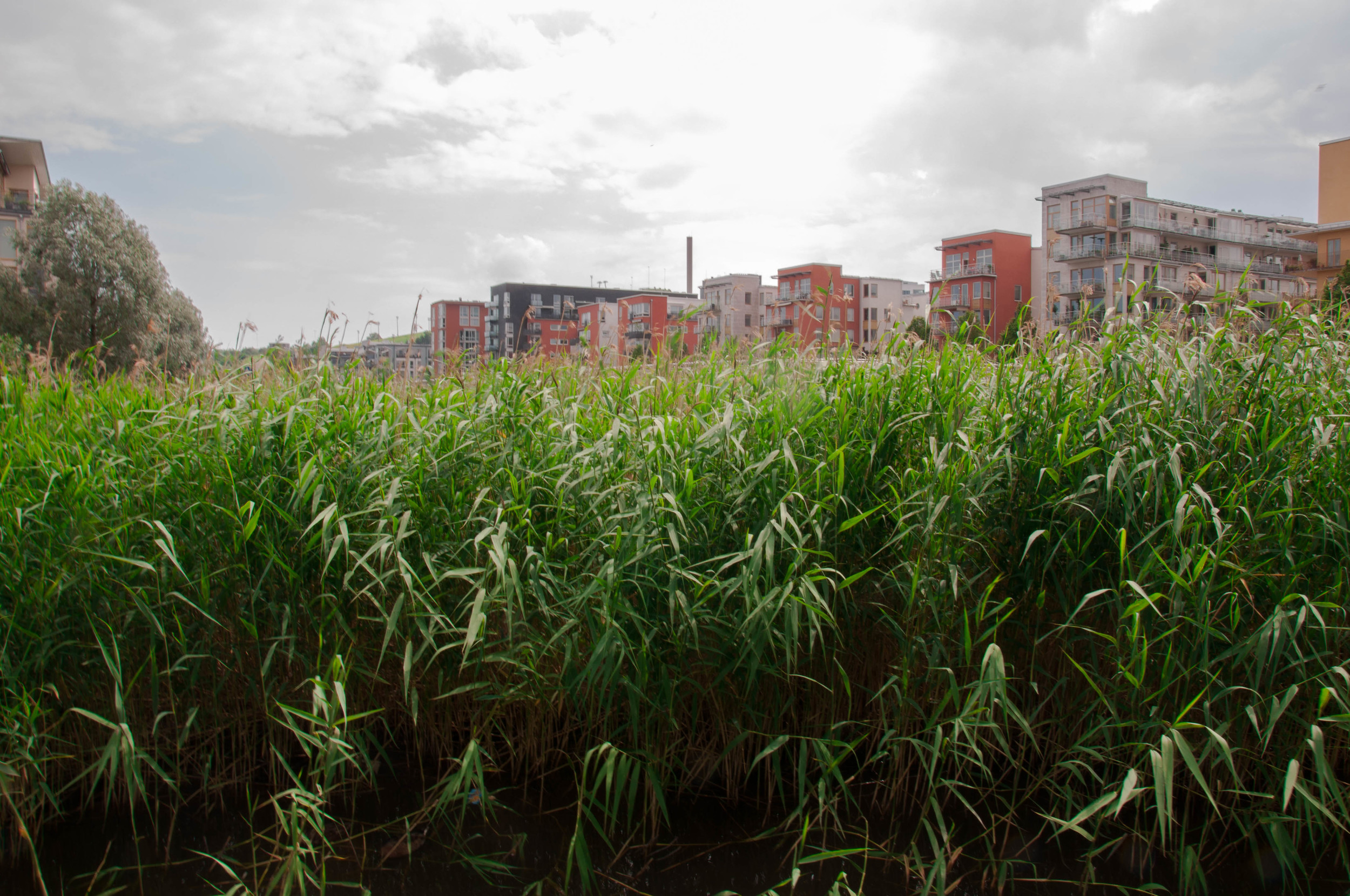
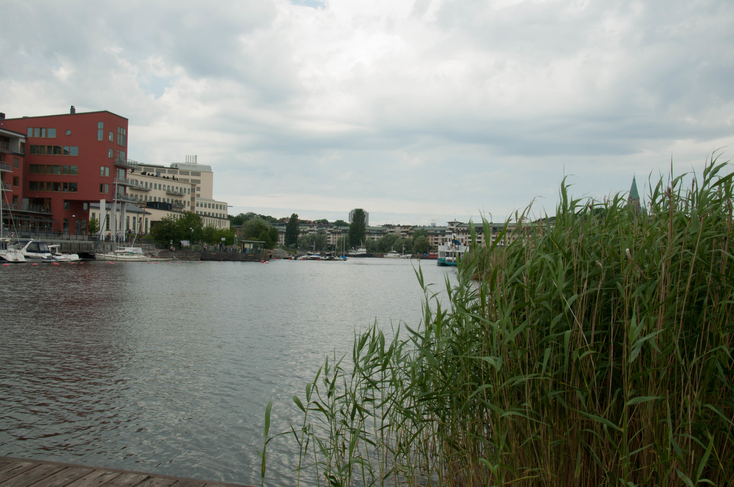
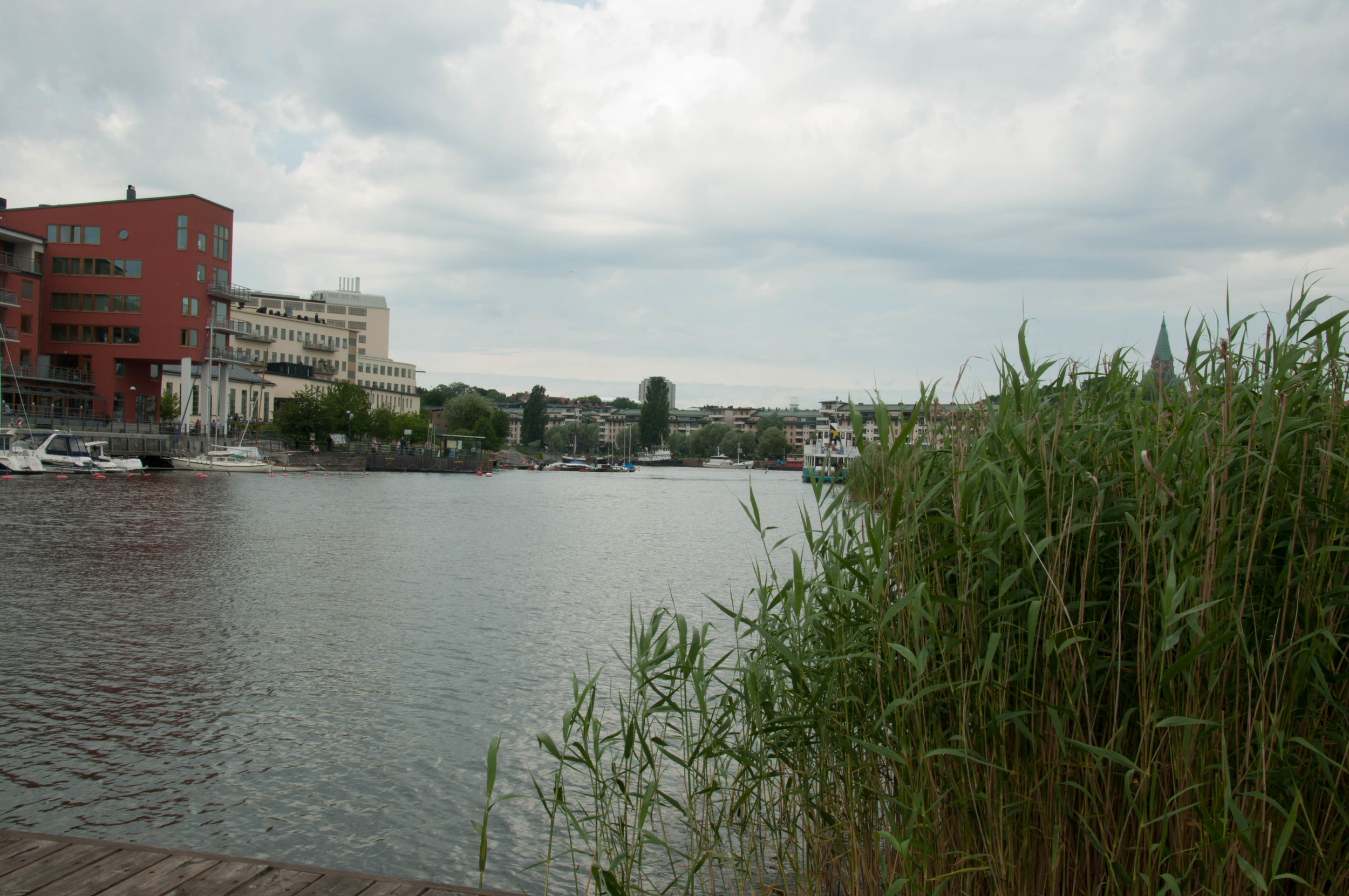
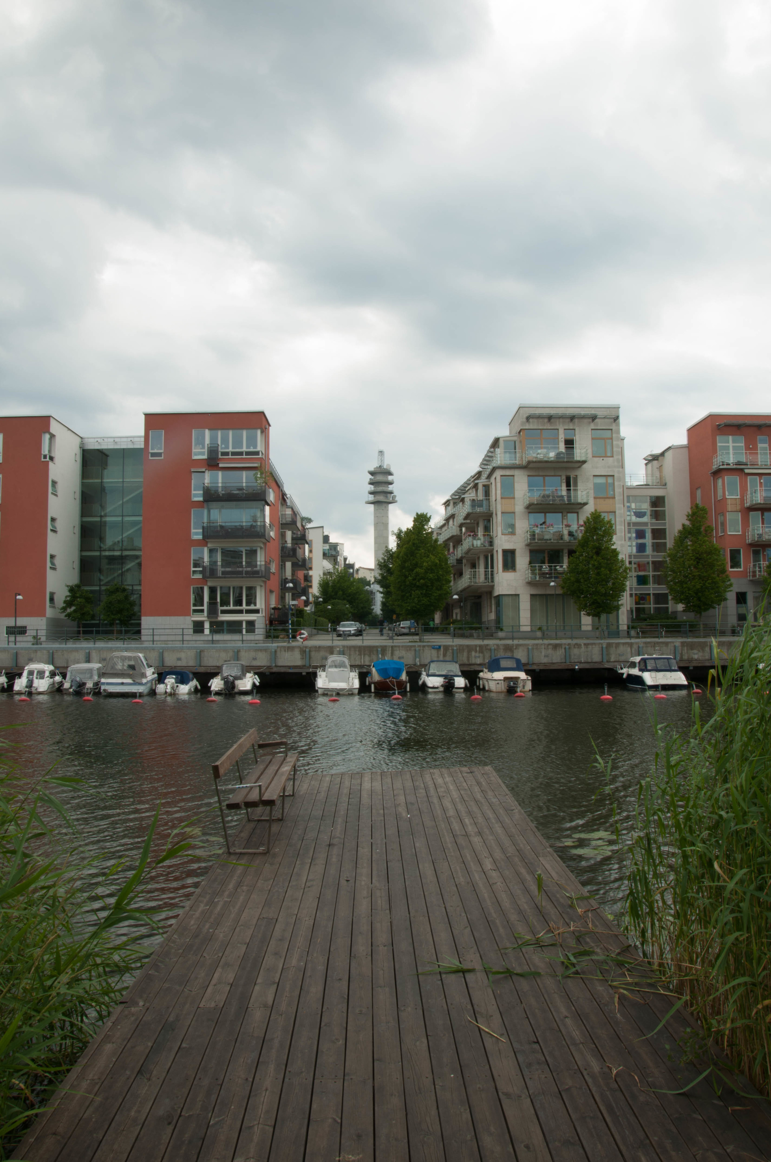
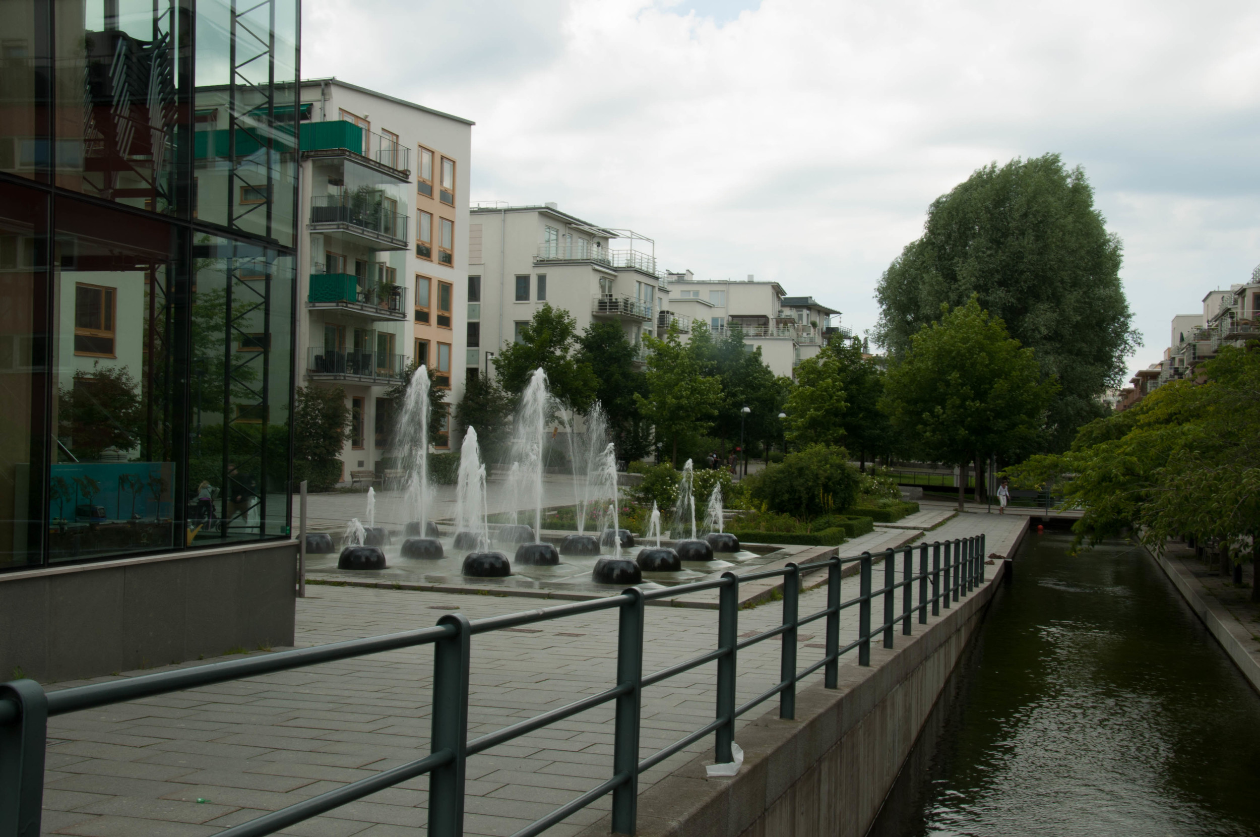
Left with only a full day to tour Copenhagen, the best way to get bang for my buck, was to purchase a one-day Copenhagen Card, which provided access to all public transit throughout The Capital Region, entry to seventy-three museums, and discounts to a number of attractions, activities, and restaurants. It was also great for the purposes of this trip, as it included passage on the Canal Tours Copenhagen from Ved Stranden. My guide had just that morning cruised the canal with Copenhagen’s city planners and briefly mentioned that their priority concern is that the city is flooding. He said that sea level rise is of highest concern, as within as little as thirty years, boats will not be able to pass under the bridges of the canal. Some of the solutions have been to turn some of the artificial islands that were created as military lookout points into wetland reserves.

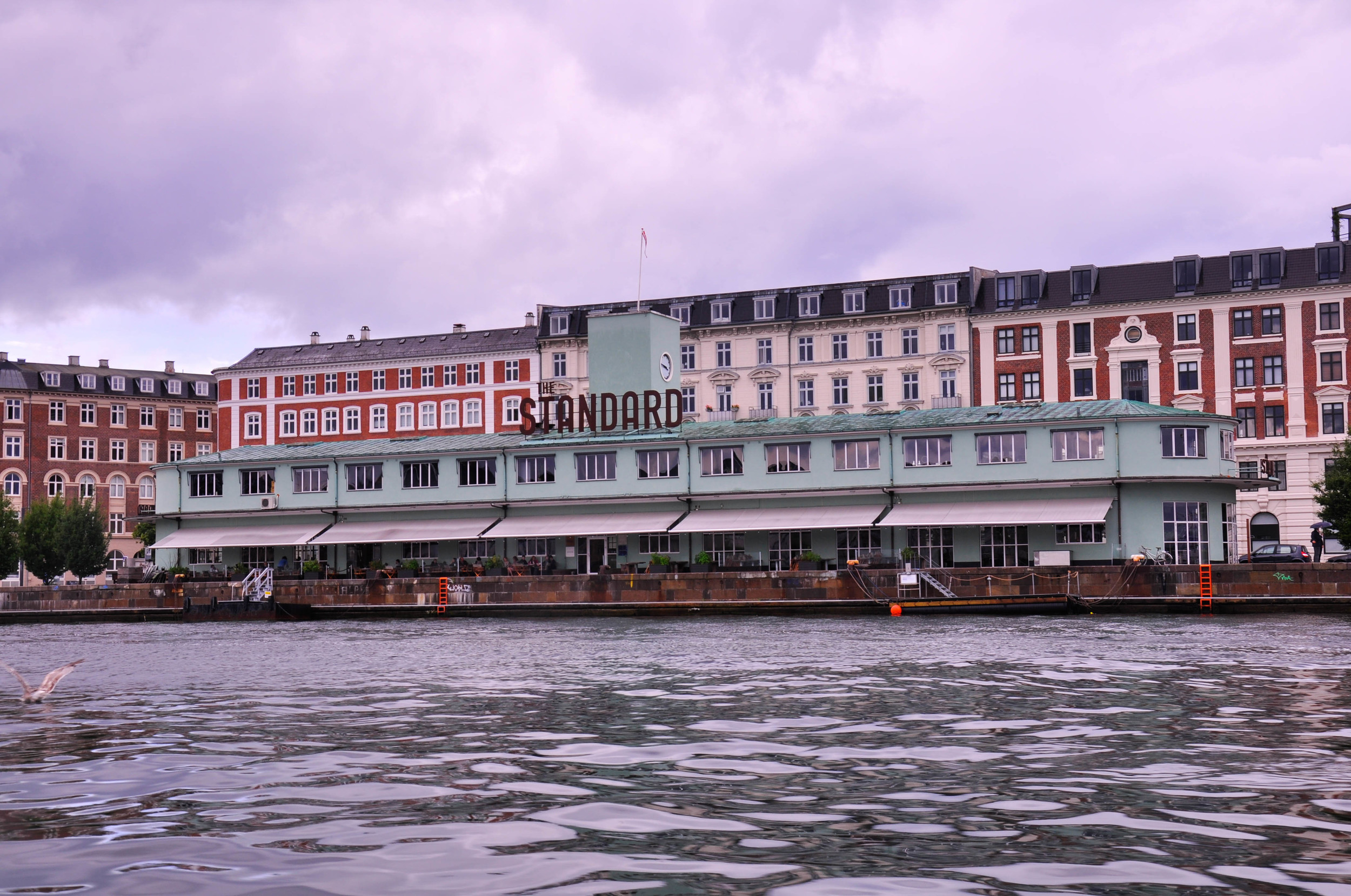
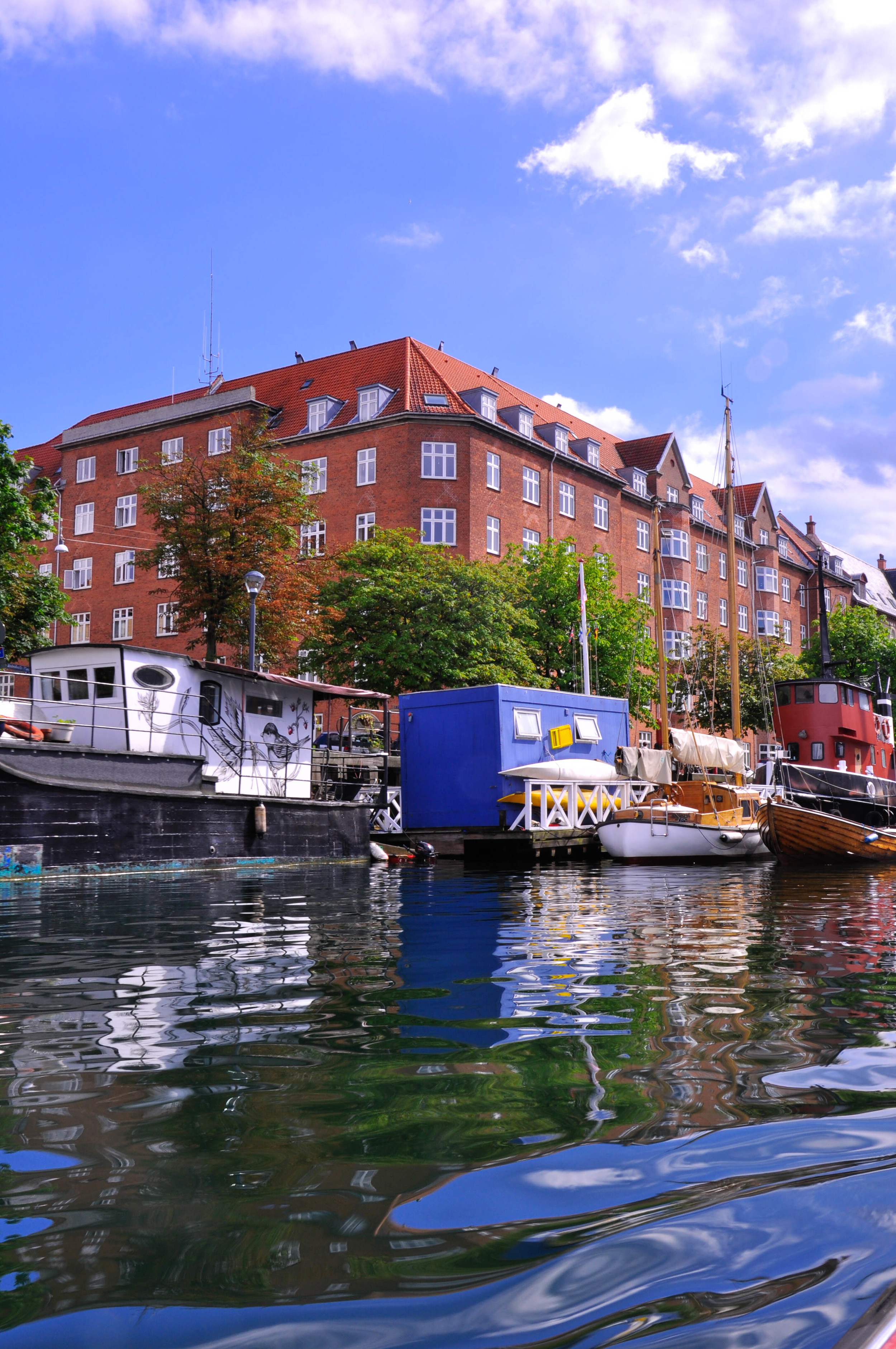
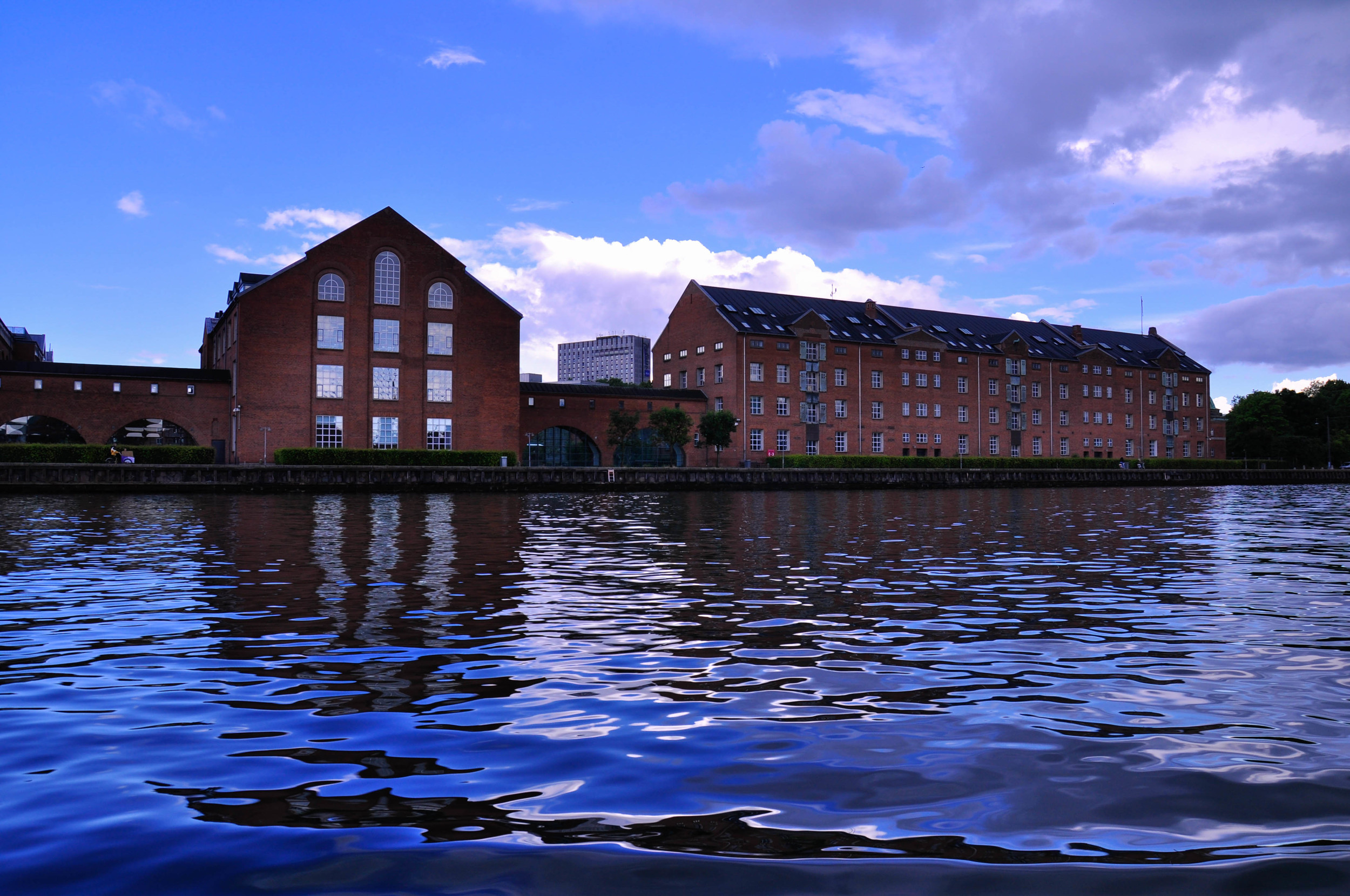
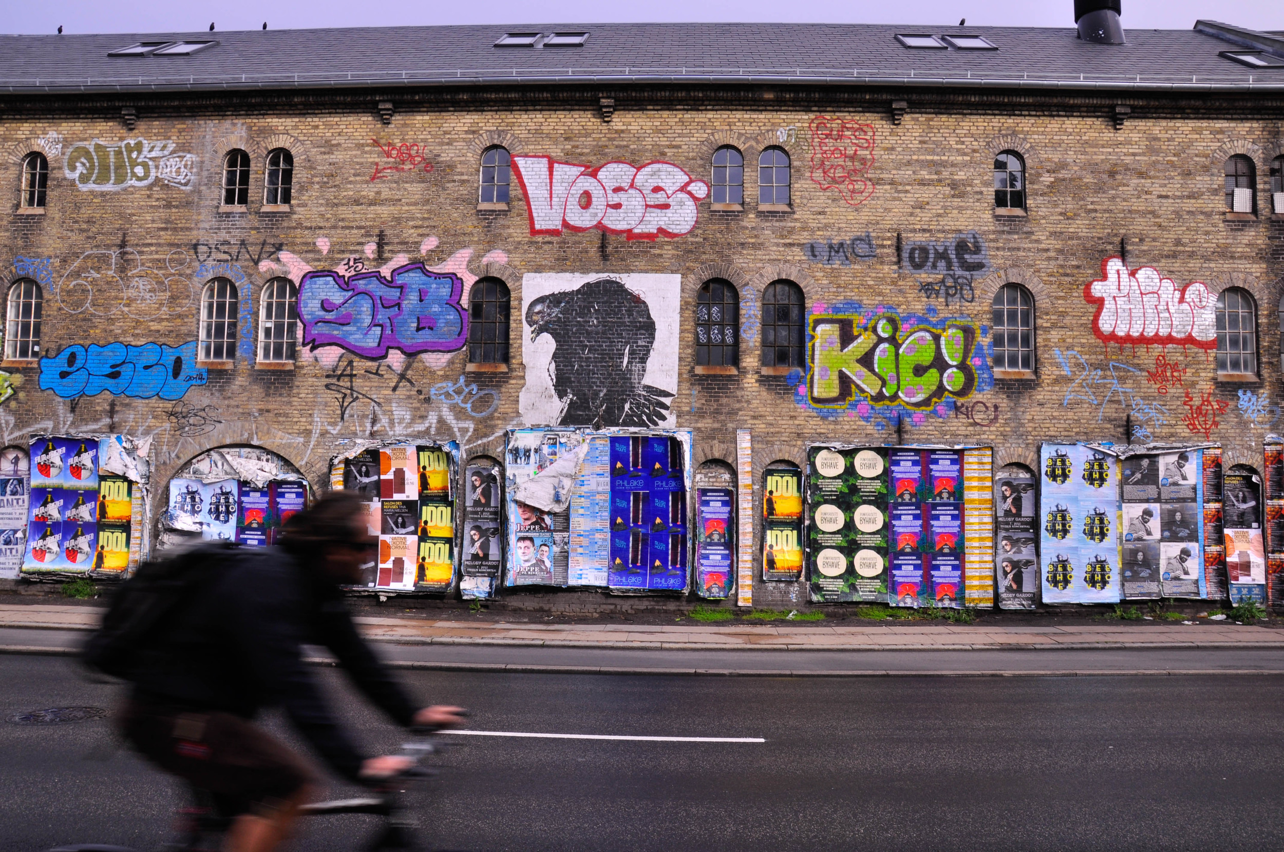
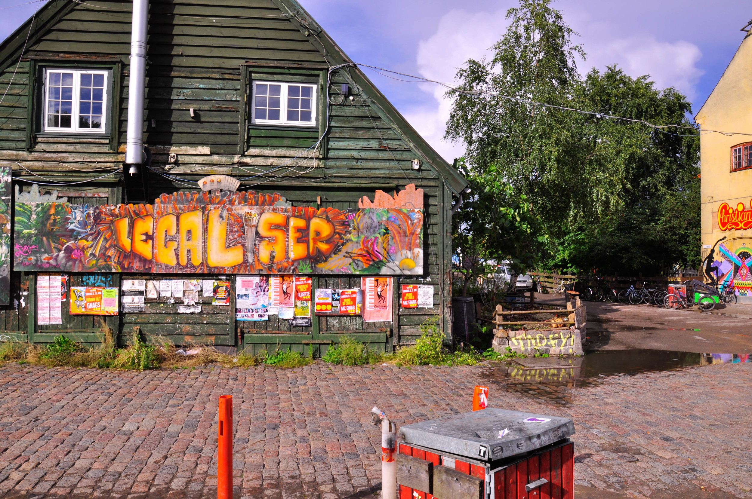
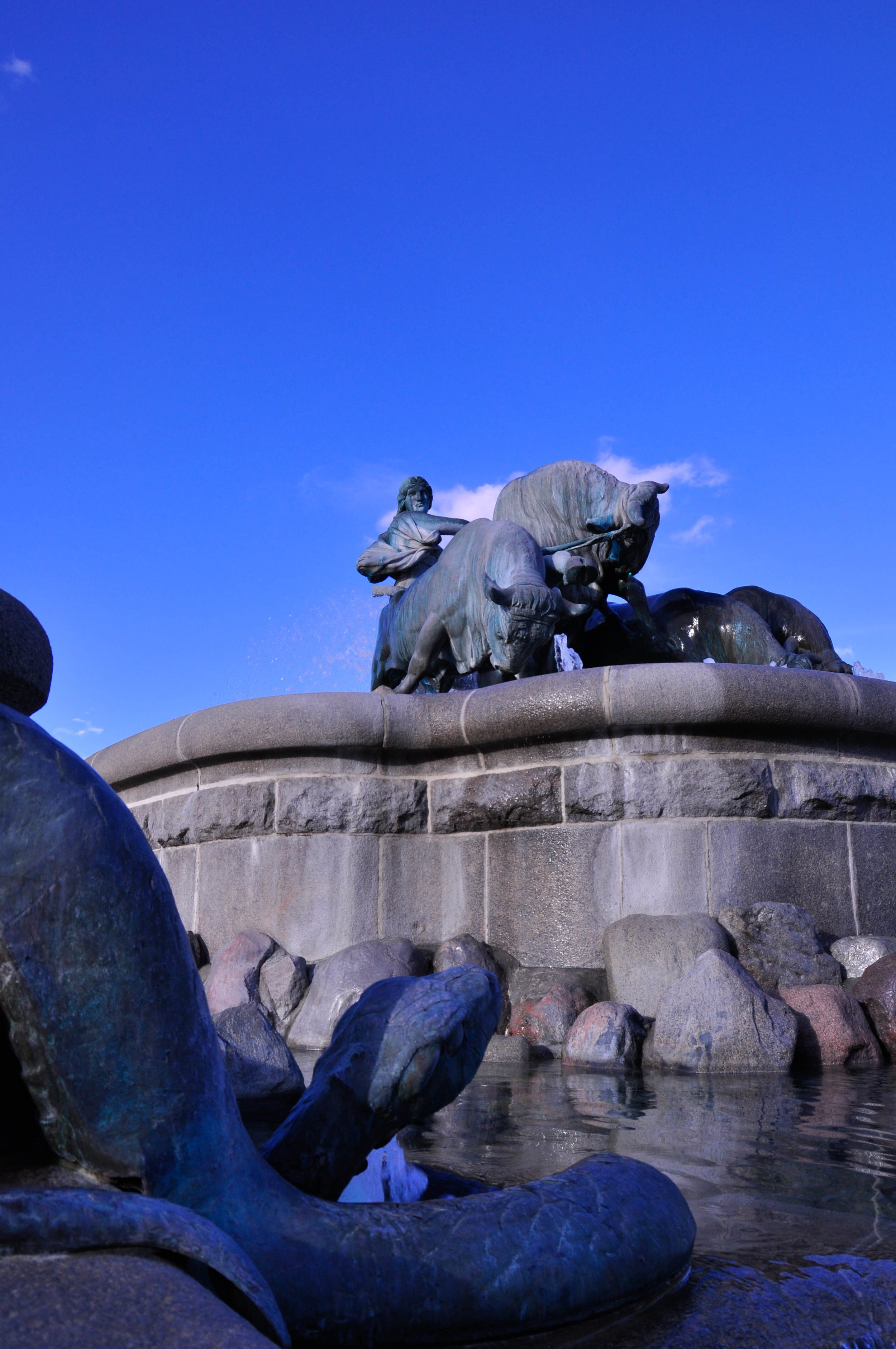
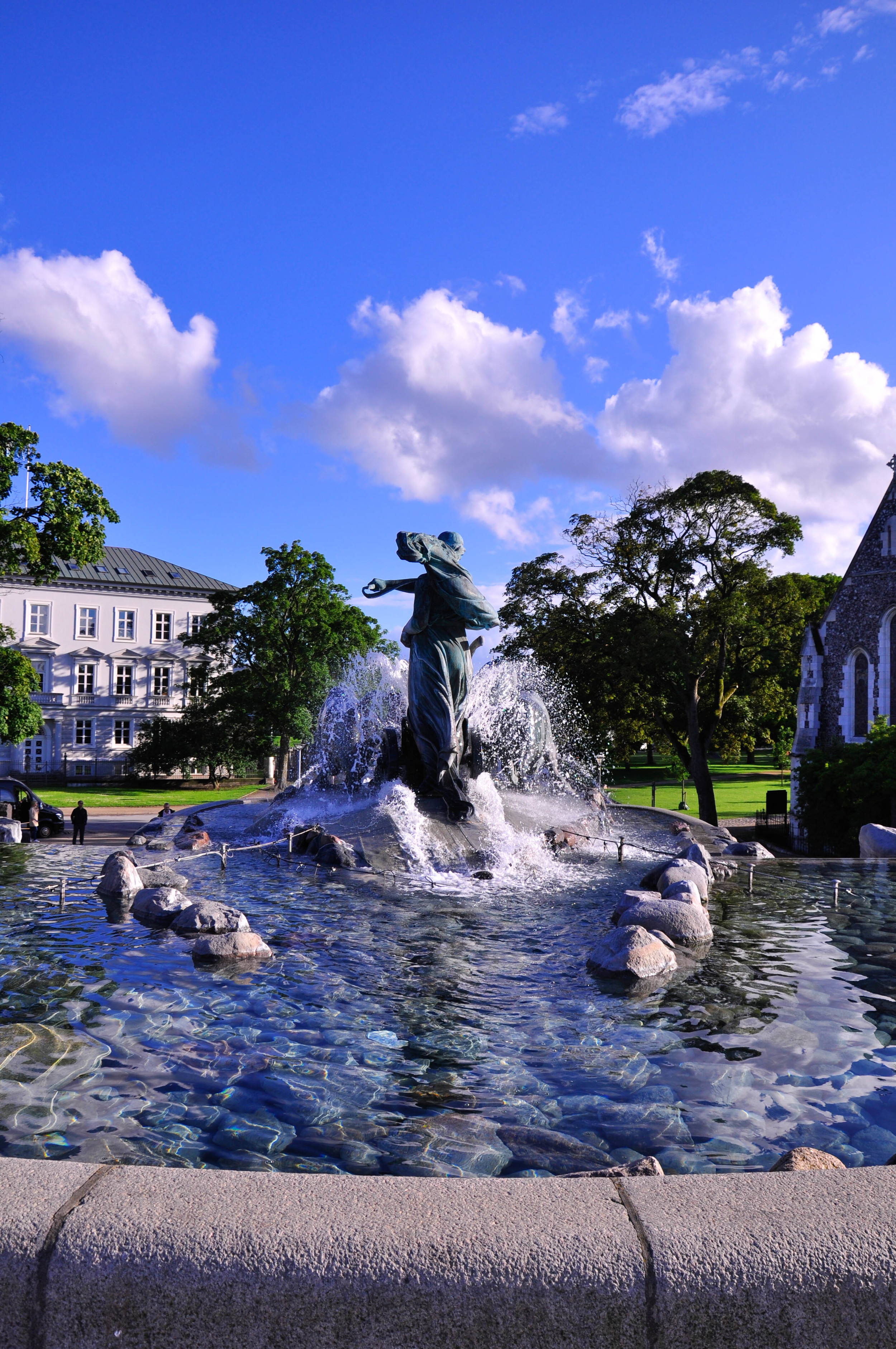
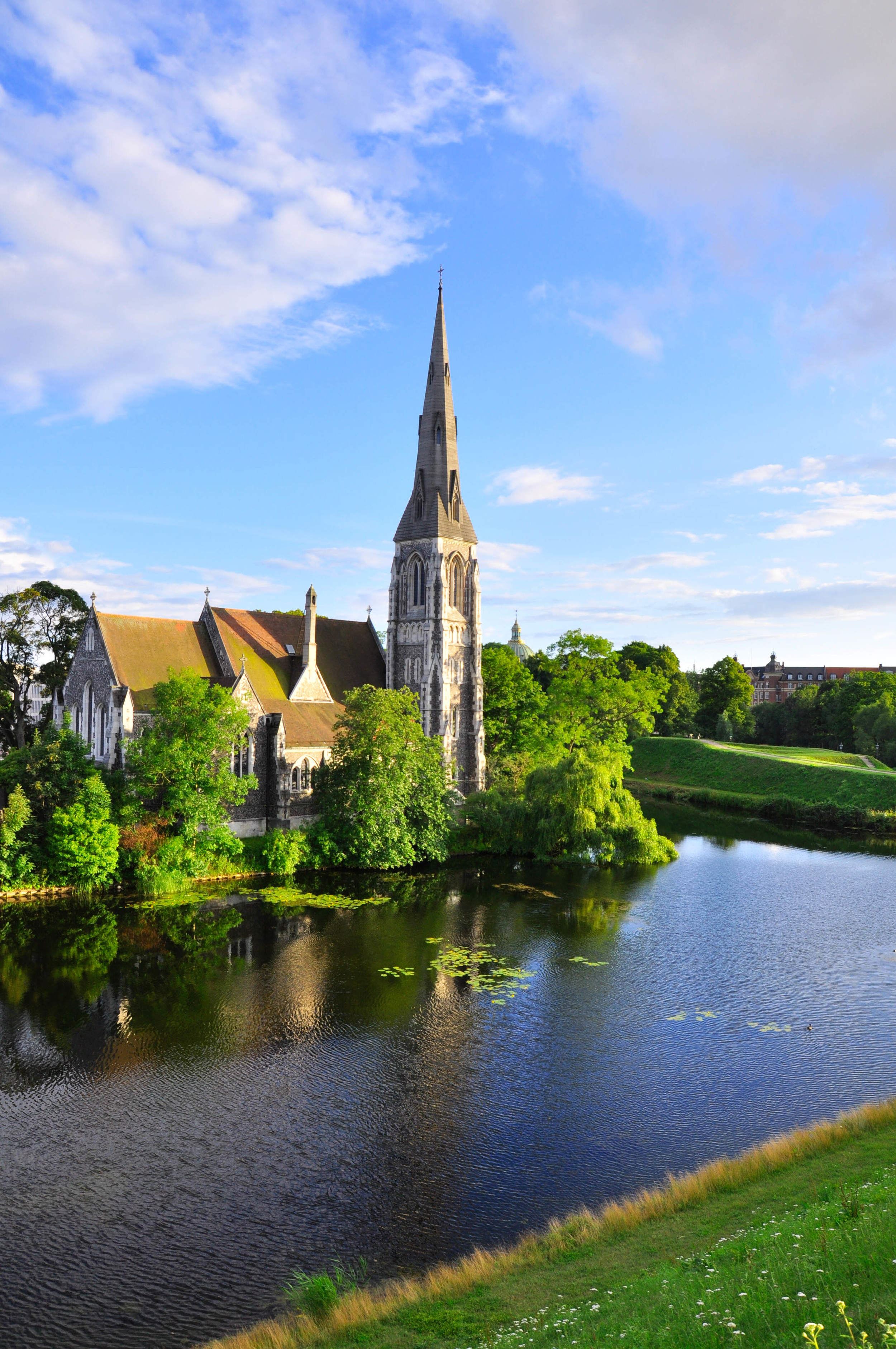
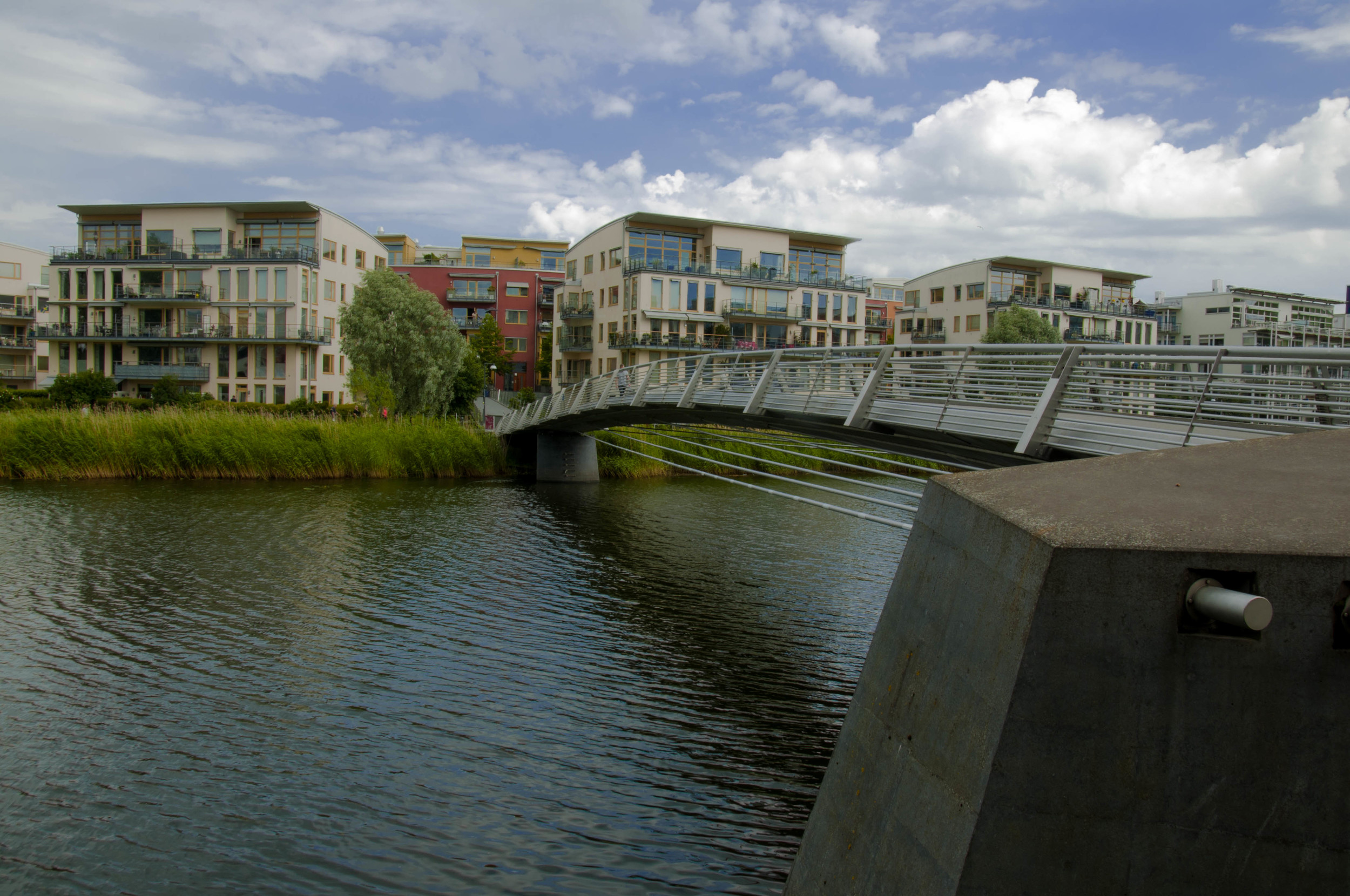
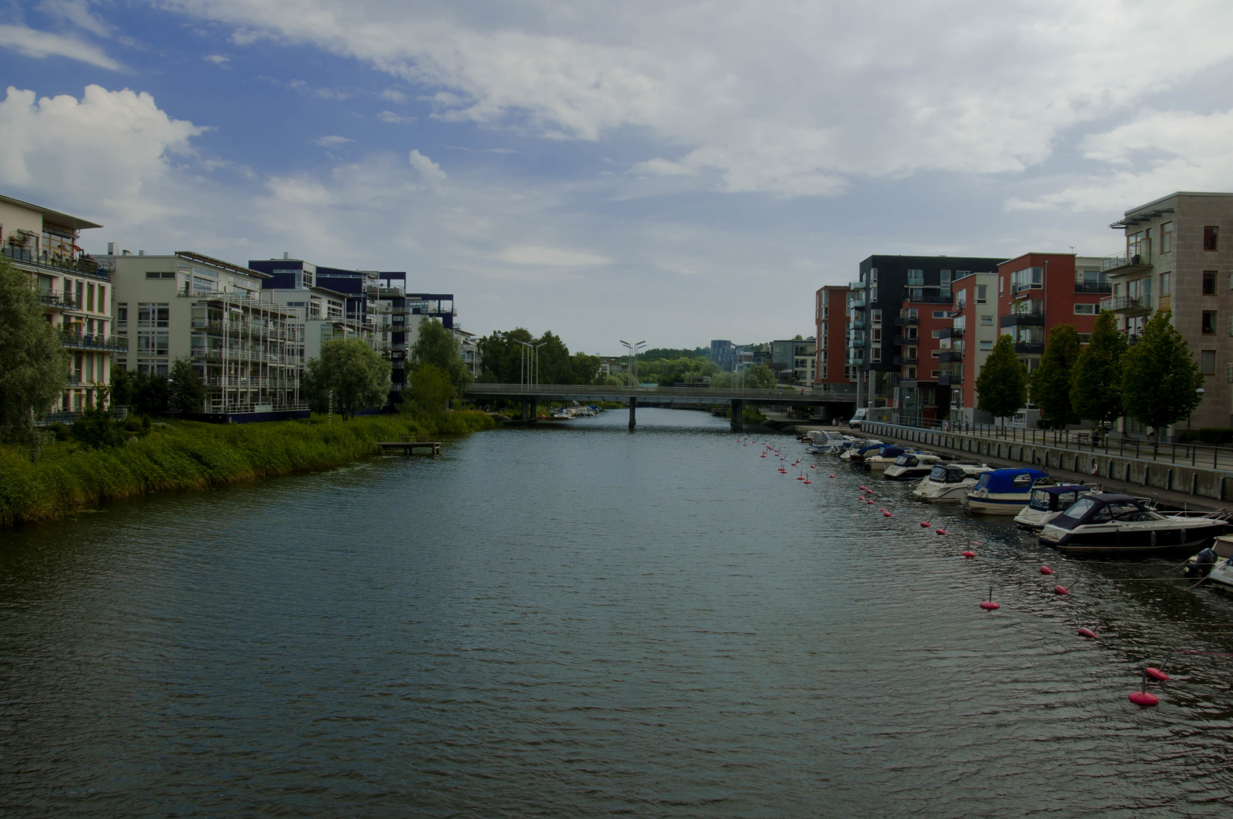
The canal tour illustrated the waterfront history of Copenhagen. From what I observed, it seems that Copenhagen has always been a city on the edge. However, the popularity of the edge has varied over the centuries, and areas were developed to serve specific functions, such as government, trade and commerce, military standpoints, industry, and housing. This is significant as a varying of the edge represents changes of socio-political importance throughout a city’s history. While this is not unique to Copenhagen, what struck me as surprising was the long held trend to adapt (what we would call rezoning) areas to suit the needs of the present populous. For instance, Vesterbro, the former red light district and working-class area is now infamous as the city’s hipster haven. Similarly, in the district of Christianshavn, is the old industrial island Refshaleøen, which was home to some of the world’s largest shipyards. Now, however, Refshaleøen is home to creative centers, music festivals, and restaurants. If you would like to learn more about Refshaleøen, check out the documentary Mænd & Metal (Men & Metal).

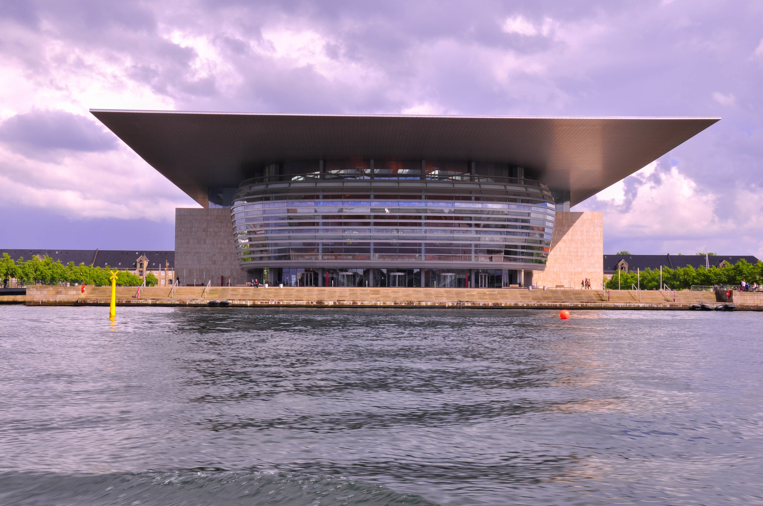
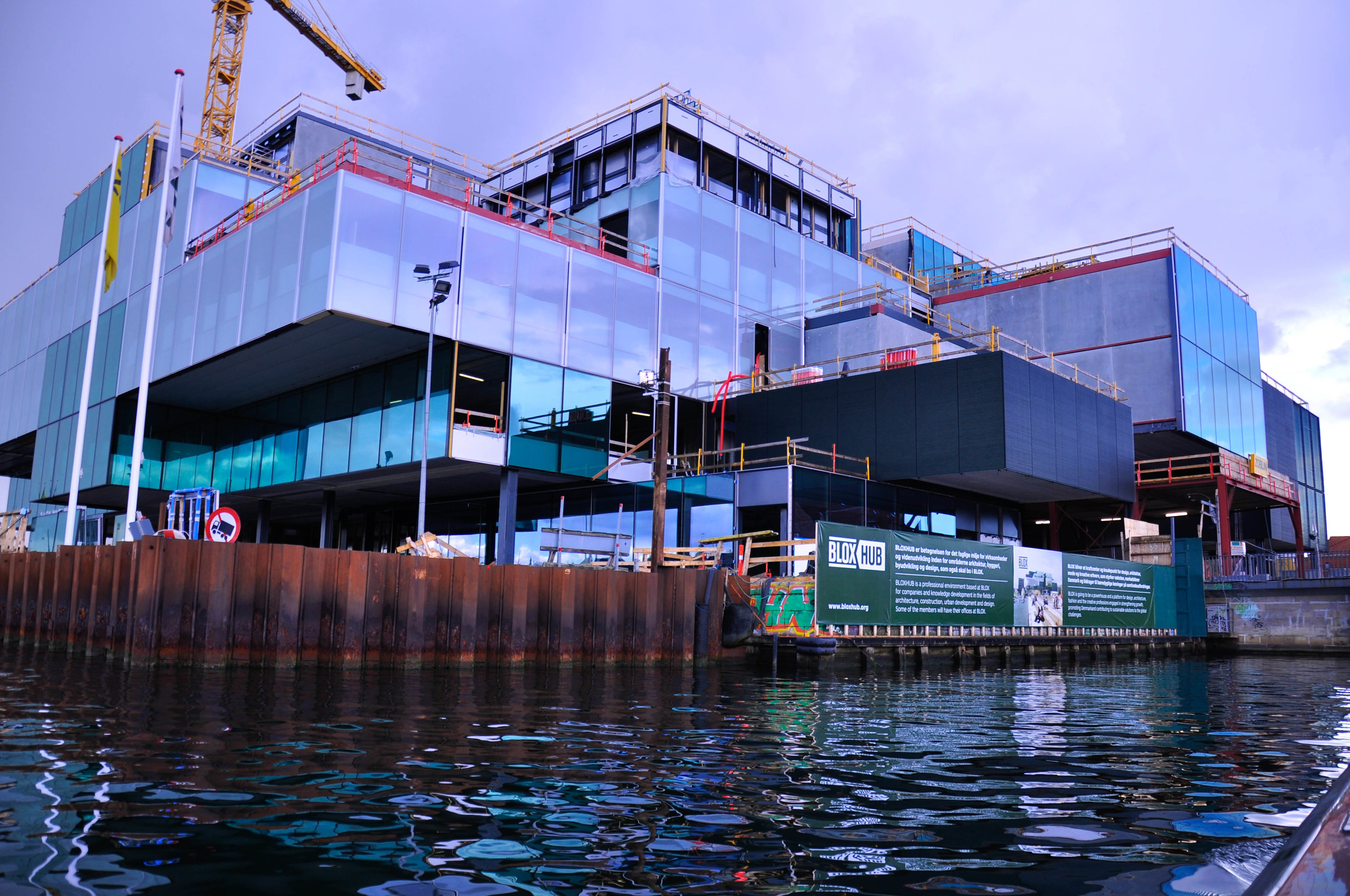
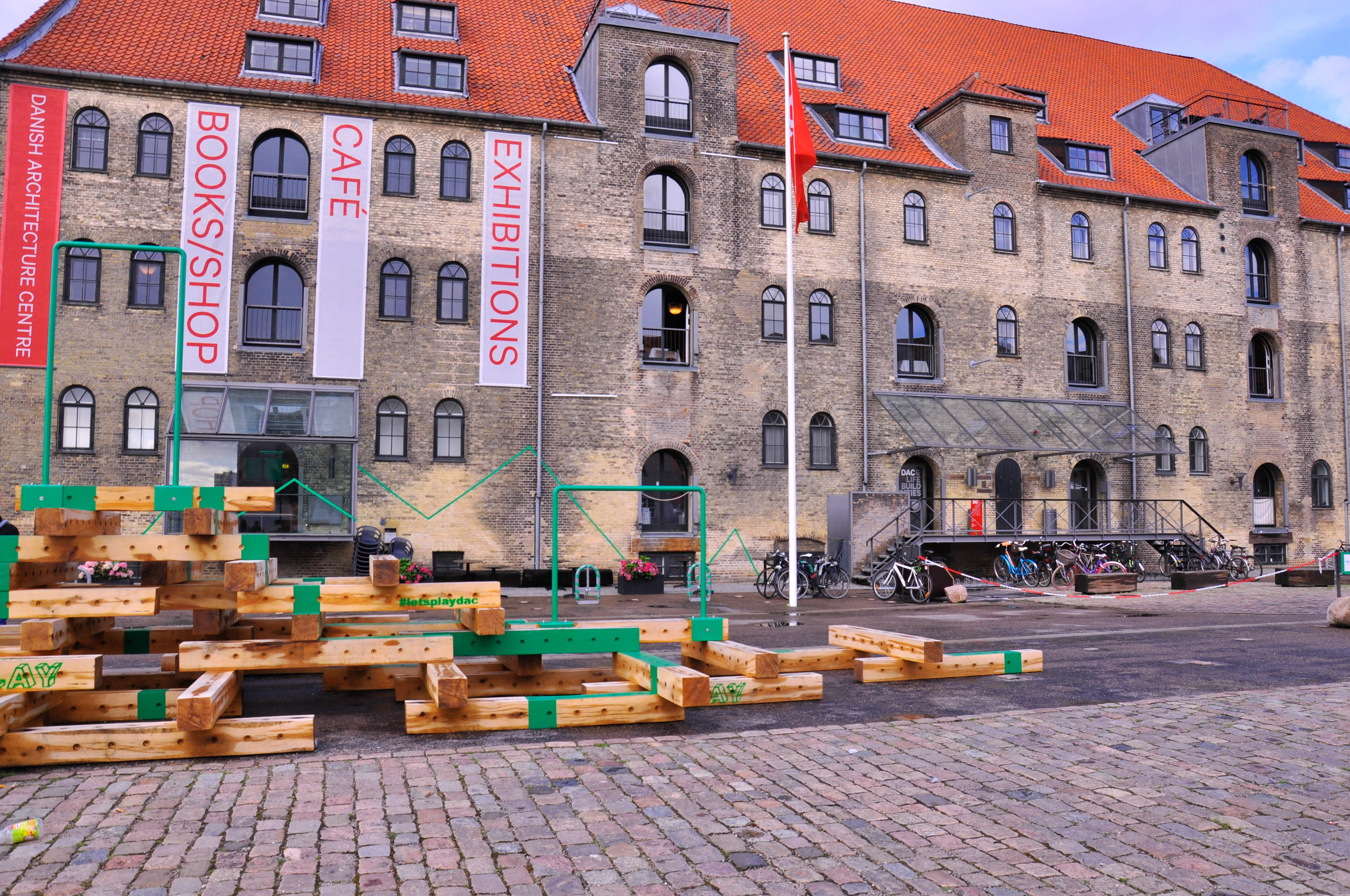
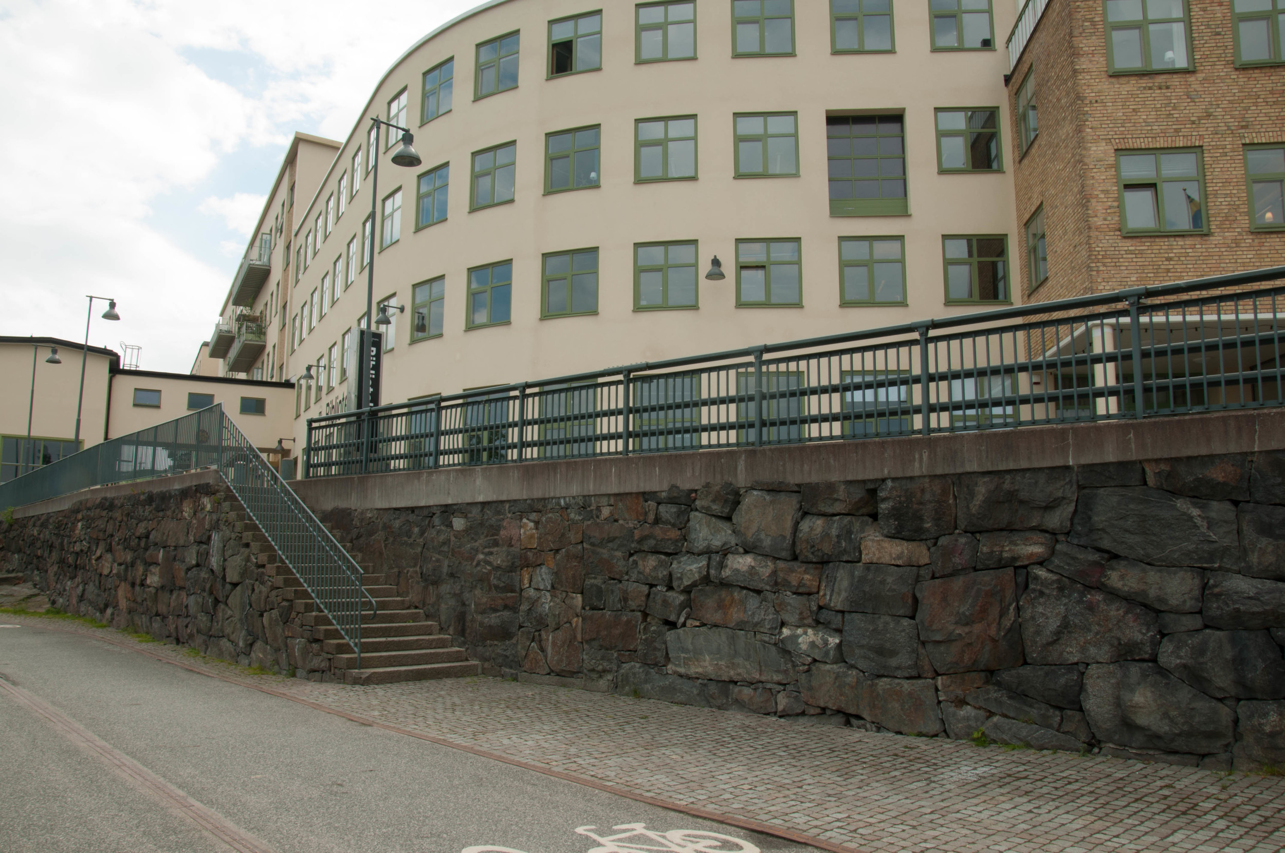
The tour also showed where the Danish Architecture Center (DAC) was located and provided a look into the new waterfront development, which DAC is collaborating on. (Naturally, DAC became the next stop on my quick visit!)

Danish Architecture Center

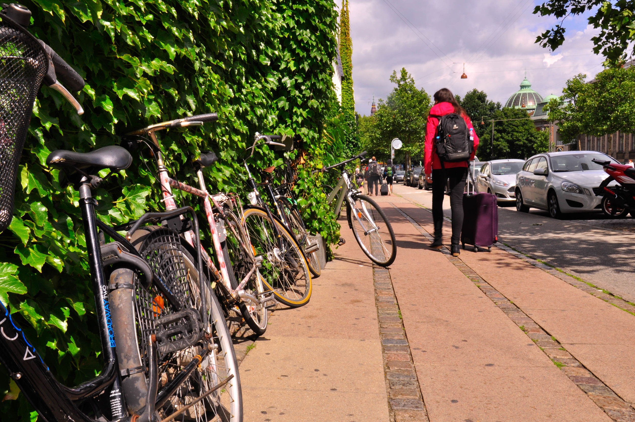
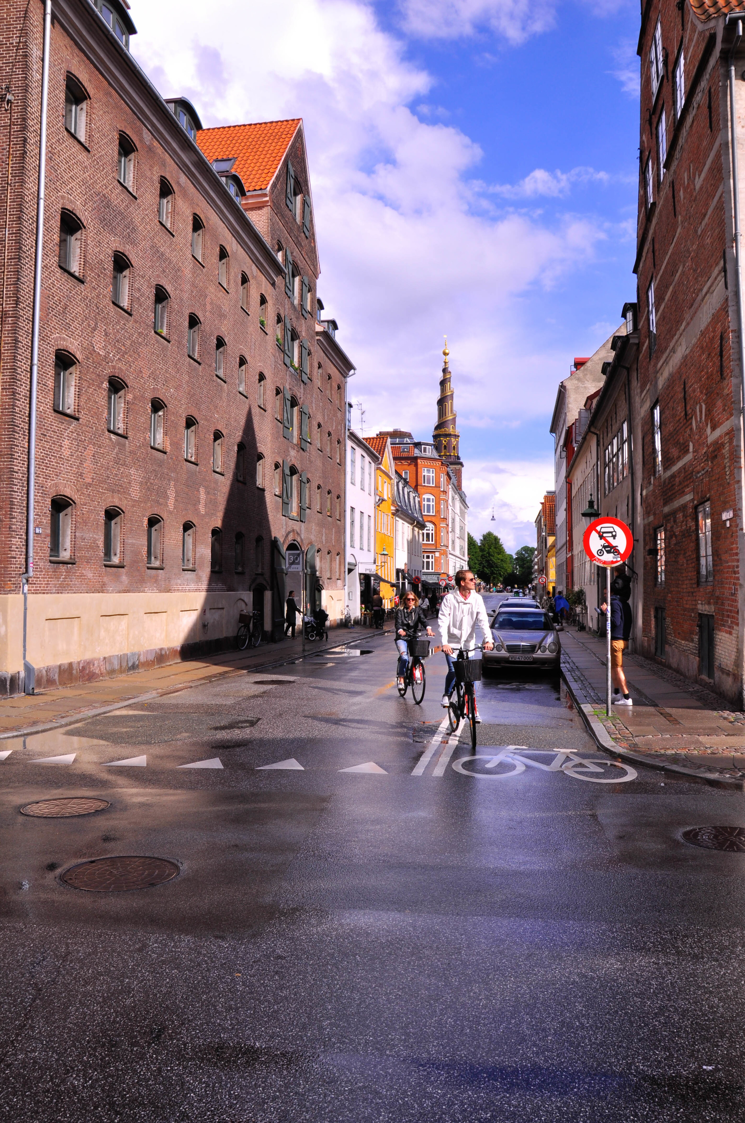
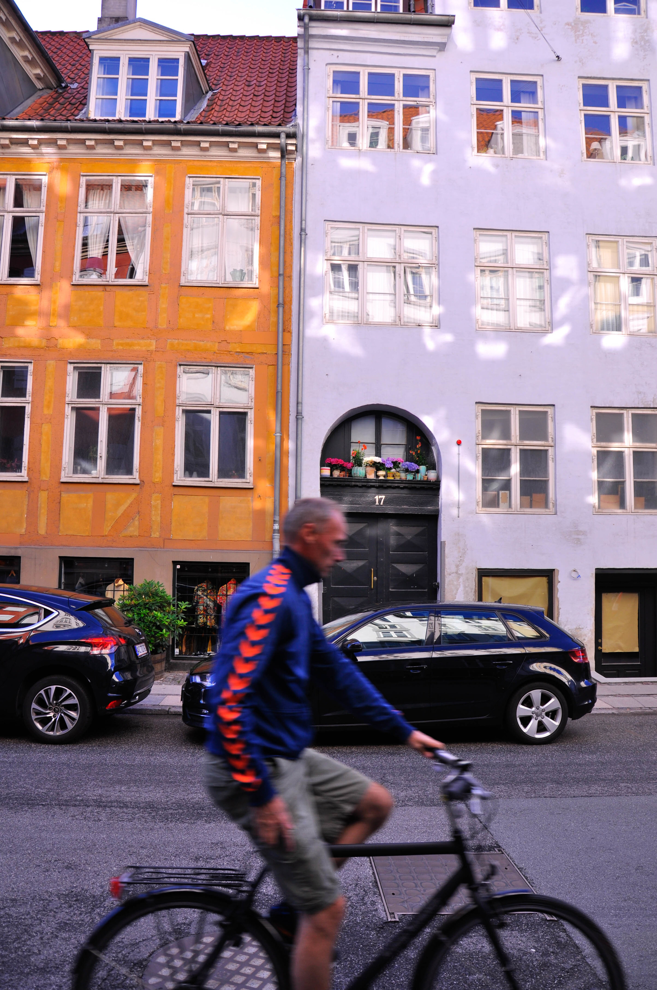
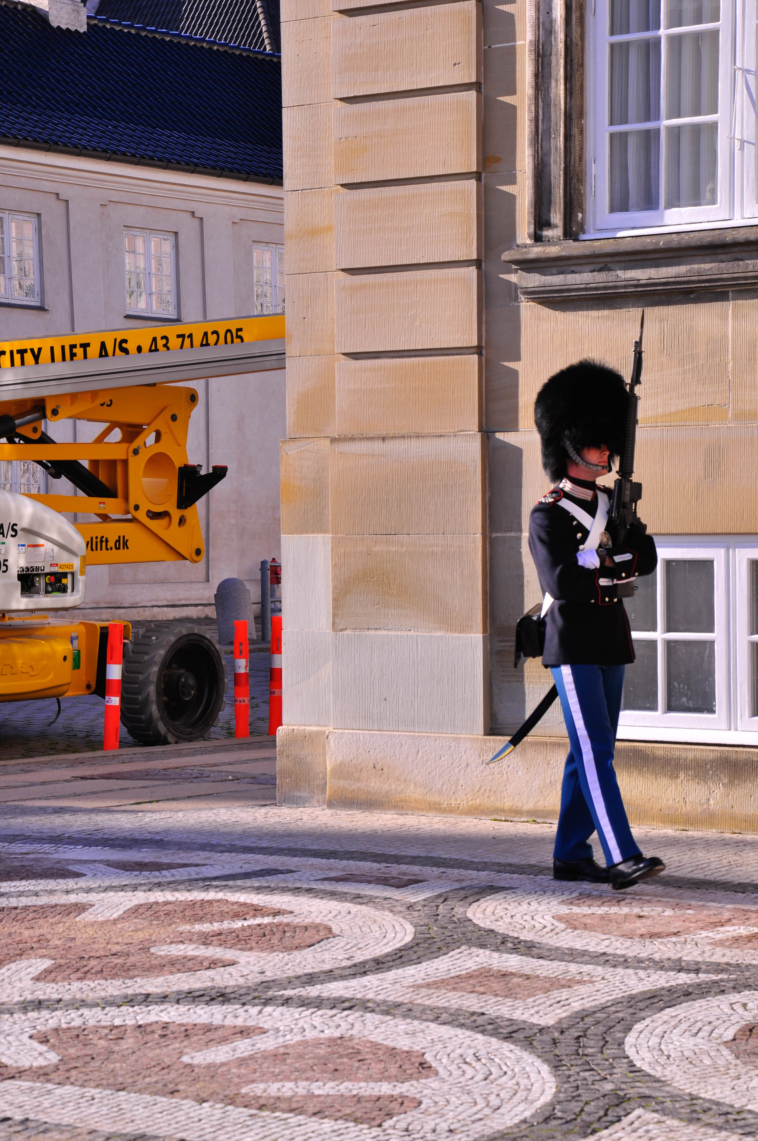
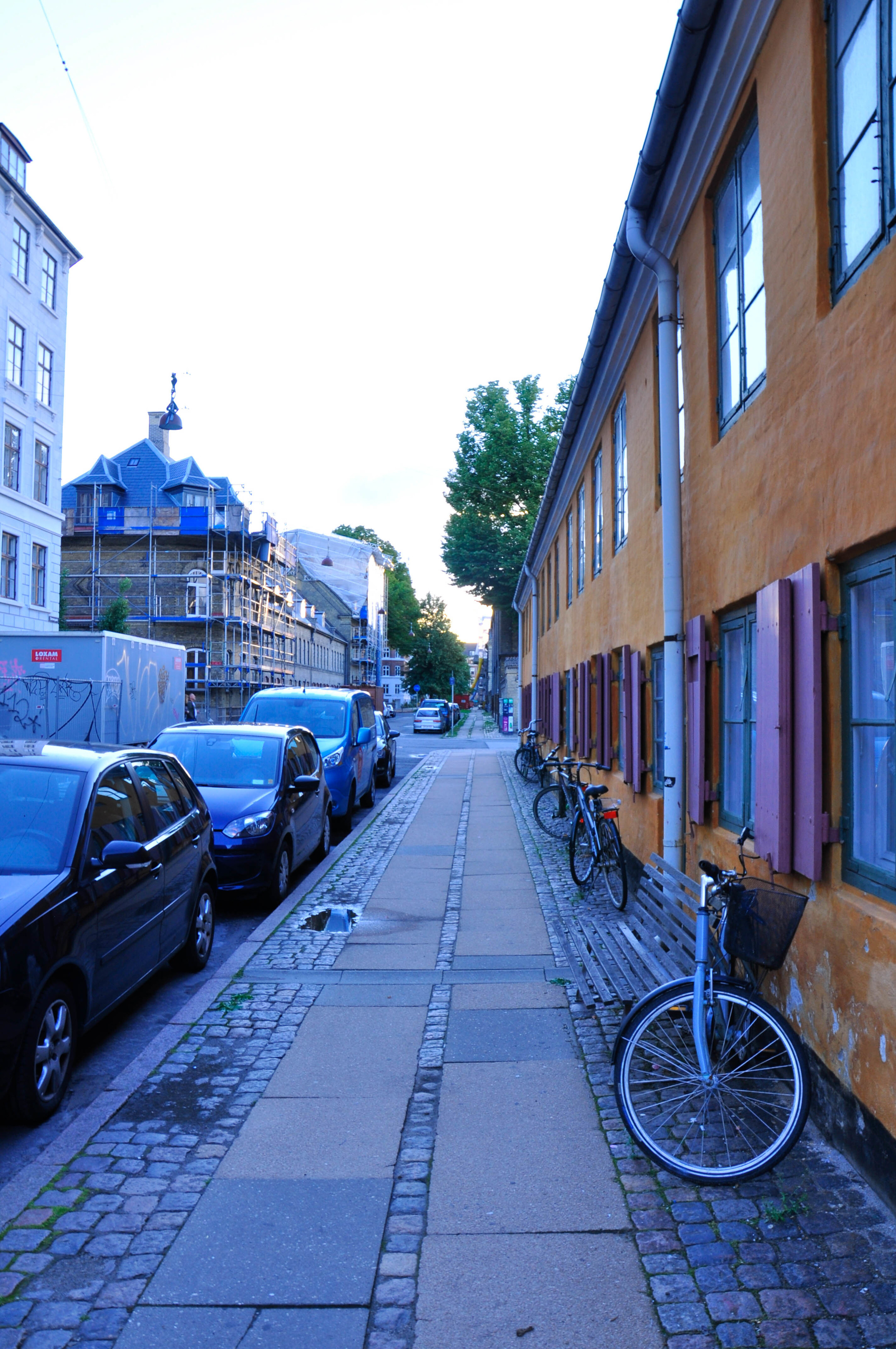
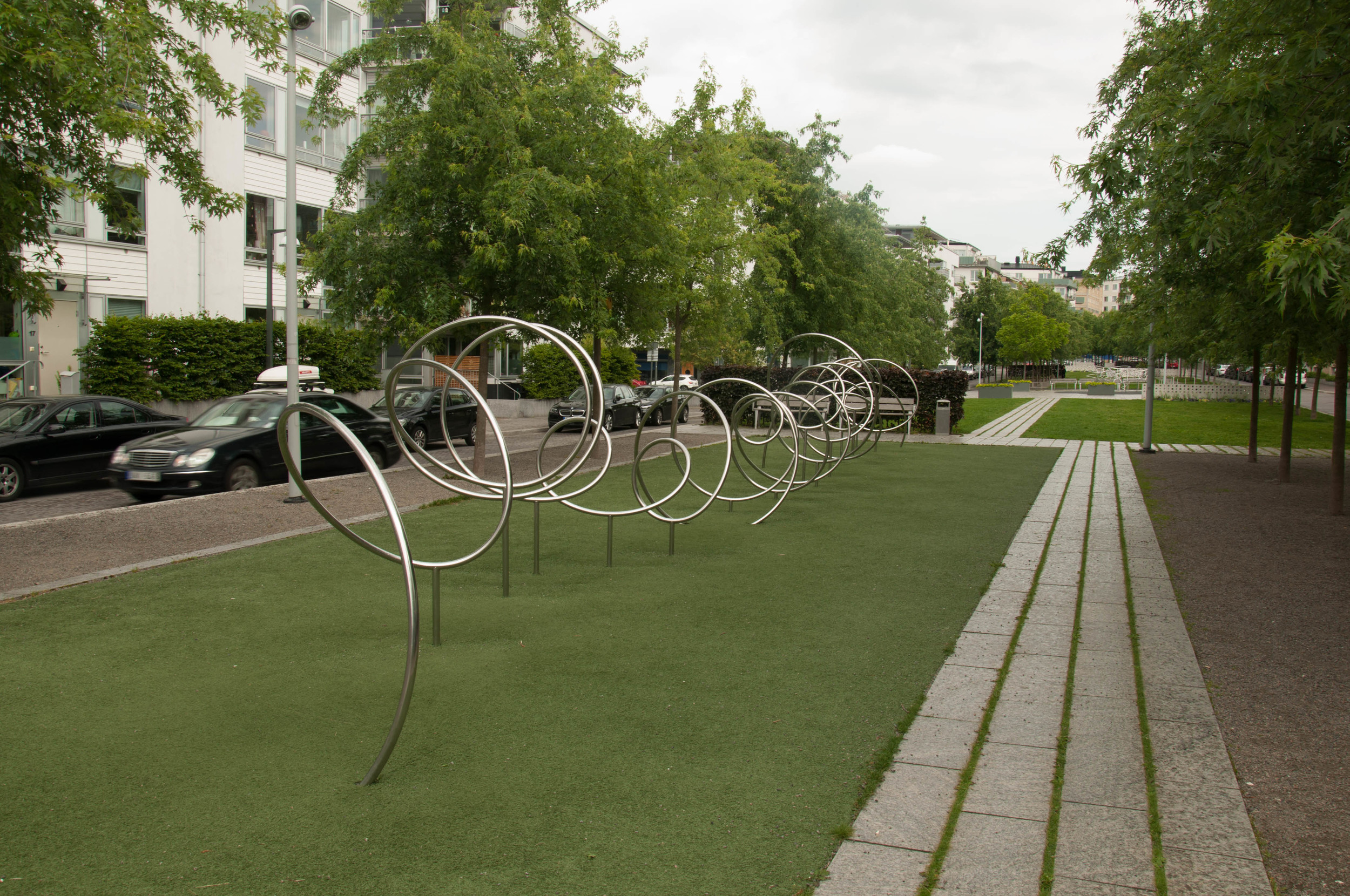
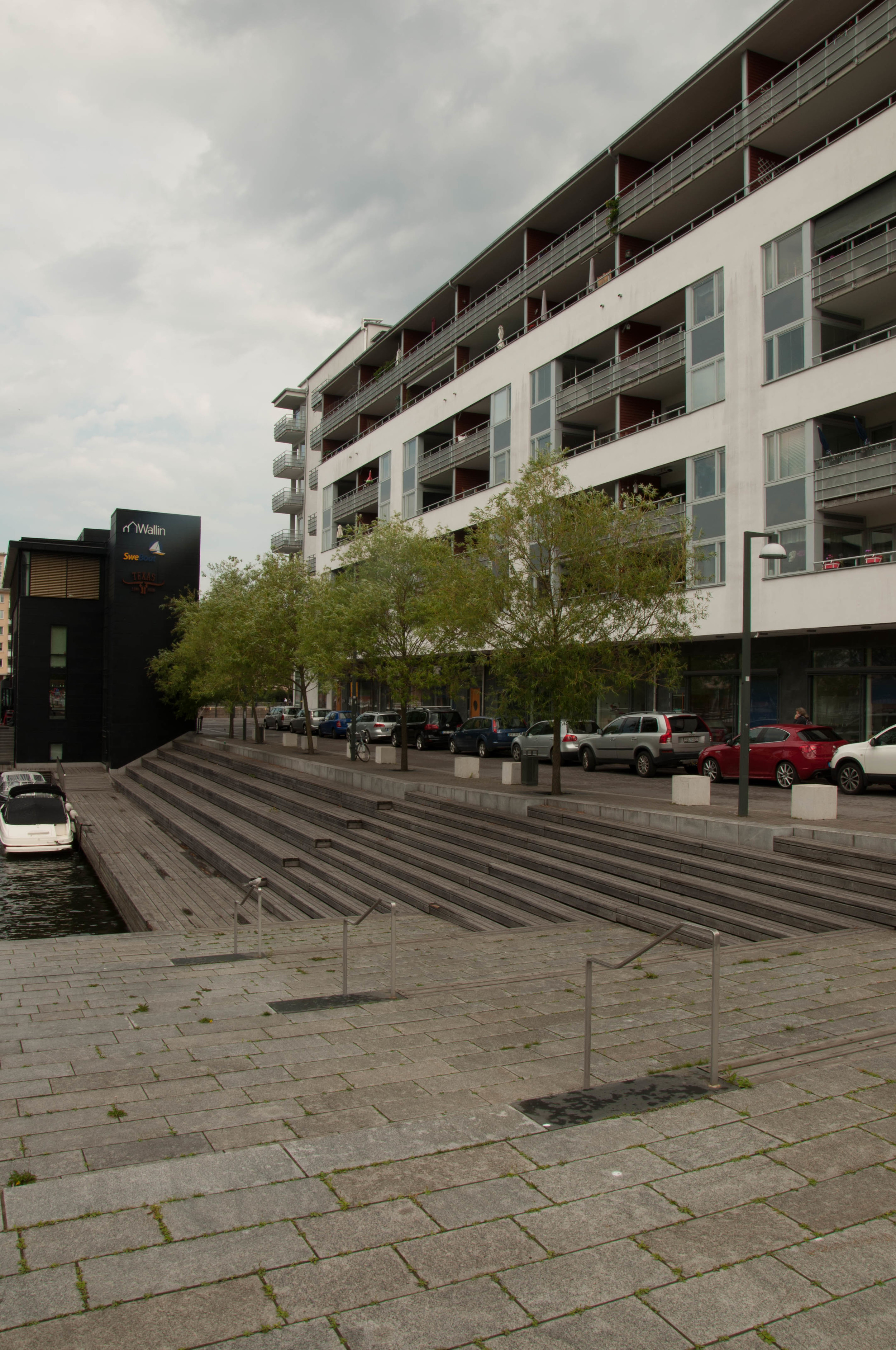
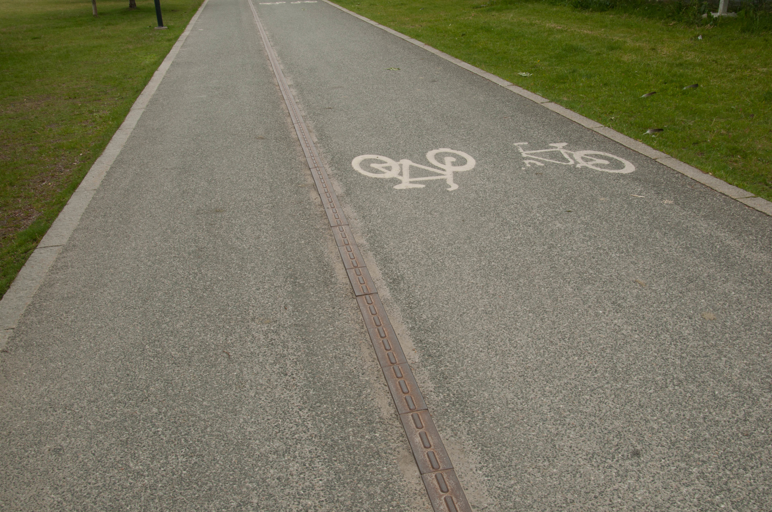
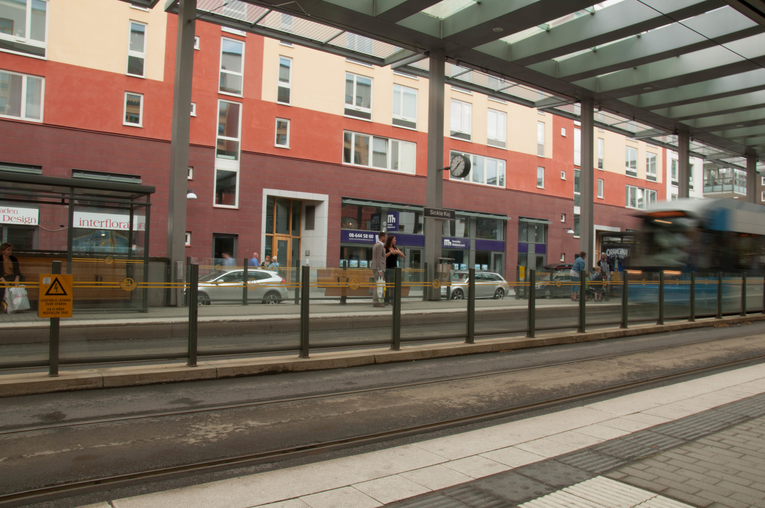
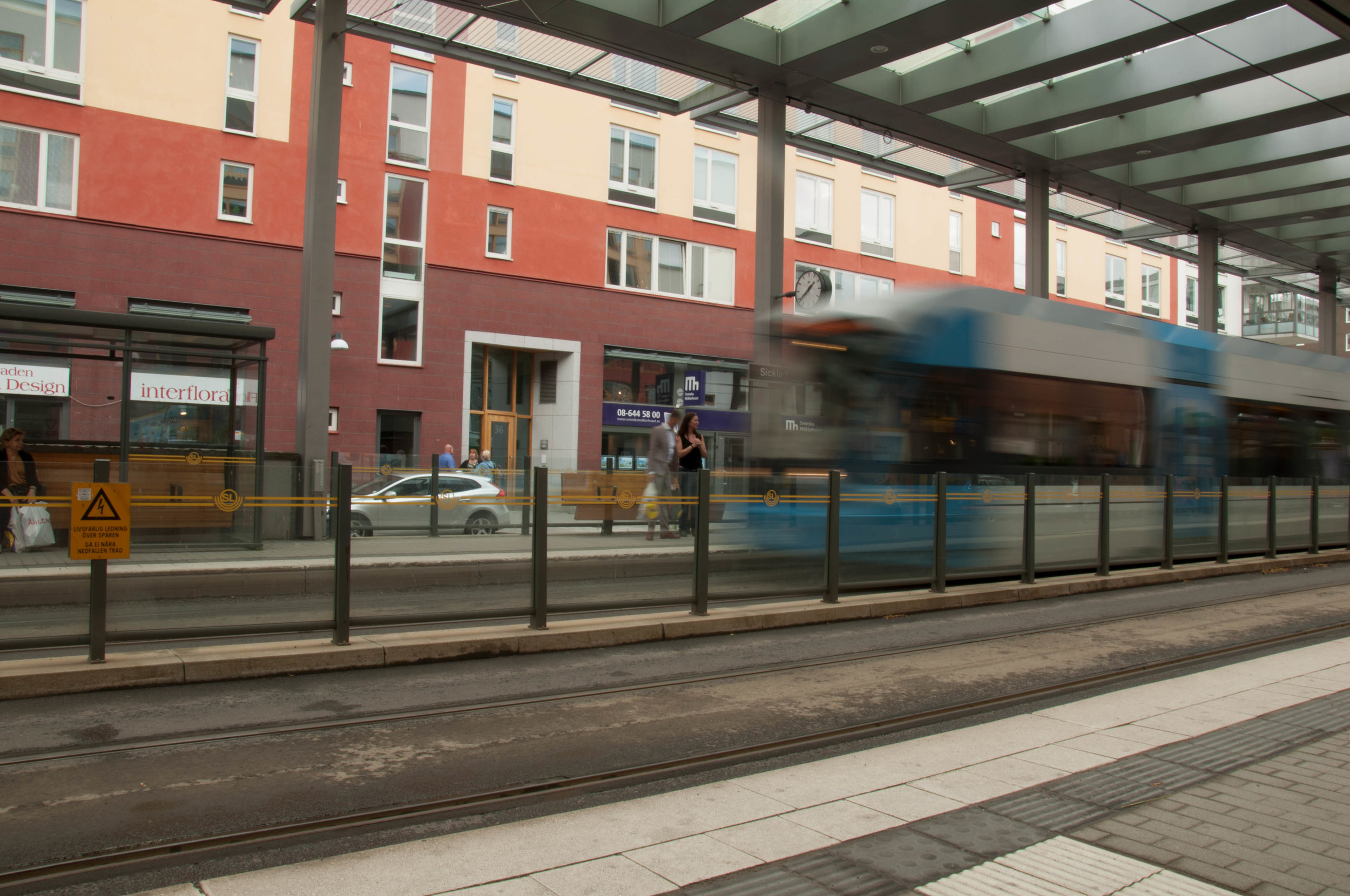
The current summer exhibition at DAC, Let’s Play, asks the question: How can we use urban space as a place for sport and movement? As a result of this question, the exhibit and building grounds have been transformed into what I like to call, “the Olivia Newton John physical map,” as there are all these pockets of space that ask one to get physical with it. If we consider our daily activities, there is sound reason in making our environments more physically engaging for the benefit of all. For instance, one of the reasons Copenhagen is so pedestrian and bike friendly is that in the 1960s, the city introduced pedestrian zones in the city center. What happened in the decades that followed were other car-free zones, and 200 miles of bike lanes. Why you may ask—because these historic streets were designed for pedestrians and maybe a horse cart, not for automobile congestion. Which is the same conclusion the people and city planners came to in the post-WWII era.

I’ve noticed too that the Danes are very friendly people. But, this isn’t a surprise to me, as growing up in Bay Ridge, Brooklyn in the 1980s, where the last large Scandinavian population in New York City lived, there were many Norwegian and Danish families who welcomed my family as well. Now, walking in their capital, I also think their friendly attitude has much to do with increased daily exercise and making the most of the weather even when it is bad.

Somewhere Over the Rainbow

Copenhagen Jazz Festival

On this short trip, my timing could not have been more perfect, as I came to Copenhagen just at the start of the annual Copenhagen Jazz Festival. The streets were brimming with music from a number of free concerts. Caught in a raining cats and dogs moment near Højbro Plads, I stumbled upon a square where “Somewhere Over the Rainbow” was playing. Though soaked through, I couldn’t help but have a big goofy grin as I enjoyed my pint of Carlsberg and realized I was over the rainbow.


[1] Naturally, in Danny Kaye’s voice and not my own. What can I say? If it was not a cartoon or on PBS, my parents would only allow my sister and I to watch most films that were pre-1970. As a result, I grew up with a love of classic films, particularly, musicals.


Stockholm…Stress…Shutdown

30 June - 2 July 2016

Hälsningar Från Stockholm!

Well, I finally made it to Stockholm and somehow my left foot looks like it swallowed a banana and I am in bed with flu. Not the greatest start to a expl-ork-cation, but I’ll take it. I genuinely think that this is my body’s way of notifying me that it is time to just stop and shutdown for a while. The only thing that bugs me about it is that I’ve waited all my life to go to Sweden, and I finally get there only to spend two days cooped up in my flat. Honestly, if I didn’t have bad luck, I wouldn’t have any luck at all.

Thankfully, I am staying in a really nice studio apartment in Solna called 2Home Hotel Solna, which has a gym, laundry room, sauna, and is in a nice neighborhood with a COOP grocery store nearby. I really can’t complain.

Though I did not get to see as much of Stockholm as I would have liked, I ABSOLUTELY LOVED IT! The coffee here is amazing! The aroma is simply intoxicating, and I get a little excited-high every time I smell a whiff in the street. Plus, this summer light is gorgeous! Twilight is my favorite time of day, and during the summer nights in Stockholm, night is just an extended version of twilight. The sky is just full of the most amazing blues, purples, golds, pinks, and orange. Simply beautiful!

Did you get any work done on your project?

Of course I did! Because I am such a stubborn person, I have hard time giving up on things. So in the space of four hours, I reserved my train seat to Copenhagen, walked most of Hammarby Sjöstad, talked with a few locals, and had some time to catch some rays and an ice cream before I left. Sadly, I was not able to interview a few of the store owners I wanted to speak with before I left, but I made sure to take their contact information.

Hammarby Sjöstad Eco-Living Done Right

Hammarby is a lakeside community that is a few kilometers south of Stockholm’s city center. Development of this site began in the early 1990s as part of Stockholm’s bid for the 2004 Olympics. Even then the plan was to develop the former industrial area into an ecological sports center and athlete’s village. The mission of Hammarby Sjöstad is to create an urban district which would be twice as good in terms of reduced environmental impact, and which would use half of the amount of energy used in a typical development (Inghe-Hellström 2005). So successful that it is referred to as the Hammarby Model, the backbone of the design is the incorporation of infrastructure from the beginning. Some of these measures include (Source: http://www.futurecommunities.net/):

  • New public transportation routes
    • Two new bus routes (intercity buses are fueled by bio-gas).
    • A free ferry service.
    • New tram line that links Hammarby to the city center.
    • A care sharing scheme, which includes twenty-five cars placed around the neighborhood. 
  • District heating and cooling
    • Apartments are linked to the city’s district heating, and district cooling is offered to offices and stores.
    • Sewage from the apartments is converted into heat energy and bio-gas for use in district heating plants and public transportation vehicles.
    • Incorporation of solar panels or solar cells into building envelopes.
  • An underground waste collection system for the neighborhood as a whole
    • ENVAC waste system.
    • Solid waste from the processing of sewage is composted and used in foresting.
  • Development of greenspaces to support local wildlife and provide a united aesthetic:
    • Linear greenspaces that connect ends of the community to each other.
    • A nature reserve.
    • Lowering the road alongside the development by two meters to reduce noise pollution.

But what is it like to live there? Check out these photos of a typical Saturday afternoon.

Foggy Delays

29 June 2016

Greetings from Reykjavik!

Departing from Newark yesterday was a very odd experience.  As I arrived at the airport, the attacks at Ataturk Airport had literally just occurred. While I was excited to leave for my trip and new experiences, I could not help but feel a sadness for all the people that were going to the airport with the same excitement and unfortunately died instead. Facing terror has, sadly, become part of one’s everyday experience everywhere. I, for one, refuse to let this fear of unknown force me into a life of false contentment, when my heart yearns to see and experience all there is in this world. To those unfortunate victims, full of hopes for their travels, I dedicate part of my journey to you. 

Additionally, thanks to the massive amount of fog that set down in New York, my flight was unable to take off on time. We sat on the runway for close to two hours before any of the northern flights were cleared for take off. Luckily, I had a very nice seat mate, Kirsten, who was on her way to Iceland and then Sweden for a family reunion, and I was able to watch one of my favorite films, Blake Edwards’s The Pink Panther while falling asleep. But, when I arrived in Reykjavik, I had missed my connecting flight to Stockholm. However, the friendly and very prepared folks at Iceland Air had arranged passage on another flight that departed at 1am, a hotel to stay at and relax in Iceland, taxis to and from the airport, and meals. As tired as I was when we landed at Keflavik at 6:45a, it was nice to know that all of that had been arranged and that nothing further was required on my end.

Having come from the sticky weather in New York, Iceland’s cooler temps and long sunlit hours were a much welcomed bit of relief. While I did spend most of my time sleeping, I was glad that I will have a day and a half at the end of my trip to explore.

When 9pm on a June night looks and feels like this, I could get used to living on a volcanic rock.

When 9pm on a June night looks and feels like this, I could get used to living on a volcanic rock.


On The Waterfront

28 June 2016

Hello, and welcome to the start of On The Waterfront: The Ecological and Sociological Implications to Community with the Revitalization of European Urban Waterfronts. It sounds heavy, but there’s lots of travel in between, and I promise to keep the blog portion of it light—for both our sakes.

You’re Traveling For Seven Weeks! How Did That Come About?

Traveling is one of many passions, which I try to incorporate into all aspects of my life. One can gain a world of knowledge from books and the Internet, but it is a world limited by someone else’s subjectivity. To fully understand place, societal conditions, and history, one must travel to places of interest and experience full sensory stimulation and reflection. The journey provides immeasurable perspective, and it is the reason that—just as last year—I apply for as many travel funds and grants that I can find.

This summer I am completing an elective course at the Parsons Paris campus. I decided to look for ways to add my study interests to my time in Europe, as I would be in France for all of July. As a graduate student at Parsons, I am fortunate that the school believes in sponsoring travel in the name of education[i]. While the disbursement of the travel fund has changed from being issued a student budget-friendly check to a more corporate Concur Expense Reporting account, I am nonetheless grateful for the opportunity.

What is This Trip About? Why Urban Waterfronts?

Seeded from ideas in two courses I took in Fall 2015—Architecture Design Studio 3: The Gowanus Water Studio and Theory of Urban Form (ToUF)—the proposal for this travel fund was a product of my case study project on Industry City Brooklyn. In this case study, Industry City: Factory for a Community’s Future, I theorized a phased revitalization of 1km2 of the area surrounding Brooklyn’s Bush Terminal. Building on the current maker-centric development, and the history and characteristics of the surrounding Greenwood Heights and Sunset Park neighborhoods, my design called for sublimation of the Gowanus Expressway, reinstallation of the Fifth Avenue Light Rail, establishment of a ferry line stop, and expansion of the Bush Terminal Piers Public Park to incorporate waterfront sport, and aquaculture.

The historic Bush Terminal Buildings as viewed at dawn from my apartment.

The historic Bush Terminal Buildings as viewed at dawn from my apartment.

New York City’s historic industrial waterfronts include: The Brooklyn Navy Yard, The Gowanus Canal, Red Hook, Long Island City, Greenpoint, Newtown Creek, DUMBO, South Bronx Maritime and Industrial Area, Red Hook, King Van Kull, as well as several others that I have not listed. In their heyday, these areas were commercial and manufacturing arteries to New York City—ships were built, material imported, products exported, and pollution accumulated. As with Industry City, many of these areas fell into a period of abandonment following the mass exodus of manufacturers and subsequent economic capital in the mid-twentieth century. These “ghostfronts” became hotspots for crime, prostitution, vagrancy, poverty, and the biggest crime of all—the neglect of the middle class that lived in surrounding neighborhoods. In retrospect, it is easy to say that had industry not moved out, the character and quality of life in New York City would have developed very differently. However, one cannot predict the effect of even the smallest technological innovations; and thus, we make decisions to cut short-term costs rather than for long-term longevity.

We are caretakers of the ground we walk on, and it is important that the environmental and ecological damage caused from our industrial past stop marring the character of these neighborhoods. New life—that is not luxury housing or commercial enterprises—can be injected to these areas and without causing the dislocation of the communities that live there. Since the 1992 Comprehensive Waterfront Plan, many of NYC’s industrial waterfront areas have be rezoned. But, to incorporate the proposed initiatives of Vision 2020, massive infrastructural changes must be made. These changes include: the construction of roads where none existed, neighborhood amenities, public transportation, and the development of schools, libraries, hospitals, and various institutions.

So, why look to Europe? The short and simple answer is that waterfront redevelopment is an urban problem that many European cities have committed themselves to since the mid-twentieth century. By examining the older cities that are characteristically similar to New York, I hope to compile a ‘database’ of case studies that examine the city’s commitment to sustainability, ecology, and its people, as well as, look at some of the problems that are still being addressed.


[i] Parsons Graduate Student Travel Fund.